Browse / Sri Lanka / Eastern / Batticaloa
Batticaloa
Easterncity

Batticaloa
Total population
92,300
Demographic figures from Department of Census and Statistics, Sri Lanka. Overview below cites Wikipedia and may reference a different year.
City facts
Facts from Wikidata (CC0).
Overview
Batticaloa is a major city in the Eastern Province, Sri Lanka, and its former capital. It is the administrative capital of the Batticaloa District. The city is the seat of the Eastern University of Sri Lanka and is a major commercial centre. It is on Sri Lank's east coast, 111 kilometres (69 mi) south of Trincomalee, and is situated on an island. Pasikudah is a popular tourist destination 35 km (22 mi) to the northwest, with beaches and flat year-round warm-water shallow lagoons.
Read more on WikipediaHistory & geography
History
Mattakallappu Manmiyam refers (மட்டக்களப்பு மான்மியம்) Mukkuva or Mutkuhar are known as the first people migrated to this land and constructed seven villages in various areas. They immigrated their people from India and established the kingdom of Mukkuva. The name of the villages and towns in Batticaloa still holds the historical evidence of the ancient batticaloan people. When Mutkuhar intruded through the salty water and reached the destination of their voyage at the forests situated around the lagoon. When they finished. The name given by the Mukkuva was "Kallpu-Mattam" which literally means "boundary of lagoon". Later it was called "Matta-Kallappu" which indicates the destination of Mukkuva's voyage and the water is flat. Mukkuva is a coastal community from Ancient Tamil country. They are of mixed origin and migrated at various periods in history. Mukkuvas waged war around Puttalam and settled in the western coast as well. Sinhala Kings of Suryawamsa kept Mukkuvas as their mercenary force. They waged wars on other countries like Burma. Gajabahu, Parakramabahu, Vijayabahu were some of these Suryawamsa kings who employed the Chera soldiers for their protection and defence of Sri Lanka. Gajabahu I was a friend of Cheran Chenkuttuvan and was mentioned in the great Jain epic of Silappadikaram and in addition to that he was also mentioned in Mahawamsa. When Anuradhapura was destroyed, the capital moved from Anuradhapura to Polonnaruwa. When Pollonaruwa was destroyed the capital moved to Kotte and then to Kandy. Anuradhapura was destroyed by Rajaraja Cholan and he who established Polonnaruwa. Even though Pollonaruwa had a few Hindu temples it was a great Buddhist city full of beautiful Buddhist architecture matching Angkor Wat. As a catalyst for change, Kalinga Magha…
Geography
Batticaloa is in the eastern coast of Sri Lanka on a flat coastal plain boarded by the Indian Ocean in the east occupies a central part of the eastern Sri Lanka. Its average elevation is around . Batticaloa district has three lagoons such as Batticaloa Lagoon, Valaichchenai Lagoon, and Vakari (Panichchankerni) Lagoon. Among these lagoons, Batticaloa Lagoon is the largest lagoon, which is long and has an area of , extending from Pankudaweli in North and Kalmunai in South. There are several islands within the Batticaloa Lagoon such as Puliayantheevu, Buffaloa Island and Bone Island. Many bridges are built across the lagoon connecting the landmasses and the islands. The Puliayantheevu is the metropolitan place of the city. The biggest bridge of all is Lady Manning bridge located at Kallady, which is the main access path to the city from the southern places of the district. This bridge is also famous for Singing fishes which were considered as musical sounds heard in the Kallady lagoon on a full moon day. A priest named Father Lang recorded this musical charm and broadcast it in the 1960s over the (Sri Lanka Broadcasting Cooperation) Batticaloa beaches are sandy and located along shoreline in the city and further extend through the neighboring places. They include Kallady beach, Pasikudah, and Kalkudah. Pasikudah is a bay protected from the ocean, with a flat and sandy bed extending meters from the shore. Batticaloa has a tropical monsoon climate (Am) under the Köppen climate classification, also generically referred to as 'dry-monsoonal climate'. Batticaloa's climate is warm to hot throughout the year. From March to May, the warmest time of the year, the maximum temperature averages around 32 degrees Celsius (88 degrees Fahrenheit). During the monsoon season from…
Excerpted from the corresponding Wikipedia article (CC BY-SA).
Geography
Coordinates & boundaries from the US Census TIGER/Line shapefiles.
Climate
Air quality
Walkability
Amenities nearby
Wildlife & biodiversity
Earthquake history
Photos
Sights & places nearby
Notable people from here


People born within ~10 km, from Wikidata (CC0). Click any name for their Wikipedia article.
Nearby places in Eastern
- Chenkaladi7.8 mi away
- Unnichchai13.1 mi away · pop. 5,000
- Rukamputur14.8 mi away · pop. 5,000
- Tumpalancholai15.4 mi away · pop. 5,000
- Kalkudah15.5 mi away · pop. 5,000
- Kurumunveli16.8 mi away · pop. 5,000
- Nugelanda17 mi away
- Bakkiella17.1 mi away
- Pasikudah Bay17.6 mi away · pop. 5,000
- Mangalagama18 mi away
- Rajagalathenna18.8 mi away
- Nuwaragalathenna20.1 mi away
Geography & sun
Elevation, sunrise/sunset and daylight from Open-Meteo. Solar climatology from NASA POWER.
Nearby airports
Public attention
Pageview totals from the Wikimedia Pageviews API.
Books about Batticaloa

Search results from Open Library.
Recent natural events nearby
Ground air-quality sensors
Recently spotted species
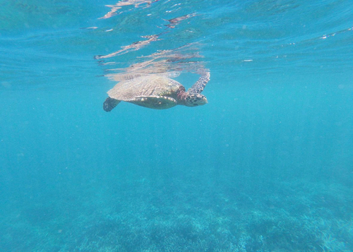
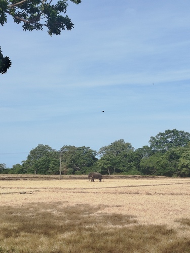
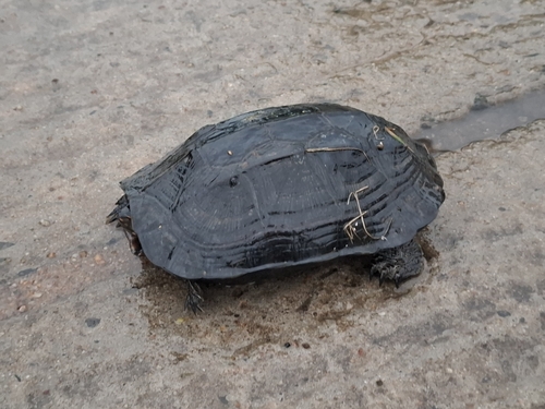
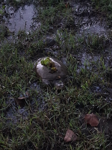
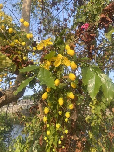
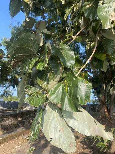
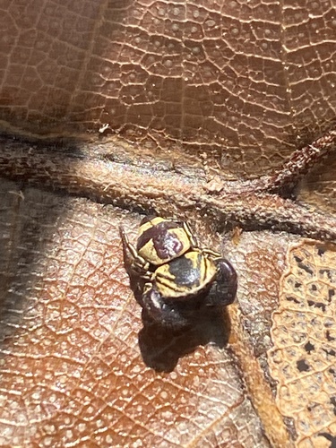
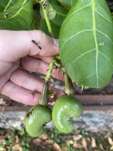
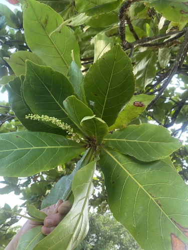
Research-grade observations from iNaturalist (within ~15 mi).
Events
Gallery
Sources
- • Wikipedia
- • Wikidata
- • iNaturalist
- • Open-Meteo / sunrise-sunset.org
- • Wikipedia Pageviews API
- • Open Library