Browse / Sri Lanka / Northern / Elephant Pass
Elephant Pass
Northerntown

Elephant Pass
Total population
15,000
Founded
1952
Demographic figures from Department of Census and Statistics, Sri Lanka. Overview below cites Wikipedia and may reference a different year.
City facts
Facts from Wikidata (CC0).
Overview
Elephant Pass is a region located at the gateway of the Jaffna Peninsula in the Northern Province, Sri Lanka. It lies about 340 km north of the capital. It has an important military base and used to be the island's largest salt field. It was regularly the site of battles during the Sri Lankan civil war.
Read more on WikipediaHistory & geography
History
Elephant Pass is described by Indian author Kalki Krishnamurthy in his Tamil language novel Ponniyin Selvan. Elephant Pass has been a strategic military base since 1760, when the Portuguese built a fort in the area, which was later rebuilt and garrisoned by the Dutch in 1776 and later the British. A modern military base was built in Elephant Pass by the Sri Lankan Army (SLA) in 1952. At a certain point, the base and its outlying camps expanded to cover an area long and wide. The pass was eventually recaptured by Sri Lankan Army in the Third Battle of Elephant Pass in 2009, as part of a campaign that led to military defeat of the Tamil Tigers. Before the war, the Elephant Pass saltern produced 60,000–80,000 metric tons of salt production per annum and supplied 30–40% of the total salt requirement of the country. However, due to the civil war, saltern operations were abandoned in 1990. Since the liberation of the area by Sri Lankan military forces, the government has shown interest in rebuilding the salterns in the area, due to its immense potential for exporting salt. De-mining in the area has been completed by Delvon Assistance for Social Harmony (DASH) with the support of the Australian Government. Under the phase I programme which covered 330 acres, it was expected that the reactivation of phase I would lead to a production of 20,000–25,000 metric tons per annum of salt production. The second phase of the Elephant Pass saltern of 447 acres commenced in 2015 and is expected to be funded under Treasury funds. An additional 30,000 metric tons are expected and the total employment opportunities generated will be over 3,000. After completing the entire infrastructure development of the saltern, it is envisaged that the salt production will be around 70,000 to 100,000…
Excerpted from the corresponding Wikipedia article (CC BY-SA).
Geography
Coordinates & boundaries from the US Census TIGER/Line shapefiles.
Climate
Air quality
Walkability
Amenities nearby
Wildlife & biodiversity
Earthquake history
Photos
Sights & places nearby
Notable people from here
Geography & sun
Elevation, sunrise/sunset and daylight from Open-Meteo. Solar climatology from NASA POWER.
Nearby airports
Public attention
Pageview totals from the Wikimedia Pageviews API.
Books about Elephant Pass





Search results from Open Library.
Recent natural events nearby
Ground air-quality sensors
Recently spotted species
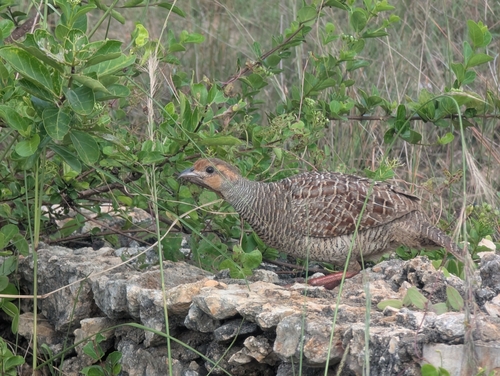
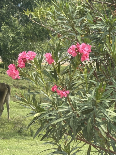
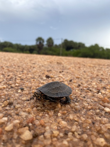
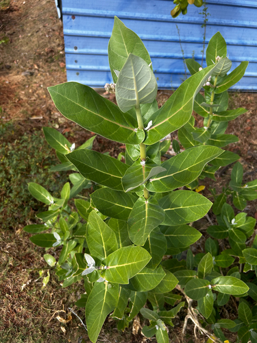

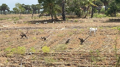
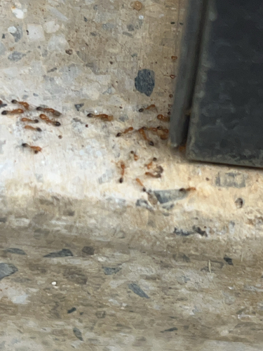
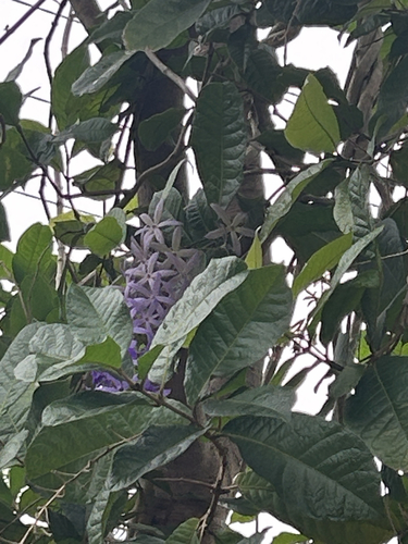
Research-grade observations from iNaturalist (within ~15 mi).
Events
Gallery
Sources
- • Wikipedia
- • Wikidata
- • iNaturalist
- • Open-Meteo / sunrise-sunset.org
- • Wikipedia Pageviews API
- • Open Library