Browse / Sri Lanka / Central / Galhinna
Galhinna
Centralvillage
Total population
5,000
Founded
1880
Demographic figures from Department of Census and Statistics, Sri Lanka. Overview below cites Wikipedia and may reference a different year.
City facts
Facts from Wikidata (CC0).
Overview
Galhinna is a village situated in the Kandy District, Central Province, Sri Lanka. It is administered by the Pujapitiya divisional secretariat. The town is located nearly 3 kilometres (2 mi) away from the town of Ankumbura and is surrounded by the villages of Ramakotuwa, Udagama, Bulugaha Ela, Welgala, Galkanada, Medilla, Alawatta, Bebilagolla, Kovila Muduna, Kandekumbera. It is located 22 kilometres (14 mi) north-west of the Kandy, at an altitude of 675 metres (2,215 ft) above sea level and is one of the highest points in Kandy.
Read more on WikipediaHistory & geography
History
The general area of Galhinna is surrounded by range of mountains and is mainly by tea plantations and rubber estates. It has a rich history and holds an important place in business education. The area is thought to have been inhabited from as early as the 19th century AD. Galhinna is home to Al Manar National School, Galhinna, established in 1934. This public school provides secondary education for approximately 1,000 pupils. The Galhinna Grand Mosque is another important place in the village. The grand mosque in the village is one of the oldest in Sri Lanka. Next to it is the Islamic Madrasa named Jamiathul Faththah Arabic College, which has been one of the wealthiest Islamic institutions in Sri Lanka for the past two centuries. The village has several small mosques and a few Buddhist temples in the surrounding areas. Another girls' Islamic Madrasa is located at Thaqwa Gardens in Galhinna named Dharuth Thaqwa Girls Arabic College, officially started on 23 January 2008. The first batch has passed out in 2012.
Excerpted from the corresponding Wikipedia article (CC BY-SA).
Geography
Coordinates & boundaries from the US Census TIGER/Line shapefiles.
Climate
Air quality
Walkability
Amenities nearby
Wildlife & biodiversity
Most-observed species
- Red-vented BulbulPycnonotus cafer (Linnaeus, 1766) · Aves1,210
- Common MynaAcridotheres tristis (Linnaeus, 1766) · Aves1,138
- Spotted DoveSpilopelia chinensis (Scopoli, 1786) · Aves1,003
- White-throated KingfisherHalcyon smyrnensis (Linnaeus, 1758) · Aves943
- Yellow-billed BabblerTurdoides affinis (Jerdon, 1845) · Aves787
- Black-hooded OrioleOriolus xanthornus (Linnaeus, 1758) · Aves736
- Common TailorbirdOrthotomus sutorius (Pennant, 1769) · Aves726
- Brown-headed BarbetPsilopogon zeylanicus (J.F.Gmelin, 1788) · Aves722
Citizen-science & research observations from the Global Biodiversity Information Facility (GBIF).
Earthquake history
Events from the USGS Earthquake Catalog (global) (FDSN Event Web Service).
Photos
Sights & places nearby
Notable people from here
Geography & sun
Elevation, sunrise/sunset and daylight from Open-Meteo. Solar climatology from NASA POWER.
Nearby airports
Public attention
Pageview totals from the Wikimedia Pageviews API.
Books about this place
Recent natural events nearby
Ground air-quality sensors
Recently spotted species
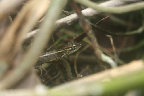
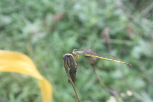
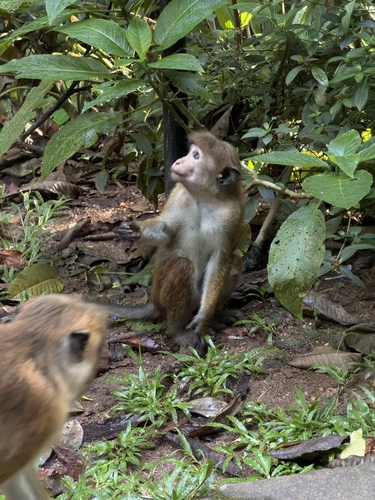
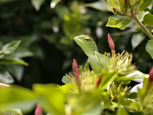
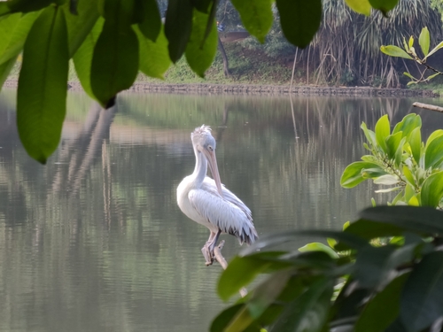
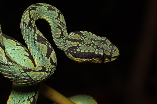
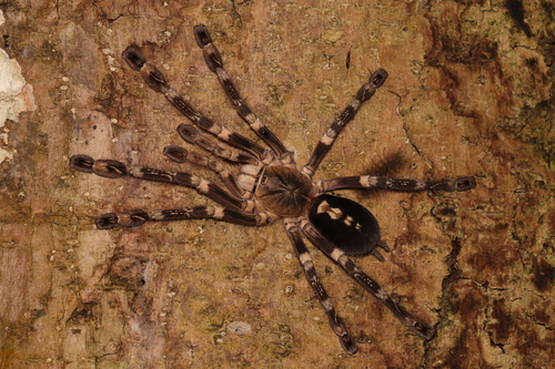
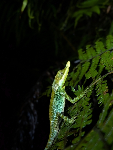
Research-grade observations from iNaturalist (within ~15 mi).
Events
Gallery
Sources
- • Wikipedia
- • Wikidata
- • USGS Earthquake Catalog (global feed)
- • GBIF (Global Biodiversity Information Facility)
- • iNaturalist
- • Open-Meteo / sunrise-sunset.org
- • Wikipedia Pageviews API