Browse / Sri Lanka / Western / Gampaha
Gampaha
Westerncity

Gampaha
Total population
20,000
Demographic figures from Department of Census and Statistics, Sri Lanka. Overview below cites Wikipedia and may reference a different year.
City facts
Facts from Wikidata (CC0).
Overview
Gampaha is an urban city in Gampaha District, Western Province, Sri Lanka. Situated to the north of the capital Colombo, Gampaha is the second largest urban centre in the Gampaha District after Negombo.
Read more on WikipediaHistory & geography
History
During reign of Portuguese, the main route to the hill country had been laid through the Gampaha area and in the period of Dutch, this area was served as centre for the collection of cinnamon. But before year 1815, it is said that Gampaha was a dense forest. The 5th Governor of Ceylon, Sir Edward Barnes made a visit to Gampaha in 1825, on the way to observe the construction work of the Negombo-Colombo main road. When British built the “Moragoda” catholic church in 1828, Gampaha and surrounding areas slowly became inhabited. As the extension of the railway track from Colombo to Ambepussa, the Henarathgoda railway station was completed in 1866 which acted as a key factor for the progress and recognition of the town. In 1867, the first rubber tree of Sri Lanka was planted in Henarathgoda botanical garden. The town was planned in 1920, with 52 roads including the main street, a water tank, a public market, a hospital and an electrical generator. Most of these are still present in their original sites with various improvements over time.
Excerpted from the corresponding Wikipedia article (CC BY-SA).
Geography
Coordinates & boundaries from the US Census TIGER/Line shapefiles.
Climate
Air quality
Walkability
Amenities nearby
Wildlife & biodiversity
Earthquake history
Photos
Sights & places nearby
Notable people from here


People born within ~10 km, from Wikidata (CC0). Click any name for their Wikipedia article.
Nearby places in Western
Geography & sun
Elevation, sunrise/sunset and daylight from Open-Meteo. Solar climatology from NASA POWER.
Nearby airports
Public attention
Pageview totals from the Wikimedia Pageviews API.
Books about Gampaha
Search results from Open Library.
Recent natural events nearby
Ground air-quality sensors
Recently spotted species
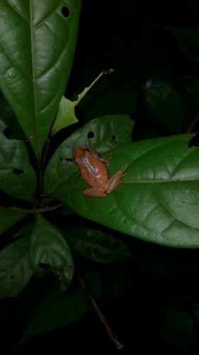
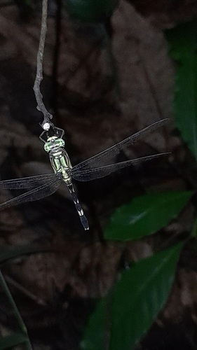
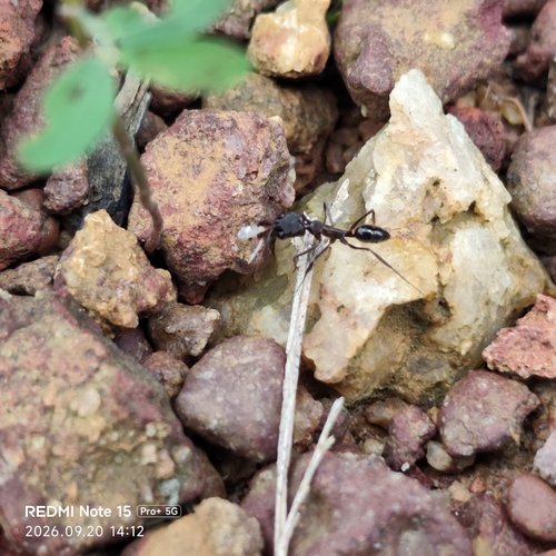
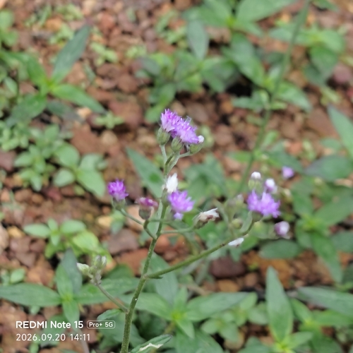
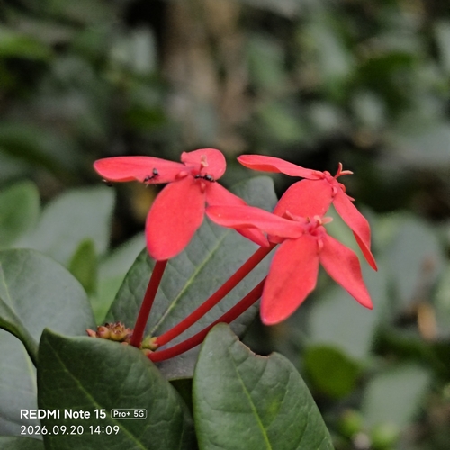
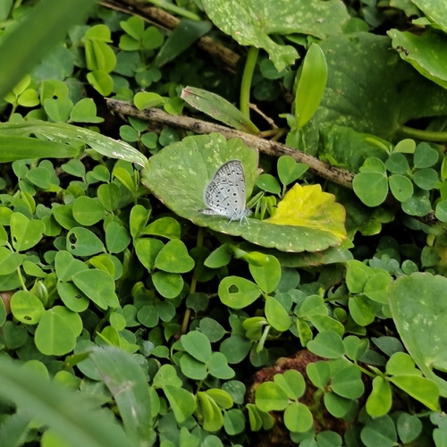
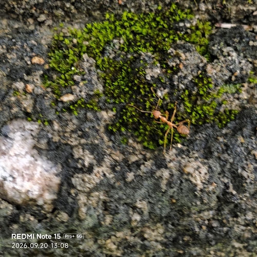
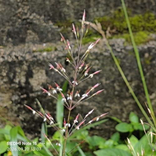
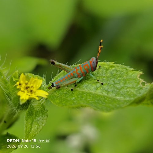
Research-grade observations from iNaturalist (within ~15 mi).
Events
Gallery
Sources
- • Wikipedia
- • Wikidata
- • iNaturalist
- • Open-Meteo / sunrise-sunset.org
- • Wikipedia Pageviews API
- • Open Library