Browse / Sri Lanka / Central / Hapugastalawa
Hapugastalawa
Centralvillage
Total population
10,000
Demographic figures from Department of Census and Statistics, Sri Lanka. Overview below cites Wikipedia and may reference a different year.
City facts
Overview
Hapugastalawa is a rural town in the Nuwara Eliya District, Sri Lanka. Hapugastalawa is located 52.7 km (32.7 mi) west of Nuwara Eliya, in the Divisional Secretariat Division of the Kothmale.
Read more on WikipediaHistory & geography
Geography
Hapugastalawa is located at the edge of the Kothmale Valley with the villages of Halgolla, Harangala, Ruwanpura and Gorakaoya. To the east and southeast Hapugastalawa is bounded Halgolla Village which shares the same postcode of 20668. The suburb is predominantly residential with the main shopping area of Hapugastalawa centered between Kothmale, Nawalapitiya Gorakaoya and Gampola roads around the town centre.
Excerpted from the corresponding Wikipedia article (CC BY-SA).
Geography
Coordinates & boundaries from the US Census TIGER/Line shapefiles.
Climate
Air quality
Walkability
Amenities nearby
Wildlife & biodiversity
Earthquake history
Photos
Sights & places nearby
Notable people from here


People born within ~10 km, from Wikidata (CC0). Click any name for their Wikipedia article.
Geography & sun
Elevation, sunrise/sunset and daylight from Open-Meteo. Solar climatology from NASA POWER.
Nearby airports
Public attention
Pageview totals from the Wikimedia Pageviews API.
Books about this place
Recent natural events nearby
Ground air-quality sensors
Recently spotted species
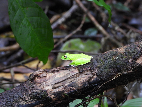
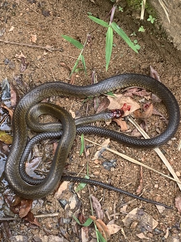
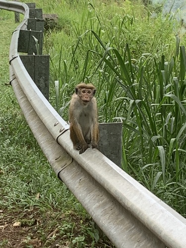
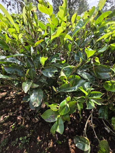
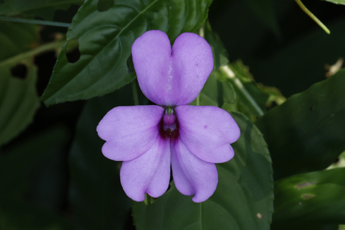
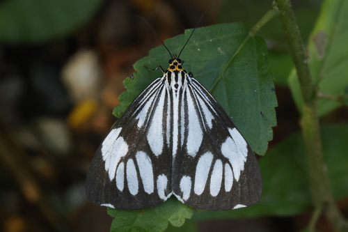
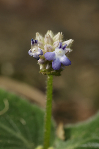
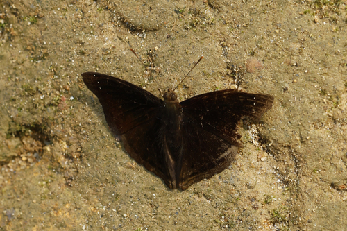
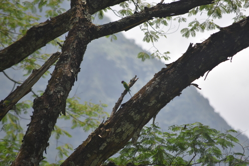
Research-grade observations from iNaturalist (within ~15 mi).
Events
Gallery
Sources
- • Wikipedia
- • Wikidata
- • iNaturalist
- • Open-Meteo / sunrise-sunset.org
- • Wikipedia Pageviews API