Browse / Sri Lanka / Eastern / Kalmunai
Kalmunai
Easterntown

Kalmunai
Total population
25,000
Demographic figures from Department of Census and Statistics, Sri Lanka. Overview below cites Wikipedia and may reference a different year.
City facts
Facts from Wikidata (CC0).
Overview
Kalmunai is a city located in the Ampara District of Eastern Province, Sri Lanka.
Read more on WikipediaHistory & geography
History
Kalmunai has a historical background that dates back centuries. The region has been influenced by various civilisations, including the ancient Tamil kingdoms, colonial powers, and the indigenous Muslim community. Over time, Kalmunai became an important trading post due to its coastal location, facilitating maritime trade routes with other countries. During the Sri Lankan civil war, Kalmunai experienced the devastating effects of the conflict. The city faced numerous challenges, including forced disappearances, civil unrest, and violence targeted at local civilians. In 2004, Kalmunai was severely impacted by the Indian Ocean tsunami. The natural disaster resulted in the loss of many lives and caused extensive damage to the city's infrastructure and property.
Geography
Kalmunai is situated on the eastern coast of Sri Lanka, bordered by the Indian Ocean to the east. Kalmunai MC covers an area of . To the north of Kalmunai lies the village of Periyaneelavanai, which serves as the border between Ampara and Batticaloa Districts. To the south, the city is connected to the suburb of Karaitivu. Kalmunai's geographical features, including its proximity to the ocean and neighboring villages, have shaped its identity and provided opportunities for economic growth.
Excerpted from the corresponding Wikipedia article (CC BY-SA).
Geography
Coordinates & boundaries from the US Census TIGER/Line shapefiles.
Climate
Air quality
Walkability
Amenities nearby
Wildlife & biodiversity
Earthquake history
Photos
Sights & places nearby
Notable people from here
People born within ~10 km, from Wikidata (CC0). Click any name for their Wikipedia article.
Nearby places in Eastern
- Karaitivu2.6 mi away · pop. 15,000
- Kurumunveli7.3 mi away · pop. 5,000
- Ruhunugama8.8 mi away
- Ashraff Nagar9 mi away
- Deegavapiya10 mi away
- Addalaichchenai11.4 mi away · pop. 25,000
- Manikkamadu12.6 mi away
- Galapitagala12.6 mi away
- Mayadunna12.8 mi away · pop. 2,500
- Muhammadiya Puram13 mi away · pop. 1,000
- Nugelanda13.5 mi away
- Uhana13.5 mi away
Geography & sun
Elevation, sunrise/sunset and daylight from Open-Meteo. Solar climatology from NASA POWER.
Nearby airports
Public attention
Pageview totals from the Wikimedia Pageviews API.
Books about this place
Recent natural events nearby
Ground air-quality sensors
Recently spotted species

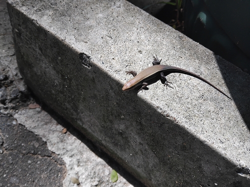
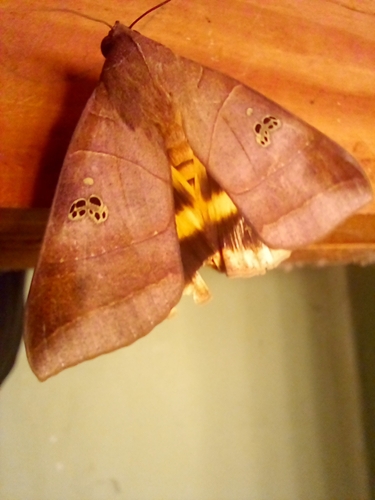

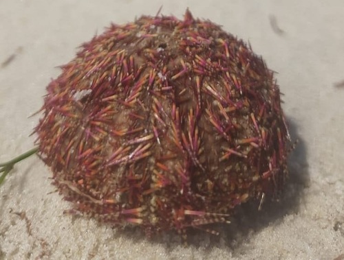
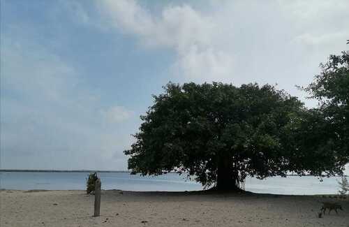
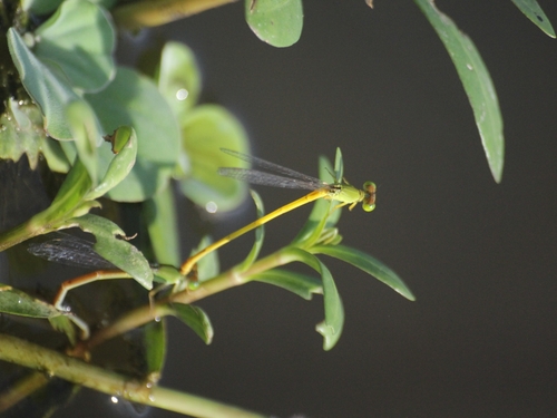
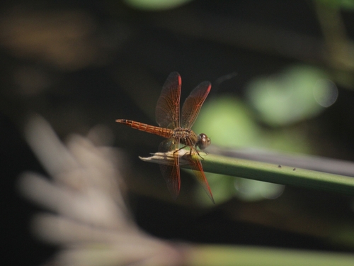
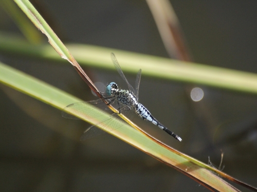
Research-grade observations from iNaturalist (within ~15 mi).
Events
Gallery
Sources
- • Wikipedia
- • Wikidata
- • iNaturalist
- • Open-Meteo / sunrise-sunset.org
- • Wikipedia Pageviews API