Browse / Sri Lanka / Sabaragamuwa / Kegalle
Kegalle
Sabaragamuwacity

Kegalle
Total population
17,900
Demographic figures from Department of Census and Statistics, Sri Lanka. Overview below cites Wikipedia and may reference a different year.
City facts
Facts from Wikidata (CC0).
Overview
Kegalle is a large town in Sabaragamuwa Province of Sri Lanka. It is located on the Colombo–Kandy road, approximately 78 km (48 mi) from Colombo, 40 km (25 mi) from Kandy, 32 km (20 mi) from Kurunegala and 46 km (29 mi) from Avissavella. It is the main town in the Kegalle District, which is one of two districts which comprise Sabaragamuwa Province. The town is governed by an Urban Council.
Read more on WikipediaHistory & geography
History
The history of the area dates back to the stone age of Sri Lanka. According to evidence there had been a prosperous civilisation in Kegalle prior to 28,000 years. The caves of Beli lena, Dorawaka lena, Alu lena, Asmadala, Padavigampola, Batalegala, Lenagala, Ambala Kanda, Halamada, Heenatipana, Uthuwankanda, Beligala, Salawa, Yahalena, Salgala and Kela Dambulla provide evidence of that. According to the archaeology of the Kegalle District, it has been a region in Maya Rata, which was one of three divisions of Sri Lanka. In the latter half of the Sinhalese kingdom and also by the ruling period of the British, Kegalle was further divided into three parts; “Satara Koralaya”,” Thun Koralaya” and “Patha Bulathgama”.
Excerpted from the corresponding Wikipedia article (CC BY-SA).
Geography
Coordinates & boundaries from the US Census TIGER/Line shapefiles.
Climate
Air quality
Walkability
Amenities nearby
Wildlife & biodiversity
Earthquake history
Photos
Sights & places nearby
Notable people from here
Geography & sun
Elevation, sunrise/sunset and daylight from Open-Meteo. Solar climatology from NASA POWER.
Nearby airports
Public attention
Pageview totals from the Wikimedia Pageviews API.
Books about Kegalle
Search results from Open Library.
Recent natural events nearby
Ground air-quality sensors
Recently spotted species
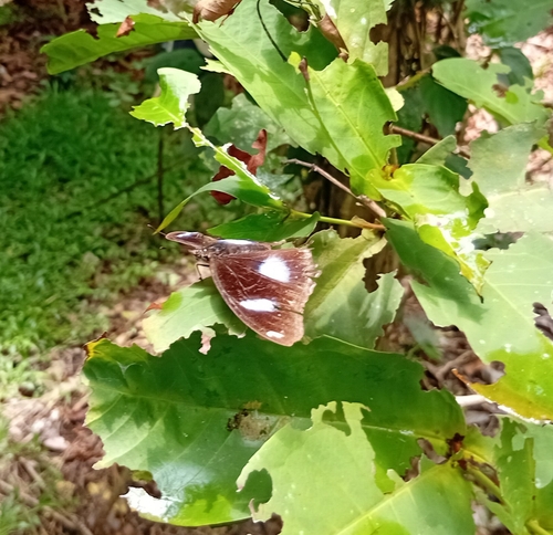
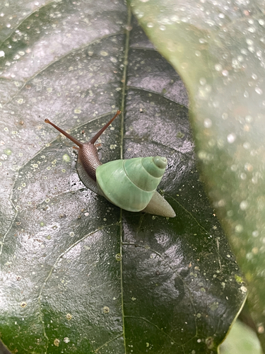
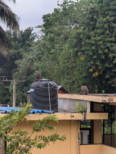
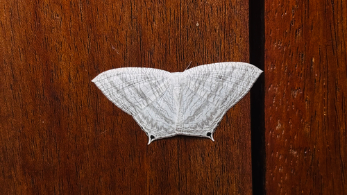
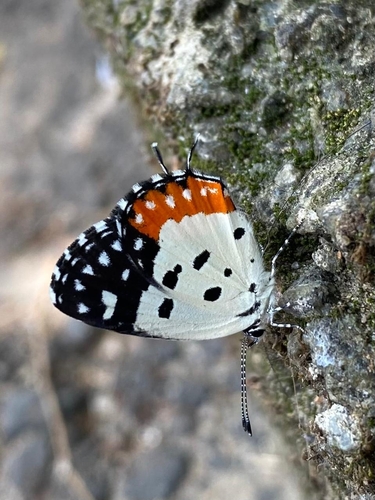
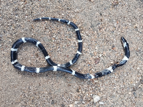
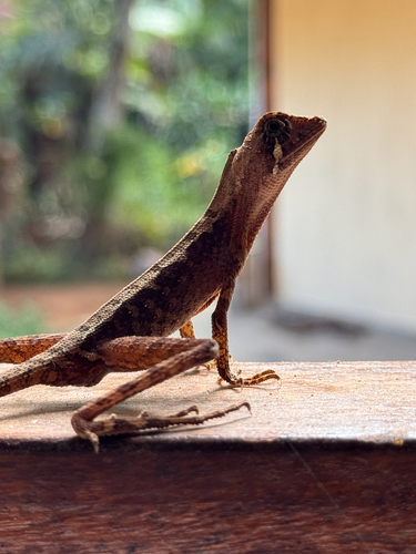
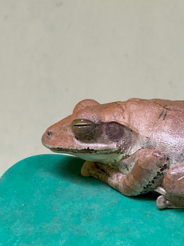
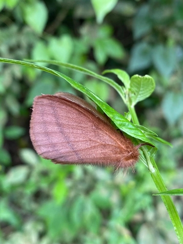
Research-grade observations from iNaturalist (within ~15 mi).
Events
Gallery
Sources
- • Wikipedia
- • Wikidata
- • iNaturalist
- • Open-Meteo / sunrise-sunset.org
- • Wikipedia Pageviews API
- • Open Library