Browse / Sri Lanka / Sabaragamuwa / Kuruwita
Kuruwita
Sabaragamuwatown
Total population
15,000
Demographic figures from Department of Census and Statistics, Sri Lanka. Overview below cites Wikipedia and may reference a different year.
City facts
Overview
Kuruwita is a town in the Ratnapura District of Sabaragamuwa Province of Sri Lanka. It is 87 km from Colombo. It used to be served by the 2 ft 6 in narrow gauge Sabaragamuwa Railway, a branch of the national railway system. And known for the nearby waterfall called Bopath Ella.
Read more on WikipediaHistory & geography
Geography
Coordinates & boundaries from the US Census TIGER/Line shapefiles.
Climate
Air quality
Walkability
Amenities nearby
Wildlife & biodiversity
Earthquake history
Photos
Sights & places nearby
Notable people from here
Nearby places in Sabaragamuwa
- Paradise1.2 mi away · pop. 5,000
- Keeragala1.6 mi away · pop. 5,000
- Sudagala1.9 mi away
- Karapincha2.6 mi away · pop. 1,500
- Pussella3.3 mi away · pop. 5,000
- Galukagama3.6 mi away · pop. 750
- Amithagoda3.6 mi away · pop. 5,000
- Hidellana4.4 mi away · pop. 1,500
- Ratnapura New Town4.6 mi away · pop. 5,000
- Gorakela4.6 mi away
- Gileemale4.7 mi away
- Thunandahena4.9 mi away
Geography & sun
Elevation, sunrise/sunset and daylight from Open-Meteo. Solar climatology from NASA POWER.
Nearby airports
Public attention
Pageview totals from the Wikimedia Pageviews API.
Books about this place
Recent natural events nearby
Ground air-quality sensors
Recently spotted species
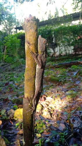
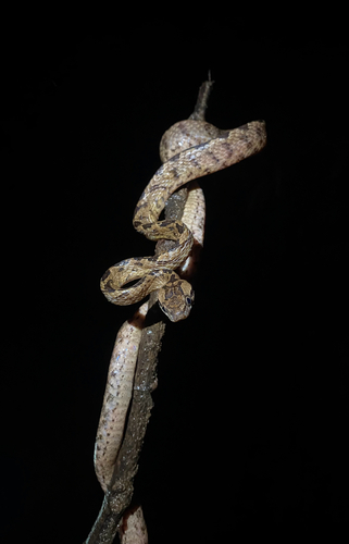
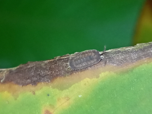
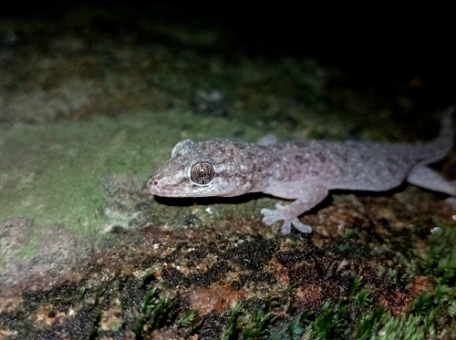
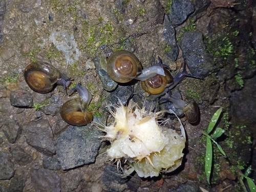
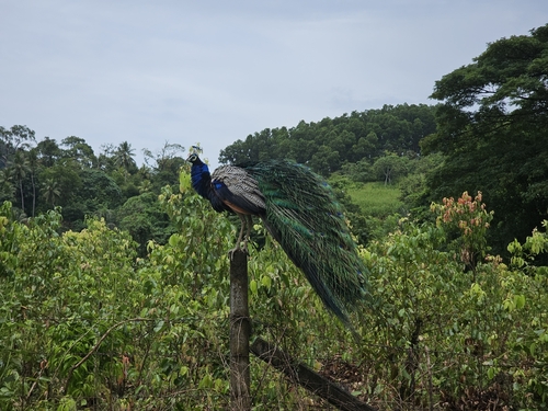
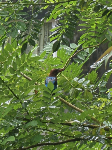
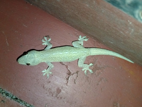
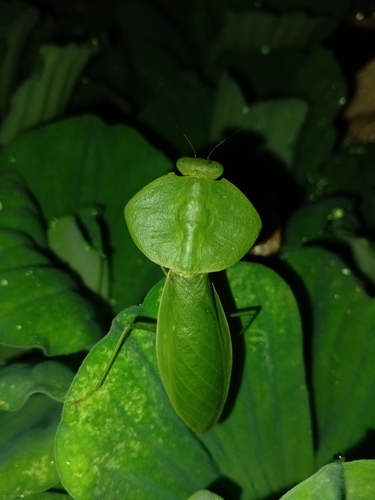
Research-grade observations from iNaturalist (within ~15 mi).
Events
Gallery
Sources
- • Wikipedia
- • iNaturalist
- • Open-Meteo / sunrise-sunset.org
- • Wikipedia Pageviews API