Browse / Sri Lanka / Central / Matale
Matale
Centralcity

Matale
Total population
40,800
Demographic figures from Department of Census and Statistics, Sri Lanka. Overview below cites Wikipedia and may reference a different year.
City facts
Facts from Wikidata (CC0).
Overview
Matale District is a district in the Central Province of Sri Lanka, and one of the country's 25 districts. The administrative capital and largest city is Matale. Covering 1,993 km2 (770 sq mi), the district is considered the centremost region of the island, sharing borders with six other districts: Anuradhapura to the north, Polonnaruwa to the northeast, Badulla and Ampara to the east, Kurunegala to the west, and Kandy to the south.
Read more on WikipediaHistory & geography
History
Archaeological findings at Ibbankatuwa (near Dambulla) place early Iron Age settlement in the district to approximately 750–400 BCE. One of the most significant events in Buddhist history occurred in the district at the Aluvihare Rock Temple in the 1st century BCE, where the Pali Canon (Tripitaka) was first committed to writing on palm leaves by a council of monks during the reign of King Valagamba. The district is home to the Sigiriya Rock Fortress, built by King Kashyapa (477–495 CE) as his royal capital, and the Dambulla cave temple, both UNESCO World Heritage Sites. During the British colonial era, Matale was a centre of resistance; the Matale Rebellion of 1848, led by Gongalegoda Banda and Puran Appu, was centred in the district and marked a transition from feudal anti-colonial revolt to broader popular resistance.
Geography
The landscape of the Matale District is highly diverse, transitioning from the rugged Knuckles Mountain Range in the south to flat, dry plains in the north. Elevations range from 100 metres to over 1,900 metres. The district spans all three major climatic zones of Sri Lanka: the Wet, Dry, and Intermediate zones. The region receives rainfall from both the North-East and South-West monsoons and features significant water resources, including the Suduganga river and major reservoirs such as Kandalama and Dewahuwa.
Excerpted from the corresponding Wikipedia article (CC BY-SA).
Geography
Coordinates & boundaries from the US Census TIGER/Line shapefiles.
Climate
Air quality
Walkability
Amenities nearby
Wildlife & biodiversity
Earthquake history
Photos
Sights & places nearby
Notable people from here


People born within ~10 km, from Wikidata (CC0). Click any name for their Wikipedia article.
Geography & sun
Elevation, sunrise/sunset and daylight from Open-Meteo. Solar climatology from NASA POWER.
Nearby airports
Public attention
Pageview totals from the Wikimedia Pageviews API.
Books about Matale
Search results from Open Library.
Recent natural events nearby
Ground air-quality sensors
Recently spotted species
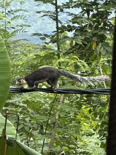
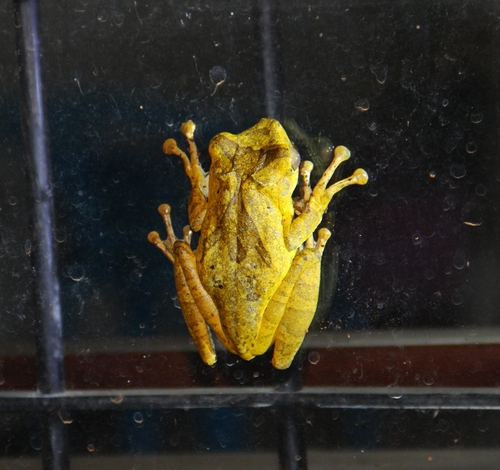
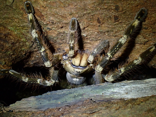
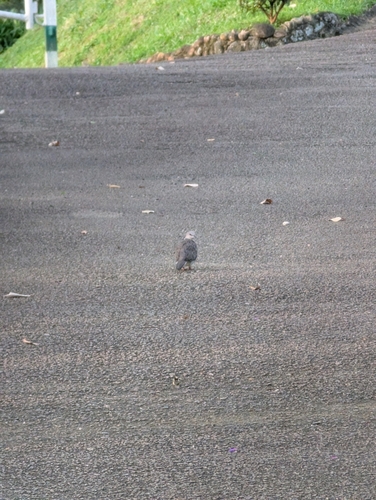
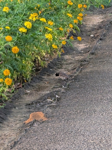
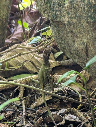
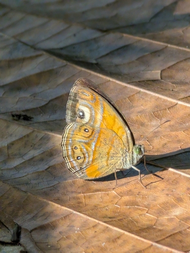
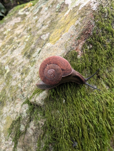
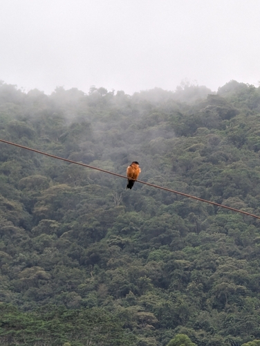
Research-grade observations from iNaturalist (within ~15 mi).
Events
Gallery
Sources
- • Wikipedia
- • Wikidata
- • iNaturalist
- • Open-Meteo / sunrise-sunset.org
- • Wikipedia Pageviews API
- • Open Library