Browse / Sri Lanka / Northern / Mullaitivu
Mullaitivu
Northerncity

Mullaitivu
Total population
100,000
Demographic figures from Department of Census and Statistics, Sri Lanka. Overview below cites Wikipedia and may reference a different year.
City facts
Overview
Mullaitivu is the main town of Mullaitivu District, situated on the north-eastern coast of Northern Province, Sri Lanka. A largely fishing settlement, the town in the early twentieth century grew as an anchoring harbour of the small sailing vessels transporting goods between Colombo and Jaffna. The town has a District Secretary's office, many other government institutions and schools located in and around the area.
Read more on WikipediaHistory & geography
History
During the Kandyan Wars, the British government house in Mullaitivu was attacked by forces of Pandara Vanniyan and Dissava of Nuwara Kalawiya who laid siege to the fort. Captain Drieberg with his force of Malays escaped from the fort in boats and reached Jaffna. During the Sri Lankan Civil War, Mullaitivu became an isolated base for the Sri Lankan armed forces. In a pitched battle the LTTE succeeded in overrunning the base in 1996. Following this the Sri Lankan armed forces withdrew from Mullaitivu which allowed the LTTE to gain control of the area. It was damaged by the 2004 Indian Ocean tsunami with a large loss of life. The Sri Lankan Army took control of the town on January 25, 2009, in the Battle of Mullaitivu in its offensive against the LTTE. Security Forces Headquarters – Mullaitivu was established on June 5, 2009 in the town.
Excerpted from the corresponding Wikipedia article (CC BY-SA).
Geography
Coordinates & boundaries from the US Census TIGER/Line shapefiles.
Climate
Air quality
Walkability
Amenities nearby
Wildlife & biodiversity
Earthquake history
Photos
Sights & places nearby
Notable people from here
People born within ~10 km, from Wikidata (CC0). Click any name for their Wikipedia article.
Nearby places in Northern
- Mulliyawalai3.9 mi away · pop. 15,000
- Kokkuthoduvai16.5 mi away · pop. 7,000
- Karunaaddukerni18.2 mi away
- Kanakarayankulam25.4 mi away · pop. 15,000
- Pannakandy27.4 mi away · pop. 5,000
- Kaddaikaadu29.8 mi away · pop. 8,000
- Pullaaveli31.1 mi away · pop. 7,000
- Aaliyavalai34.1 mi away · pop. 7,000
- Karanthai36 mi away · pop. 7,000
- Mahakachchikodiya36.7 mi away · pop. 5,000
- Soranapattu37.8 mi away · pop. 7,000
- Thampahamam39.1 mi away · pop. 6,000
Geography & sun
Elevation, sunrise/sunset and daylight from Open-Meteo. Solar climatology from NASA POWER.
Nearby airports
Public attention
Pageview totals from the Wikimedia Pageviews API.
Books about Mullaitivu
Search results from Open Library.
Recent natural events nearby
Ground air-quality sensors
Recently spotted species
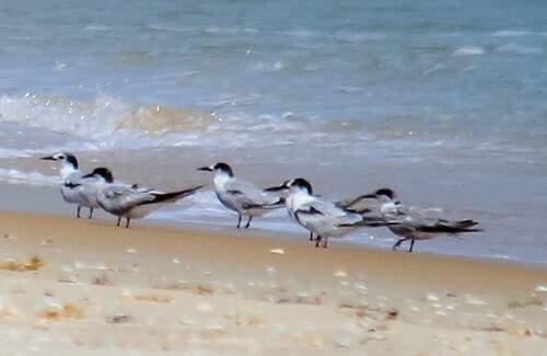
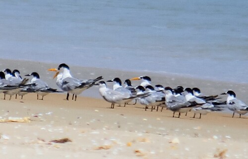


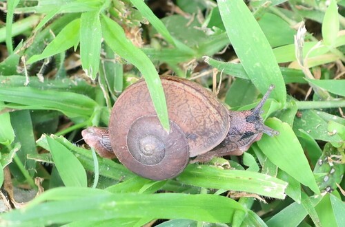
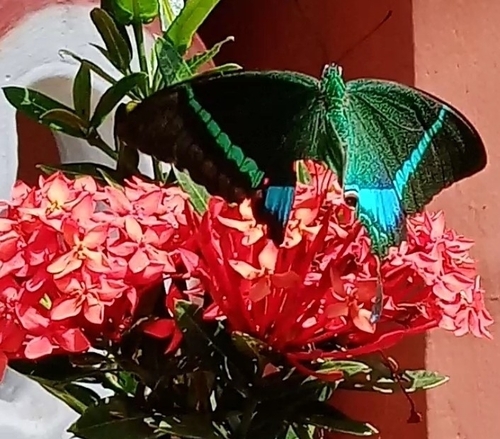
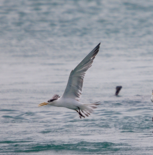
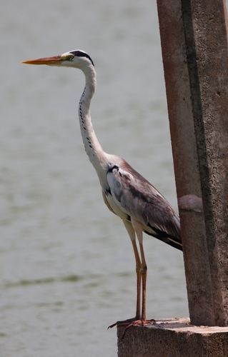
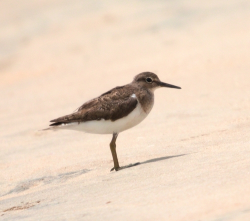
Research-grade observations from iNaturalist (within ~15 mi).
Events
Gallery
Sources
- • Wikipedia
- • Wikidata
- • iNaturalist
- • Open-Meteo / sunrise-sunset.org
- • Wikipedia Pageviews API
- • Open Library