Browse / Sri Lanka / Western / Padukka
Padukka
Westerntown

Padukka
Total population
5,000
Demographic figures from Department of Census and Statistics, Sri Lanka. Overview below cites Wikipedia and may reference a different year.
City facts
Overview
Padukka is a town in the district of Colombo in the Western Province of Sri Lanka. It has a population of roughly 8,000. Elevation 44feet.
Read more on WikipediaHistory & geography
History
The town of Padukka is thought to have been founded as a camp site by the forces of the Seethawaka Kingdom in the 16th century CE, on the banks of the Pusweli Oya (a major tributary of Kelani Ganga river), at a location where the Arukwathu Oya (stream) joins the Pusweli Oya. It was a well-protected site with marshland and hills surrounding the site. Legend says that the town got its name as it was under the "Naa" (Iron Wood) Trees in the town that the Portuguese Army rested after being defeated by the Army of King Seethawa Rajasinghe in the battle at the adjoining Hanwella Fort. It was said that the defeated Portuguese army rested there until they settled their minds. Thus in the Sinhala Language it was called "Paha Dukka" ("paha"= vanish; "dukka"= sadness), which became "Padukka" (පාදුක්ක) later. The famous "Naa" (Iron Wood) Trees are still present at the town's rest house premises. Padukka has also played a significant role in other wars against Portuguese occupants as an integral part of the Hewagam Korale which literally means the korale (an administrative division) that provided soldiers (hewa). According to the historical data, Sinhalese soldiers confronted the retreating Portuguese army, chased them down at the current Galagedera junction, and inflicted heavy casualties upon the Portuguese contingent. Names of satellite villages bear testimony to the rich historical legacy of Sithawake kingdom in current Padukka area. Angampitiya which is just 4 miles from the city centre is believed to be the place where king observed the kind of martial art known as Angam Poraya. Kelimadala is believed to be the play ground of Sithawake royalty. Bope was a thick jungle according to the book Kunsthanthinu hatana( Konstantine's war) written by Alagiyawanna Mukaweti of…
Excerpted from the corresponding Wikipedia article (CC BY-SA).
Geography
Coordinates & boundaries from the US Census TIGER/Line shapefiles.
Climate
Air quality
Walkability
Amenities nearby
Wildlife & biodiversity
Earthquake history
Photos
Sights & places nearby
Notable people from here


People born within ~10 km, from Wikidata (CC0). Click any name for their Wikipedia article.
Nearby places in Western
- Meepe1.2 mi away · pop. 15,000
- Kotigamgoda2.3 mi away · pop. 2,100
- Pahala Millawa South3.4 mi away · pop. 1,500
- Malagala3.6 mi away · pop. 5,000
- Ihala Millawa South4.5 mi away · pop. 2,900
- Lenagala4.5 mi away
- Hanwella4.5 mi away
- Panagoda5 mi away · pop. 10,000
- Brandigampala5.2 mi away · pop. 150
- Kaluaggala5.3 mi away · pop. 5,000
- Dedigamuwa5.5 mi away
- Thalagala5.7 mi away
Geography & sun
Nearby airports
Public attention
Books about this place
Recent natural events nearby
Ground air-quality sensors
Recently spotted species
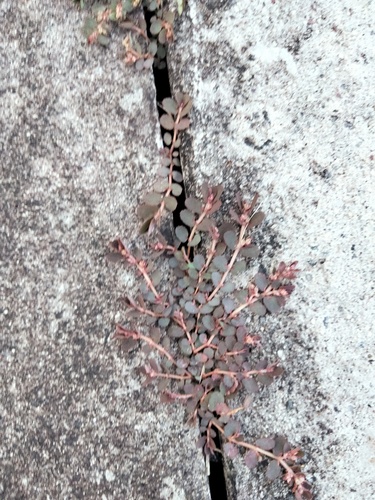
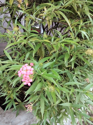
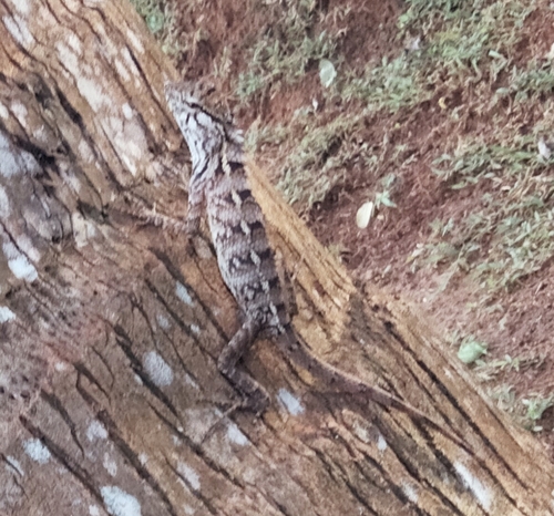
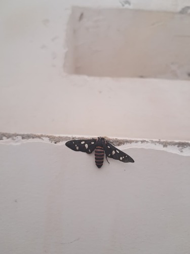
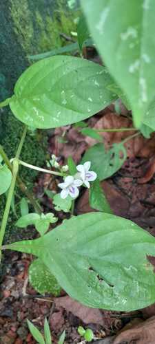
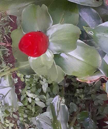
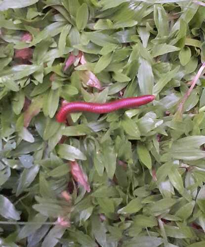
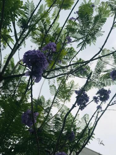
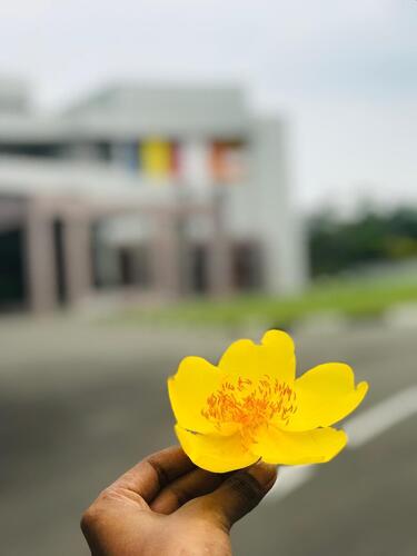
Research-grade observations from iNaturalist (within ~15 mi).
Events
Gallery
Sources
- • Wikipedia
- • Wikidata
- • iNaturalist