Browse / Sri Lanka / Eastern / Pottuvil
Pottuvil
Easterntown

Pottuvil
Total population
10,000
Demographic figures from Department of Census and Statistics, Sri Lanka. Overview below cites Wikipedia and may reference a different year.
City facts
Overview
Pottuvil is a town in the Ampara District of Sri Lanka, located in the Eastern Province on the eastern coast of the Island. It is situated 4 km (2.5 mi) north of the popular tourist destination Arugam Bay.
Read more on WikipediaHistory & geography
History
This town is mentioned in the Pali Chronicle known as the Cūḷavaṃsa, and the Vanni Raajaavalaiya. "Bodhivāla" is mentioned in the Cūḷavaṃsa (Chapter lvii, 54) in the context of the Principality of Ruhuna campaigns of Vijayabahu I. Archaeologists like Ellawala Medhananda Thero, and historians have discussed the place name while linguists recognize the change of "b" to "p" and the clear evolution of the modern name "Pothuvila" from Bodhivāla. "Vāla" means "water" (or also periphery) in compound usage as in "Aalavaala" (Sanskrit), a basin of water found at the root of a tree. "vāla" is also a type of jasmine, Pavonia odorata grown in temples. Pottuvil was affected by the 2004 Indian Ocean tsunami. The town's population in 2007 was 33,625.
Excerpted from the corresponding Wikipedia article (CC BY-SA).
Geography
Coordinates & boundaries from the US Census TIGER/Line shapefiles.
Climate
Air quality
Walkability
Amenities nearby
Wildlife & biodiversity
Earthquake history
Photos
Sights & places nearby
Notable people from here
People born within ~10 km, from Wikidata (CC0). Click any name for their Wikipedia article.
Geography & sun
Elevation, sunrise/sunset and daylight from Open-Meteo. Solar climatology from NASA POWER.
Nearby airports
Public attention
Pageview totals from the Wikimedia Pageviews API.
Books about this place
Recent natural events nearby
Ground air-quality sensors
Recently spotted species
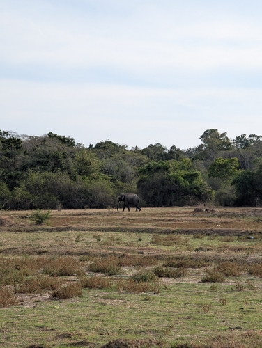
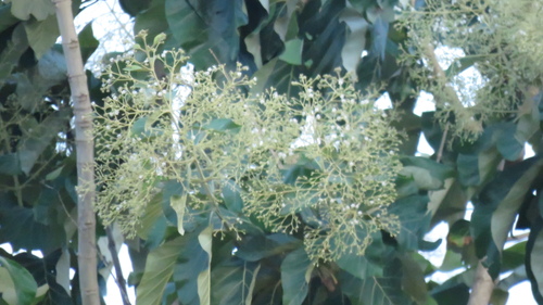
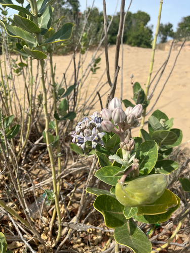
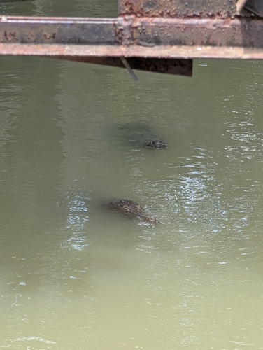
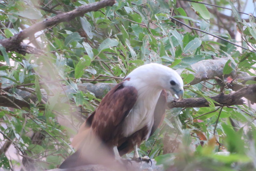
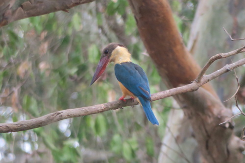
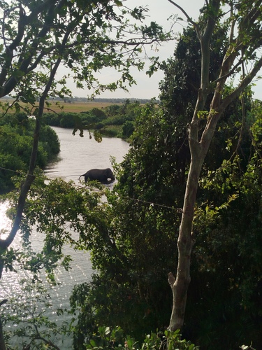
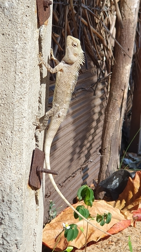
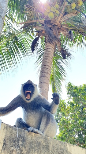
Research-grade observations from iNaturalist (within ~15 mi).
Events
Gallery
Sources
- • Wikipedia
- • Wikidata
- • iNaturalist
- • Open-Meteo / sunrise-sunset.org
- • Wikipedia Pageviews API