Browse / Sri Lanka / Western / Seeduwa
Seeduwa
Westerntown
Total population
15,000
Demographic figures from Department of Census and Statistics, Sri Lanka. Overview below cites Wikipedia and may reference a different year.
City facts
Facts from Wikidata (CC0).
Overview
Seeduwa is a suburb of Negombo, in Katana Divisional Secretariat, Western Province of Sri Lanka. It is located on the A03 road between Colombo and Negombo.
Read more on WikipediaHistory & geography
History
The first historical evidence of Seeduwa occurs in the era of King Bhuwanekabahu V, when this area was given to a chief named Simha. As Seeduwa is a village in the coastal area, which has been governed by the Portuguese, Dutch and English during their respective periods of control of the island, thus their influence is significant. Evidence from the Dutch period includes the observation tower at Amandoluwa. In 1890, a Roman Catholic church building was built in Seeduwa, for a congregation which had previously met in a small tent. With the development occurred after establishment of open economy, this area became very significant as a result of the location in between the Investment Promotion Zone in Katunayake, and Ekala Industrial Estate. Most of the employees started to board in Seeduwa. As a result, Seeduwa got more populated.
Geography
Seeduwa is bordered from the Dandugam Oya (Aththanugalu Oya) to the South and East, while from the Negombo Lagoon to the West. It is majorly composed of land, marshes and the mangroves. Dandugam Oya (Aththanagalu Oya), and Dickwela stream, which is a natural stream starting from the river exist as the water bodies running through the village. Marshy fields are found surrounding the canal and the river. Mangrove ecosystems are found in the estuary of Dandugam Oya (Aththanagalu Oya), and along the lining of the lagoon. Most of the water is taken from ground, as per availability of ground water.|source 2=World Weather Online (yearly)|date=May 2012}}
Excerpted from the corresponding Wikipedia article (CC BY-SA).
Geography
Coordinates & boundaries from the US Census TIGER/Line shapefiles.
Climate
Air quality
Walkability
Amenities nearby
Wildlife & biodiversity
Earthquake history
Photos
Sights & places nearby
Notable people from here


People born within ~10 km, from Wikidata (CC0). Click any name for their Wikipedia article.
Nearby places in Western
- Alawathupitiya1.5 mi away · pop. 5,000
- Kotugoda1.6 mi away
- Kuswala1.8 mi away
- Katunayake1.9 mi away · pop. 76,800
- Kapungoda2.7 mi away · pop. 5,000
- Kotugoda3 mi away
- Pamunugama3.3 mi away · pop. 5,000
- Pulluhena4.1 mi away · pop. 5,000
- Andiambalama4.2 mi away
- Makawita4.3 mi away · pop. 5,000
- Thelawala4.4 mi away · pop. 5,000
- Peellawatte4.4 mi away
Geography & sun
Elevation, sunrise/sunset and daylight from Open-Meteo. Solar climatology from NASA POWER.
Nearby airports
Public attention
Pageview totals from the Wikimedia Pageviews API.
Books about this place
Recent natural events nearby
Ground air-quality sensors
Recently spotted species
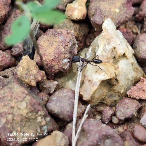
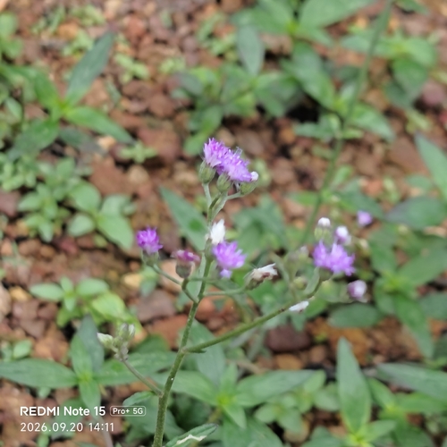
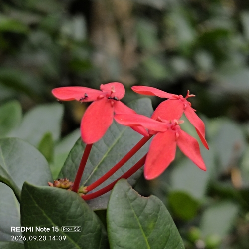
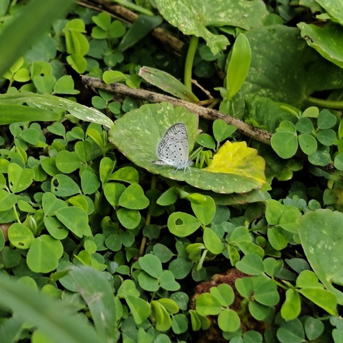
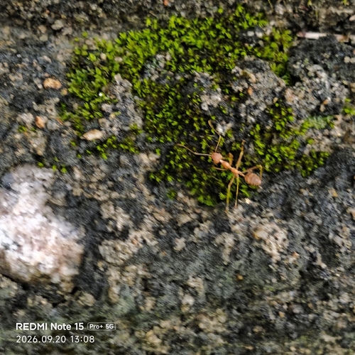
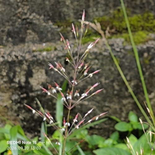
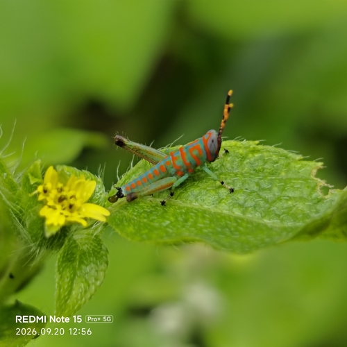
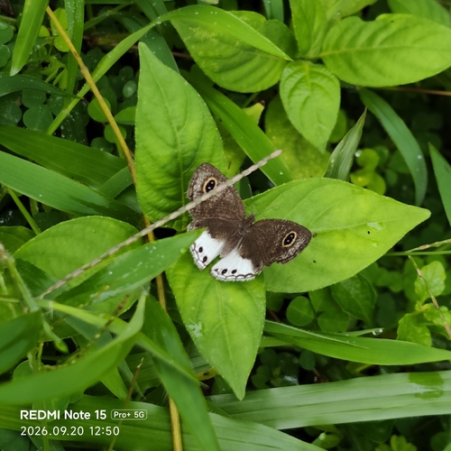
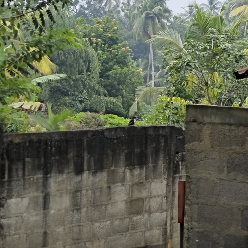
Research-grade observations from iNaturalist (within ~15 mi).
Events
Gallery
Sources
- • Wikipedia
- • Wikidata
- • iNaturalist
- • Open-Meteo / sunrise-sunset.org
- • Wikipedia Pageviews API