Browse / Sri Lanka / Northern / Valvettithurai
Valvettithurai
Northerntown

Valvettithurai
Total population
9,000
Demographic figures from Department of Census and Statistics, Sri Lanka. Overview below cites Wikipedia and may reference a different year.
City facts
Facts from Wikidata (CC0).
Overview
Valvettithurai, sometimes shortened as VVT or Valvai, is a coastal town of Jaffna District on the northeast coast of the Jaffna Peninsula in Northern Province, Sri Lanka governed by an Urban Council of the same name. Valvettithurai was historically known for its seafaring traditions and olden transnational shipping trade.
Read more on WikipediaHistory & geography
History
According to folk etymology, was the foundation of the village laid by a Maravar chieftain known as Valliathevan, who was given the land by the founder of the Jaffna Kingdom. The clans of the Maravars of southern Tamil Nadu and the Karaiyars of Valvetthithurai have long had coastal military alliances through trade and marriage. Both clans have long engaged in seatrade, with Valvettithurai being a prominent seaport in the northern Jaffna region. The coastal clans of Valvettithurai were involved in warfare. The coastal chiefs of Valvettithurai fought under the leadership of Migapulle Arachchi and fought on the side of Jaffna king Cankili II in the Portuguese conquest of the Jaffna kingdom. The population of the coastal town are predominantly Shaivites. The Kadalodiekal own the major temples such as the famous Vaitheeswaran Sivan kovil. The Kadalodikal (Tamil name for mariners) of Valvettithurai, the wealthier clan of the Karaiyars were specifically involved in the seatrade between Jaffna region and the Coromandel Coast, including up to the coasts of Myanmar. The Japanese occupation of Burma, hindered the seatrade of the Kadalodiekal. Their situation was deteriorated with the colonial independence of Sri Lanka, and many of the Kadalodiekal got engaged in large-scale smuggling between Sri Lanka and India. The town also produced the renowned brigantine known locally as Annapoorani Ammal. This native vessel known as a thoni, built with a blend of Jaffna and European tradition, sailed from Valvettithurai to Gloucester in Massachusetts of United States in 1937. Built in 1930 by native traditional shipwrighters for the purpose of serving as a cargo ship in the Indian rice trade, the vessel was bought by an American known as William C. Robinson. Robinson, changing the name of…
Geography
Valvettithuri is a coastal town bounded by the Indian Ocean to its north. It is situated at the tip of the northern province and is considered as a place of strategic importance due to the presence of the Palk Strait and its close proximity to the coast of the Indian state of Tamil Nadu. The temperature varies from 25 to 34 °C. The town experiences a moderate climate in September–January. It receives much of its rainfall during the North East monsoon between October and December. Being a coastal town, the weather is also influenced by cyclones and tropical currents.
Excerpted from the corresponding Wikipedia article (CC BY-SA).
Geography
Coordinates & boundaries from the US Census TIGER/Line shapefiles.
Climate
Air quality
Walkability
Amenities nearby
Wildlife & biodiversity
Most-observed species
- Brahminy KiteHaliastur indus (Boddaert, 1783) · Aves193
- House CrowCorvus splendens Vieillot, 1817 · Aves174
- Common MynaAcridotheres tristis (Linnaeus, 1766) · Aves173
- Asian Palm-SwiftCypsiurus balasiensis (J.E.Gray, 1829) · Aves157
- Glossy IbisPlegadis falcinellus (Linnaeus, 1766) · Aves156
- Eurasian Collared-DoveStreptopelia decaocto (Frivaldszky, 1838) · Aves147
- Great EgretArdea alba Linnaeus, 1758 · Aves144
- Red-wattled LapwingVanellus indicus (Boddaert, 1783) · Aves136
Citizen-science & research observations from the Global Biodiversity Information Facility (GBIF).
Earthquake history
Events from the USGS Earthquake Catalog (global) (FDSN Event Web Service).
Photos
Sights & places nearby
Notable people from here


People born within ~10 km, from Wikidata (CC0). Click any name for their Wikipedia article.
Nearby places in Northern
- Valveddy0.5 mi away · pop. 5,000
- Udupiddy1.3 mi away · pop. 7,000
- Inparsiddy2.9 mi away · pop. 5,000
- Thampasiddy3.8 mi away · pop. 5,000
- Kathiripaay4.3 mi away · pop. 7,000
- Puloly4.4 mi away · pop. 5,000
- Thunnalai4.4 mi away · pop. 5,000
- Point Pedro4.5 mi away · pop. 20,000
- Kaputhoo5.1 mi away · pop. 5,000
- Nellandai5.6 mi away · pop. 5,000
- Aavarangaal6 mi away · pop. 7,000
- Vayaavilaan6.7 mi away · pop. 7,000
Geography & sun
Elevation, sunrise/sunset and daylight from Open-Meteo. Solar climatology from NASA POWER.
Nearby airports
Public attention
Pageview totals from the Wikimedia Pageviews API.
Books about this place
Recent natural events nearby
Ground air-quality sensors
Recently spotted species
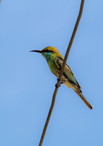
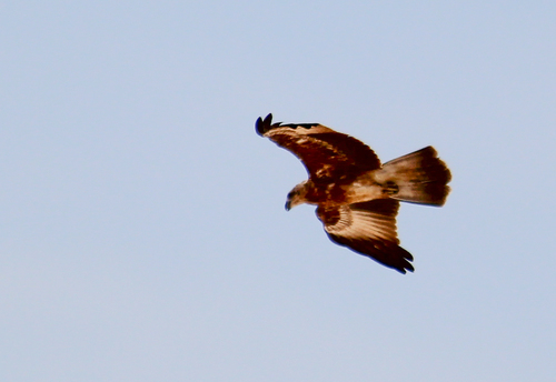
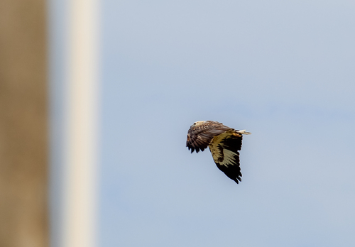
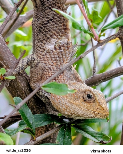


Research-grade observations from iNaturalist (within ~15 mi).
Events
Gallery
Sources
- • Wikipedia
- • Wikidata
- • USGS Earthquake Catalog (global feed)
- • GBIF (Global Biodiversity Information Facility)
- • iNaturalist
- • Open-Meteo / sunrise-sunset.org
- • Wikipedia Pageviews API