Browse / Liberia / Liberia / Buchanan
Buchanan
Liberiatown

Buchanan
Founded
1835
Demographic figures from LISGIS Liberia. Overview below cites Wikipedia and may reference a different year.
City facts
Sister cities
Facts from Wikidata (CC0).
Overview
Buchanan, also previously known as Grand Bassa on some maps, is the third largest city in Liberia, lying on Waterhouse Bay, part of the Atlantic Ocean. As of the 2008 census, Buchanan had a population of 34,270. Of this, 16,984 were male and 17,286 female.
Read more on WikipediaHistory & geography
History
In December 1832, the Port Cresson colony was founded in what is now Buchanan by black Quakers from the New York and Pennsylvania colonization societies. It was established as a settlement for black emigrants from the United States. The emigrants named the settlement in honor of Elliott Cresson, a Philadelphia merchant and Pennsylvania Colonization Society founder who funded their voyage to Liberia. On June 10, 1835, the Indigenous Bassa people destroyed the Americo-Liberian colony of Port Cresson, killing 10. A month later, a new colony called Bassa Cove was founded by black Quakers of the Young Men's Colonization Society of Pennsylvania. The Bassa Cove colony was incorporated into Liberia on April 1, 1839. Throughout much of the 1850s, Buchanan's population failed to grow, as deaths outnumbered births and only through immigration from the United States was the community able to avoid a substantial decline.
Excerpted from the corresponding Wikipedia article (CC BY-SA).
Geography
Coordinates & boundaries from the US Census TIGER/Line shapefiles.
Climate
Air quality
Walkability
Amenities nearby
Wildlife & biodiversity
Earthquake history
Photos
Sights & places nearby
Notable people from here


People born within ~10 km, from Wikidata (CC0). Click any name for their Wikipedia article.
Nearby places in Liberia
Geography & sun
Elevation, sunrise/sunset and daylight from Open-Meteo. Solar climatology from NASA POWER.
Nearby airports
Public attention
Pageview totals from the Wikimedia Pageviews API.
Books about Buchanan


Search results from Open Library.
Recent natural events nearby
Ground air-quality sensors
Recently spotted species
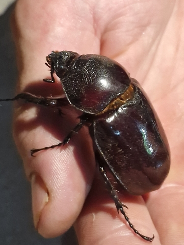
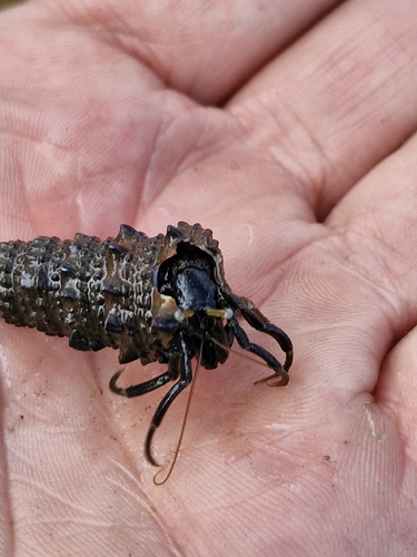
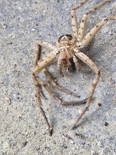
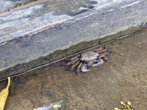
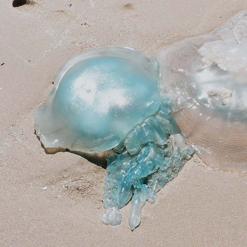
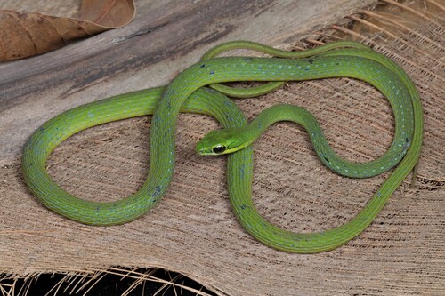
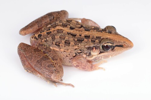
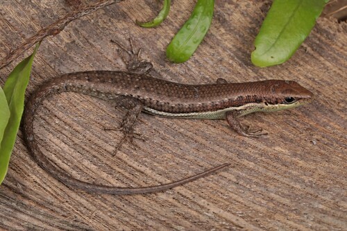
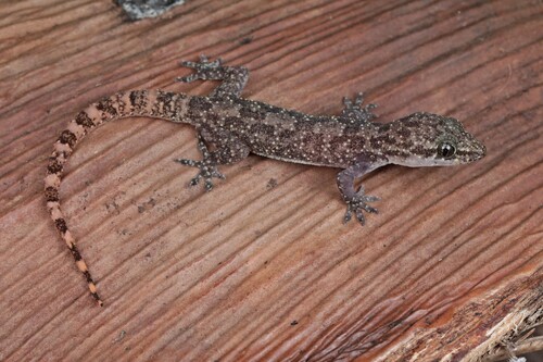
Research-grade observations from iNaturalist (within ~15 mi).
Events
Gallery
Sources
- • Wikipedia
- • Wikidata
- • iNaturalist
- • Open-Meteo / sunrise-sunset.org
- • Wikipedia Pageviews API
- • Open Library
- • Wikidata SPARQL (CC0) — population, area, elevation, inception, head of government, Commons image