Browse / Lithuania / Tauragė / Bitėnai
Bitėnai
Tauragėvillage

Bitėnai
Total population
76
Demographic figures from Statistics Lithuania. Overview below cites Wikipedia and may reference a different year.
City facts
Overview
Bitėnai is a small village in the Pagėgiai Municipality, in western Lithuania. According to the 2011 census, it had population of 76, a decline from 119 in 2001. It is situated along the Nemunas River near the Rambynas hill and is known as the location of the Martynas Jankus printing press. Jankus Museum and the visitors' center of the Rambynas Regional Park are located in the village.
Read more on WikipediaHistory & geography
History
Bitėnai was a village of peasants and fishermen. In 1454, King Casimir IV Jagiellon incorporated the region to the Kingdom of Poland upon the request of the anti-Teutonic Prussian Confederation. After the subsequent Thirteen Years' War (1454–1466) the village was a part of Poland as a fief held by the Teutonic Knights, and thus was located within the Polish–Lithuanian union, later elevated to the Polish–Lithuanian Commonwealth. From the 18th century, it was part of the Kingdom of Prussia, and from 1871 it was also part of Germany, within which it was administratively located in the province of East Prussia. The village was a frequent resting place for those traveling via the Neman River. It developed in two sections: the southern Šilėnai (along the Žiogis rivulet) and the larger more densely populated northern Užbičiai (along the Bitė rivulet). The village had a wind mill, an inn, a police station, a dairy. Its primary school is known from the 18th century. The village belonged to the manor of . The village gained prominence during the Lithuanian press ban when Martynas Jankus moved his printing press from Tilsit (now Sovetsk) to Bitėnai in 1892. The printing press operated until 1909 and published six short-lived Lithuanian-language periodicals and 104 books. Many of these publications were brought by the Lithuanian book smugglers to Lithuanian lands located in the Russian Empire since the Partitions of the Polish–Lithuanian Commonwealth. After the Klaipėda Revolt in 1923, Bitėnai became a part of independent Lithuania. In 1926, the village had 72 homesteads and its population reached 391 in 1941. Due to its proximity to the Rambynas hill, Bitėnai developed as a kind of resort and boasted three restaurants. It was occupied by Germany in 1939–1945. It was depopulated…
Excerpted from the corresponding Wikipedia article (CC BY-SA).
Geography
Coordinates & boundaries from the US Census TIGER/Line shapefiles.
Climate
Air quality
Walkability
Amenities nearby
Wildlife & biodiversity
Most-observed species
- MallardAnas platyrhynchos Linnaeus, 1758 · Aves106
- Common CraneGrus grus (Linnaeus, 1758) · Aves105
- Common Wood-PigeonColumba palumbus Linnaeus, 1758 · Aves105
- Common BuzzardButeo buteo (Linnaeus, 1758) · Aves103
- YellowhammerEmberiza citrinella Linnaeus, 1758 · Aves100
- Hooded CrowCorvus cornix Linnaeus, 1758 · Aves97
- Common RavenCorvus corax Linnaeus, 1758 · Aves96
- Eurasian SkylarkAlauda arvensis Linnaeus, 1758 · Aves92
Citizen-science & research observations from the Global Biodiversity Information Facility (GBIF).
Earthquake history
Events from the USGS Earthquake Catalog (global) (FDSN Event Web Service).
Photos
Sights & places nearby
Notable people from here


People born within ~10 km, from Wikidata (CC0). Click any name for their Wikipedia article.
Nearby places in Tauragė
- Pempynė1.9 mi away · pop. 21
- Kerkutviečiai3.3 mi away · pop. 49
- Šereitlaukis3.3 mi away · pop. 36
- Opstainys3.6 mi away · pop. 54
- Vilkyškiai4.3 mi away · pop. 666
- Mikytai4.9 mi away · pop. 26
- Panemunė5.3 mi away · pop. 274
- Gilandviršiai6 mi away · pop. 18
- Pagėgiai6.6 mi away · pop. 1,941
- Gudai7 mi away · pop. 103
- Kreivėnai7.2 mi away · pop. 4
- Griežpelkiai II7.5 mi away · pop. 55
Geography & sun
Elevation, sunrise/sunset and daylight from Open-Meteo. Solar climatology from NASA POWER.
Nearby airports
Public attention
Pageview totals from the Wikimedia Pageviews API.
Books about this place
Recent natural events nearby
Ground air-quality sensors
Recently spotted species
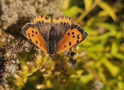
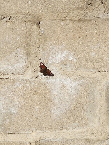
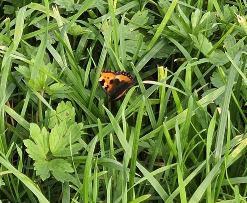
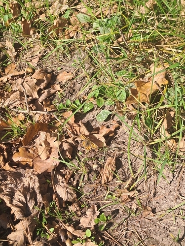
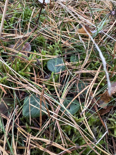
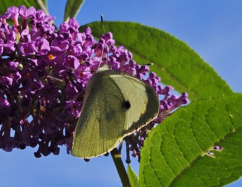
Research-grade observations from iNaturalist (within ~15 mi).
Events
Gallery
Sources
- • Wikipedia
- • Wikidata
- • USGS Earthquake Catalog (global feed)
- • GBIF (Global Biodiversity Information Facility)
- • iNaturalist
- • Open-Meteo / sunrise-sunset.org
- • Wikipedia Pageviews API