Browse / Lithuania / Utena / Giedraičiai
Giedraičiai
Utenatown

Giedraičiai
Total population
684
Air quality index
Demographic figures from Statistics Lithuania. Overview below cites Wikipedia and may reference a different year.
City facts
Facts from Wikidata (CC0).
Overview
Giedraičiai is a town in Molėtai district municipality, Lithuania with about 700 residents. It is located some 45 km north of Vilnius, capital of Lithuania, on the banks of Lake Kiementas. It is the capital of an elderate. The town, according to a local legend founded by Duke Giedrius, is first mentioned in written sources in 1338 when Grand Duke Gediminas signed a peace treaty with the Teutonic Knights. For a long time it was the centre of Giedraitis family estate.
Read more on WikipediaHistory & geography
History
It is known that since 1777, the town had a parish school. A hundred years later it was reorganized to a grammar, and later to middle school. Today, the high school is named after Antanas Jaroševičius, a painter who in 1912 published an album of Lithuanian crosses. The school building houses a small museum about local history. In 1410, Church of St. Bartholomew the Apostle was built. It was rebuilt in 1809 in the Classicism style by Bishop of Samogitia Juozapas Arnulfas Giedraitis, whose princely family originated from Giedraičiai. In 1838, after his death and according to his wishes, Giedraitis' heart was inlaid into one of the walls. In the mid-19th century a new bell tower was built. It is interesting because of unusual design: stone walls are decorated with red bricks. In 1920 the town witnessed fights between Lithuanians and Poles led by Lucjan Żeligowski. After the Polish-Lithuanian War, Żeligowski staged a fake rebellion by Polish army units and captured Vilnius on October 9, 1920. His troops were advancing further, but were stopped near Giedraičiai and Širvintos on November 17–21. League of Nations interfered and the fighting stopped, but the disputes over the Vilnius region were not resolved. Today, the town commemorates the Lithuanian victims with a monument which has survived the Soviet regime. On ornament from the monument, a sword and a trumpet, is used in the coat of arms of the town. During the occupation of Lithuania by Germany and its rule under German military, on July 7, 1941, and at the beginning of August 1941, a death squad of Lithuanian collaborators, ordered by German military administration, murdered Jews of the town in mass executions.
Excerpted from the corresponding Wikipedia article (CC BY-SA).
Geography
Coordinates & boundaries from the US Census TIGER/Line shapefiles.
Climate
Air quality
Current readings from Open-Meteo Air Quality API (Copernicus CAMS European reanalysis).
Walkability
Amenities nearby
Wildlife & biodiversity
Most-observed species
- White StorkCiconia ciconia (Linnaeus, 1758) · Aves45
- YellowhammerEmberiza citrinella Linnaeus, 1758 · Aves39
- Common ChaffinchFringilla coelebs Linnaeus, 1758 · Aves37
- Common CraneGrus grus (Linnaeus, 1758) · Aves34
- Common RavenCorvus corax Linnaeus, 1758 · Aves34
- Common BuzzardButeo buteo (Linnaeus, 1758) · Aves32
- Ceratopogon punctatus Meigen, 1804Ceratopogon punctatus Meigen, 1804 · Insecta31
- Hammered Shield LichenParmelia sulcata Taylor · Lecanoromycetes31
Citizen-science & research observations from the Global Biodiversity Information Facility (GBIF).
Earthquake history
Events from the USGS Earthquake Catalog (global) (FDSN Event Web Service).
Photos
Sights & places nearby
Notable people from here
Nearby places in Utena
- Juozapava2.7 mi away
- Verbylai3.4 mi away
- Piktaraistis4.7 mi away · pop. 8
- Drąsiai5.1 mi away · pop. 27
- Vilkaraisčiai5.4 mi away · pop. 7
- Bijutiškis6.2 mi away · pop. 154
- Dunduliai6.4 mi away · pop. 8
- Žalktynė6.7 mi away · pop. 8
- Šešuoliai6.8 mi away · pop. 5
- Stalėriškiai7.3 mi away · pop. 12
- Kmeliauka7.4 mi away · pop. 1
- Varlynė8.5 mi away · pop. 4
Geography & sun
Elevation, sunrise/sunset and daylight from Open-Meteo. Solar climatology from NASA POWER.
Nearby airports
Public attention
Pageview totals from the Wikimedia Pageviews API.
Books about this place
Recent natural events nearby
Ground air-quality sensors
Recently spotted species
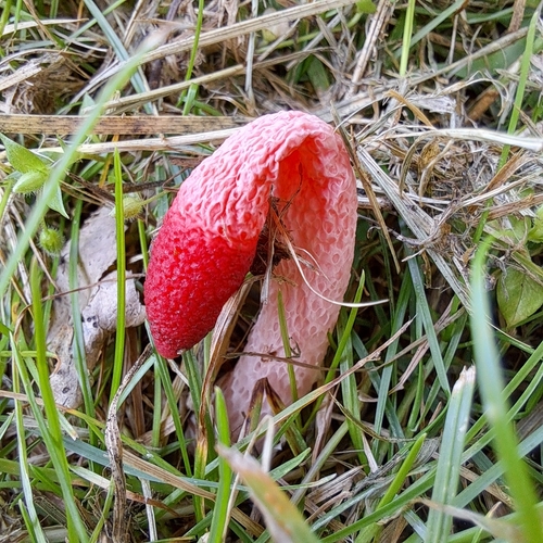
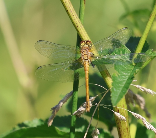
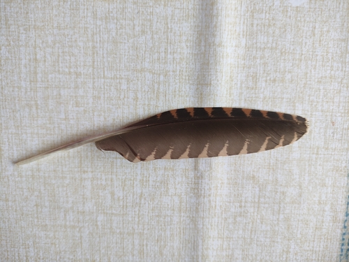
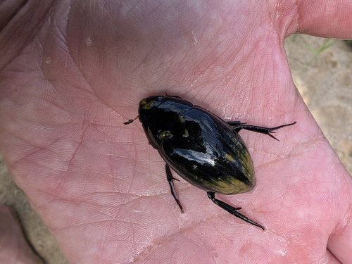
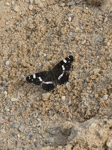
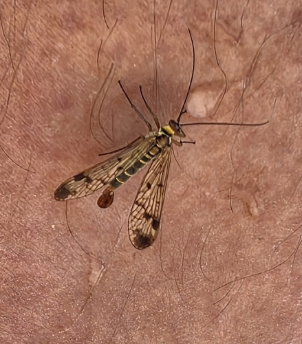
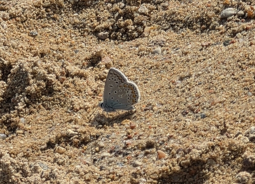
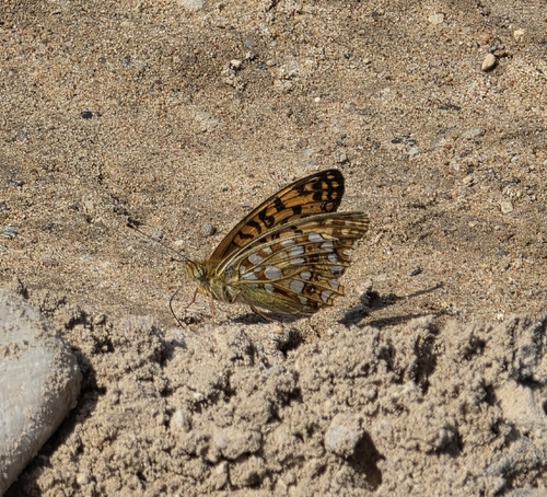
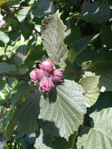
Research-grade observations from iNaturalist (within ~15 mi).
Events
Gallery
Sources
- • Wikipedia
- • Wikidata
- • Open-Meteo Air Quality (CAMS)
- • USGS Earthquake Catalog (global feed)
- • GBIF (Global Biodiversity Information Facility)
- • iNaturalist
- • Open-Meteo / sunrise-sunset.org
- • Wikipedia Pageviews API