Browse / Lithuania / Kaunas / Jonava
Jonava
Kaunastown

Jonava
Total population
30,650
Founded
1740
Demographic figures from Statistics Lithuania. Overview below cites Wikipedia and may reference a different year.
City facts
Facts from Wikidata (CC0).
Overview
Jonava is the ninth largest city in Lithuania with a population of c. 30,000. It is located in Kaunas County in central Lithuania, 30 km (19 mi) north east of Kaunas, the second-largest city in Lithuania. It is served by Kaunas International Airport. Achema, the largest fertilizer factory in the Baltic states, is located nearby the city.
Read more on WikipediaHistory & geography
History
Jonava was officially established as a city in the 18th century during the times of the Polish–Lithuanian Commonwealth. In 1750, the first wooden church was built in Jonava. In 1778, a beer brewery was operating in the town. Around 1812, Napoleon and his army invaded the town and its surrounding villages. In 1923, Jonava was officially recognised as a city-status settlement and in 1950 it became the centre of the municipality. The city had a large Jewish population before World War II. In 1893, 92% of the population was Jewish and in 1941 it was 80%. In 1932 there were 250 shops owned by Jewish families, a Jewish bank, 7 synagogues and a Jewish school. During World War II Jonava was attacked by Nazi Germany. A Christian church and five Jewish synagogues were destroyed. The Jews of the city were killed in two massacres, in August and September 1941. A total of 2,108 people were executed by an Einsatzgruppen of Germans and Lithuanian Self-Defence Units. 200 remaining Jews were kept prisoners at the Kaunas ghetto. After the war, the city built the largest fertilizer factory in the Baltic states and Jonava become one of the 4 biggest industrial cities in Lithuania.
Excerpted from the corresponding Wikipedia article (CC BY-SA).
Geography
Coordinates & boundaries from the US Census TIGER/Line shapefiles.
Climate
Air quality
Walkability
Amenities nearby
Wildlife & biodiversity
Earthquake history
Photos
Sights & places nearby
Notable people from here


People born within ~10 km, from Wikidata (CC0). Click any name for their Wikipedia article.
Nearby places in Kaunas
- Laukagaliai1 mi away · pop. 13
- Melnytėlė1.5 mi away · pop. 4
- Šveicarija1.9 mi away · pop. 812
- Gudžioniai2.5 mi away · pop. 39
- Ragožiai2.5 mi away · pop. 302
- Albertava2.6 mi away · pop. 17
- Pušynėlis2.6 mi away · pop. 12
- Paryžius2.7 mi away · pop. 7
- Varpėnai2.9 mi away
- Konceptas3.2 mi away · pop. 8
- Jaugeliškiai3.5 mi away · pop. 63
- Lokėnėliai3.6 mi away · pop. 14
Geography & sun
Elevation, sunrise/sunset and daylight from Open-Meteo. Solar climatology from NASA POWER.
Nearby airports
Public attention
Pageview totals from the Wikimedia Pageviews API.
Books about Jonava

Search results from Open Library.
Recent natural events nearby
Ground air-quality sensors
Recently spotted species
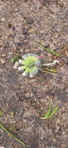
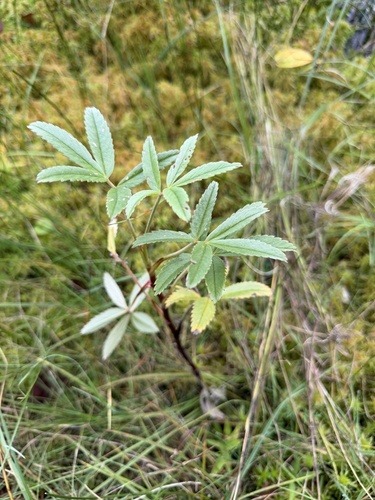
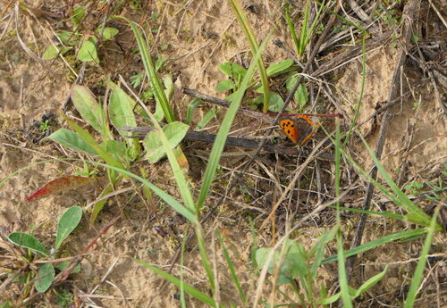
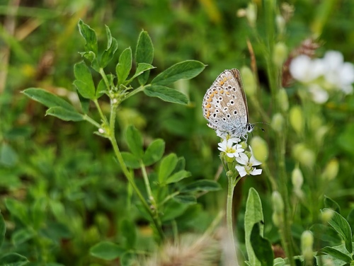
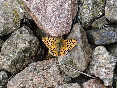
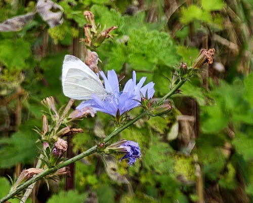
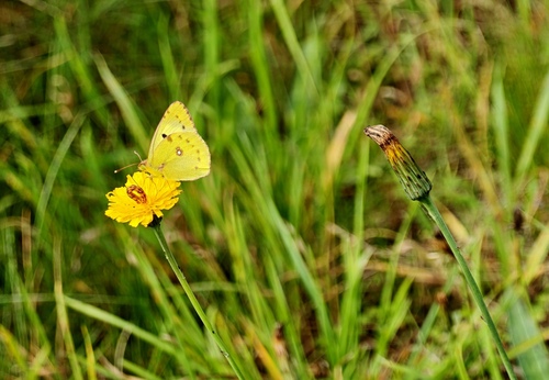
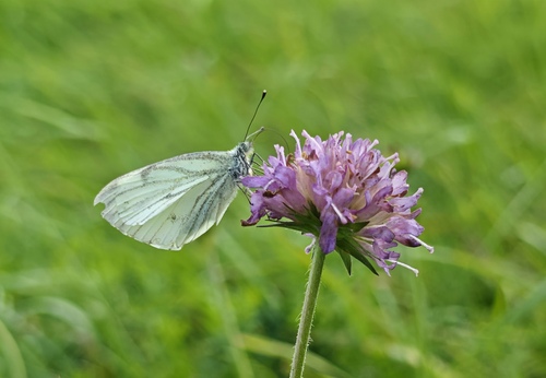
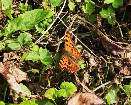
Research-grade observations from iNaturalist (within ~15 mi).
Events
Notable, recurring, and historical events associated with Jonava, sourced from Wikidata.
- 2023 FAI F3P World Championshipsplanned event
Source: Wikidata (CC0).
Gallery
Sources
- • Wikipedia
- • Wikidata
- • iNaturalist
- • Open-Meteo / sunrise-sunset.org
- • Wikipedia Pageviews API
- • Open Library