Browse / Lithuania / Vilnius / Kaltanėnai
Kaltanėnai
Vilniustown

Kaltanėnai
Total population
204
Demographic figures from Statistics Lithuania. Overview below cites Wikipedia and may reference a different year.
City facts
Facts from Wikidata (CC0).
Overview
Kaltanėnai is a town in Švenčionys district municipality, Vilnius County, east Lithuania. According to the Lithuanian census of 2021, the town has a population of 190 people. The town has a Catholic church.
Read more on WikipediaHistory & geography
History
In July 1941, an Einsatzgruppen of Lithuanian collaborators murdered the local Jewish population in several mass executions.
Excerpted from the corresponding Wikipedia article (CC BY-SA).
Geography
Coordinates & boundaries from the US Census TIGER/Line shapefiles.
Climate
Air quality
Walkability
Amenities nearby
Wildlife & biodiversity
Most-observed species
- Creeping Lady's-tresses [Goodyera repens]Goodyera repens (L.) R.Br. · Liliopsida147
- Great TitParus major Linnaeus, 1758 · Aves136
- Dark-red HelleborineEpipactis atrorubens (Hoffm.) Besser · Liliopsida125
- Great Spotted WoodpeckerDendrocopos major (Linnaeus, 1758) · Aves118
- Vagrant DarterSympetrum vulgatum (Linnaeus, 1758) · Insecta116
- Common CraneGrus grus (Linnaeus, 1758) · Aves111
- Azure DamselflyCoenagrion puella (Linnaeus, 1758) · Insecta105
- Dark WhitefaceLeucorrhinia albifrons (Burmeister, 1839) · Insecta105
Citizen-science & research observations from the Global Biodiversity Information Facility (GBIF).
Earthquake history
Events from the USGS Earthquake Catalog (global) (FDSN Event Web Service).
Photos
Sights & places nearby
Notable people from here


People born within ~10 km, from Wikidata (CC0). Click any name for their Wikipedia article.
Nearby places in Vilnius
- Beržija1 mi away · pop. 8
- Kretuonys2.8 mi away · pop. 16
- Vitalina2.9 mi away · pop. 1
- Lukna3.1 mi away
- Pakretuonė3.3 mi away
- Dėlynė3.4 mi away · pop. 4
- Terpežys3.9 mi away · pop. 2
- Murmos4 mi away · pop. 20
- Rušiškės4.3 mi away
- Veikūnai4.7 mi away · pop. 20
- Nauji Šaminiai4.9 mi away · pop. 6
- Juodynas5.5 mi away · pop. 2
Geography & sun
Elevation, sunrise/sunset and daylight from Open-Meteo. Solar climatology from NASA POWER.
Nearby airports
Public attention
Pageview totals from the Wikimedia Pageviews API.
Books about this place
Recent natural events nearby
Ground air-quality sensors
Recently spotted species
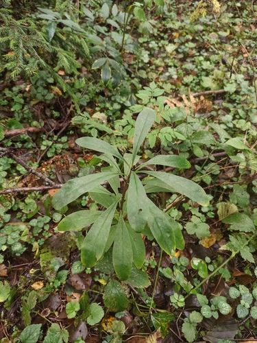
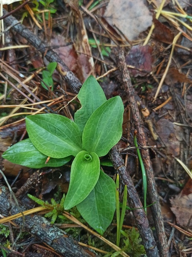
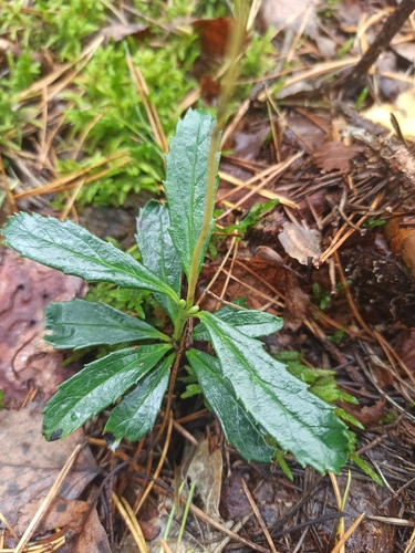
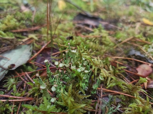
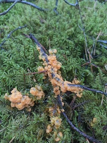
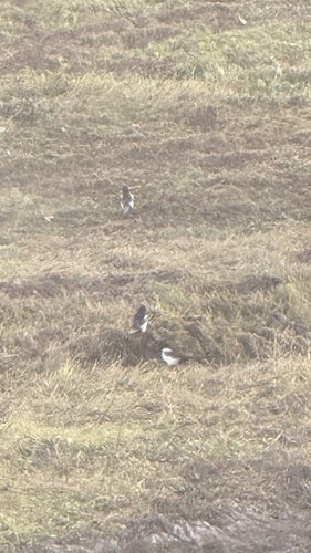
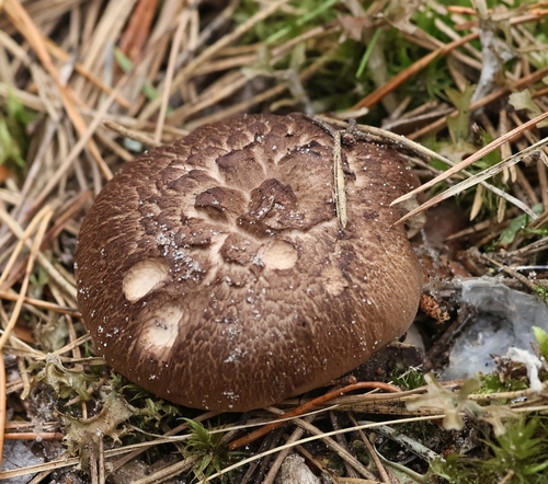
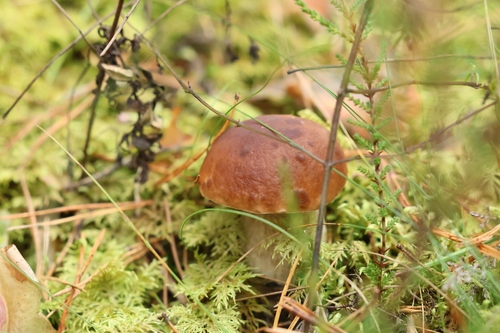
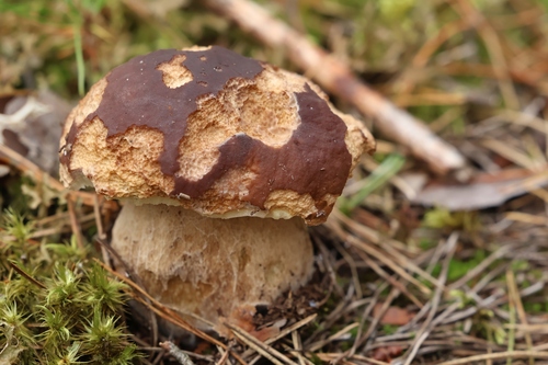
Research-grade observations from iNaturalist (within ~15 mi).
Events
Gallery
Sources
- • Wikipedia
- • Wikidata
- • USGS Earthquake Catalog (global feed)
- • GBIF (Global Biodiversity Information Facility)
- • iNaturalist
- • Open-Meteo / sunrise-sunset.org
- • Wikipedia Pageviews API