Browse / Lithuania / Utena / Kavarskas
Kavarskas
Utenatown

Kavarskas
Total population
666
Demographic figures from Statistics Lithuania. Overview below cites Wikipedia and may reference a different year.
City facts
Facts from Wikidata (CC0).
Overview
Kavarskas, with a population of only 700, is the fourth smallest city in Lithuania. The Šventoji River flows through the town. In 1956 near Kavarskas a water lifting station was built and part of the Šventoji River's water was channeled to the Nevėžis River. Nowadays there is a water-power plant operating there.
Read more on WikipediaHistory & geography
History
Where the modern town is today located, in the 15th century there was the Mažieji Pienionys (Little Pienionys) estate. At the end of the 15th century, the Grand Duke of Lithuania Alexander Jagiellon transferred the estate to Stanislovas Kovarskis, the treasurer of the king. As he had no successors, the estate was inherited by his brother, Andrius Kovarskis, the canon of the Vilnius Cathedral. Thus, the name of the Little Pienionys estate was changed to Kavarskas. In written sources, Kavarskas was first mentioned in 1538. In that year, a church was built. In the 16th century, Kavarskas and the surrounding area belonged to noble families of Astikai, later – Ogiński (Oginskiai), Tyszkiewicz (Tiškevičiai), and Siesickiai. The Šventoji river that runs near the town was used for drinking water, crops, and to power a flour mill. The National Resurrection Cross was built in Kaltinėnai (Šilalė district). During the summer of 1941, the Jewish population was murdered in a mass execution perpetrated by German soldiers and three Lithuanian white armbanders. An 1892 taxpayers' list shows Kavarskas population to be 1,505 people. A 1892-1894 Lithuania Revision List included 844 names. This represents approximately 55% of the town's population in 1897, when 1546 persons were counted. In 1956, Kavarskas was granted town rights. In 2021, the town had 2,361 residents.
Excerpted from the corresponding Wikipedia article (CC BY-SA).
Geography
Coordinates & boundaries from the US Census TIGER/Line shapefiles.
Climate
Air quality
Walkability
Amenities nearby
Wildlife & biodiversity
Earthquake history
Events from the USGS Earthquake Catalog (global) (FDSN Event Web Service).
Photos
Sights & places nearby
Notable people from here
Geography & sun
Elevation, sunrise/sunset and daylight from Open-Meteo. Solar climatology from NASA POWER.
Nearby airports
Public attention
Pageview totals from the Wikimedia Pageviews API.
Books about this place
Recent natural events nearby
Ground air-quality sensors
Recently spotted species
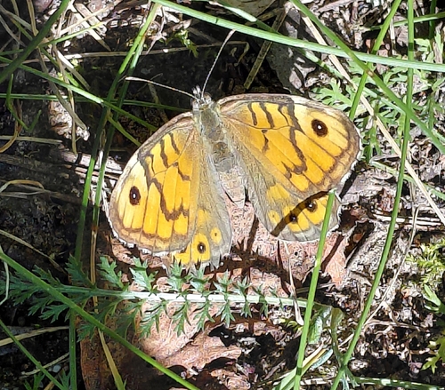
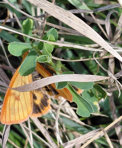
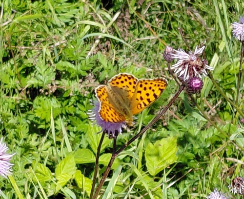
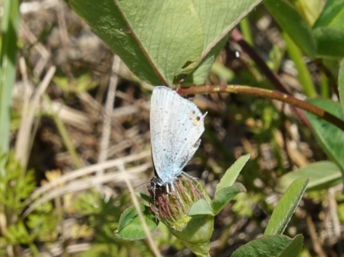
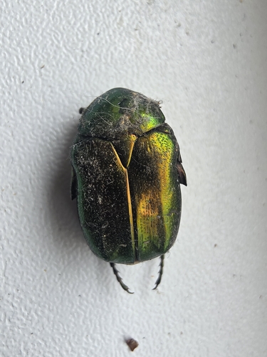
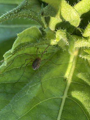
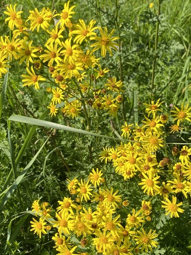
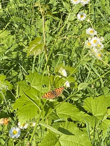
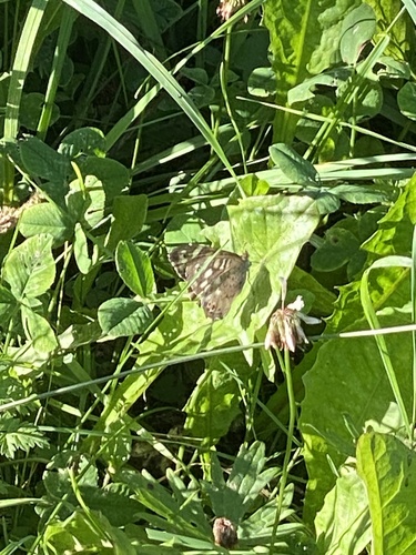
Research-grade observations from iNaturalist (within ~15 mi).
Events
Gallery
Sources
- • Wikipedia
- • Wikidata
- • USGS Earthquake Catalog (global feed)
- • iNaturalist
- • Open-Meteo / sunrise-sunset.org
- • Wikipedia Pageviews API