Browse / Lithuania / Kaunas / Kėdainiai
Kėdainiai
Kaunastown

Kėdainiai
Total population
26,648
Founded
1590
Demographic figures from Statistics Lithuania. Overview below cites Wikipedia and may reference a different year.
City facts
Facts from Wikidata (CC0).
Overview
Kėdainiai is a city in Lithuania. It is located on the banks of the Nevėžis river 45 km (28 mi) north of Kaunas, Lithuania's second largest city. Its population as of 2022 was 23,051. The Kėdainiai Old Town dates to the 17th century and many of its historical buildings were preserved.
Read more on WikipediaHistory & geography
History
One of the oldest settlements in the country, Kėdainiai was first mentioned in the 1372 Livonian Chronicle of Hermann de Wartberge, and became a city in 1590. The area was the site of several battles during "The Deluge", the 17th century war between the Polish–Lithuanian Commonwealth and Sweden. In 1655 a short-lived treaty with Sweden, the Union of Kėdainiai, was signed by two members of Radziwiłł family in their Kėdainiai castle. While little remains of the Radziwiłł castle, the crypt of the Calvinist church (1631) houses the family mausoleum, including the tombs of Krzysztof Radziwiłł and his son Janusz. Scottish Protestants arrived in the late 16th and 17th centuries, encouraged by the conversion of Anna Radziwill; the community exerted considerable influence in the city and persisted until the mid-19th century. The grouping of the buildings around the town square still include the imposing homes of merchants known as the "Scottish Houses". These include; the George Anderson House, the John Arnot House, the George Bennet House, the James Gray House, the Steel Property, and the surviving basement of the Alexander Gordon house. A local custom called on all visitors to bring a stone to be used in the town's construction. The 1st Lithuanian National Cavalry Brigade was stationed in the town in 1790. In 1940, the town was invaded and occupied by the Soviet Union. During Operation Barbarossa, Kėdainiai was occupied by the German Army in the summer of 1941. On August 28, 1941, the entire Jewish community of Kėdainiai, a community which had inhabited the area for 500 years, were killed under the direction of German Special Police Battalions, with the aid of the local Lithuanian population. The Jewish population prior to the Holocaust was 3000. During the Cold War, it…
Excerpted from the corresponding Wikipedia article (CC BY-SA).
Geography
Coordinates & boundaries from the US Census TIGER/Line shapefiles.
Climate
Air quality
Walkability
Amenities nearby
Wildlife & biodiversity
Earthquake history
Photos
Sights & places nearby
Notable people from here


People born within ~10 km, from Wikidata (CC0). Click any name for their Wikipedia article.
Nearby places in Kaunas
- Tubiai1.3 mi away · pop. 19
- Pasmilgys1.4 mi away · pop. 8
- Varėnai1.4 mi away · pop. 5
- Novočėbė1.7 mi away · pop. 1
- Bartkūniškiai2.3 mi away · pop. 85
- Pelėdnagiai2.7 mi away · pop. 1,016
- Dvarčininkai3 mi away · pop. 5
- Stasiūnai3.5 mi away · pop. 19
- Bubliai4.1 mi away · pop. 29
- Pašiliai4.2 mi away · pop. 197
- Tiskūnai4.4 mi away · pop. 427
- Melagiai5 mi away
Geography & sun
Elevation, sunrise/sunset and daylight from Open-Meteo. Solar climatology from NASA POWER.
Nearby airports
Public attention
Pageview totals from the Wikimedia Pageviews API.
Books about Kėdainiai
Search results from Open Library.
Recent natural events nearby
Ground air-quality sensors
Recently spotted species
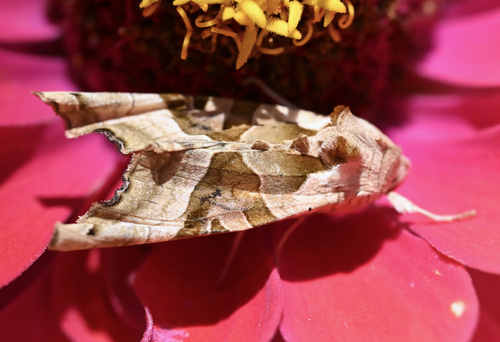
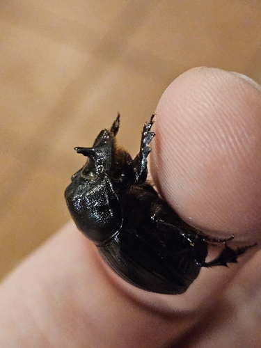
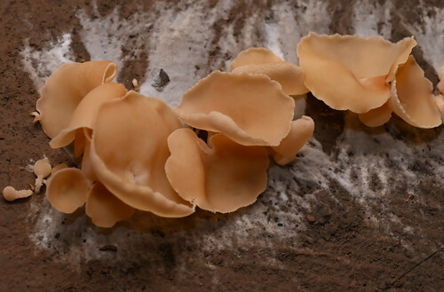
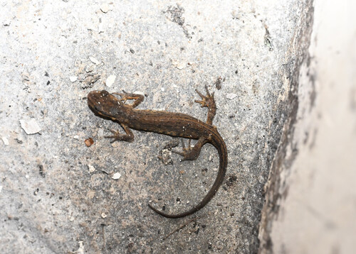

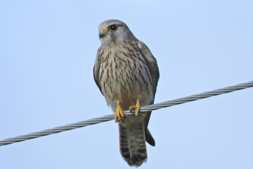
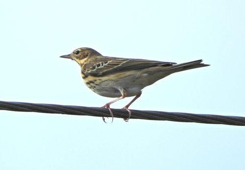
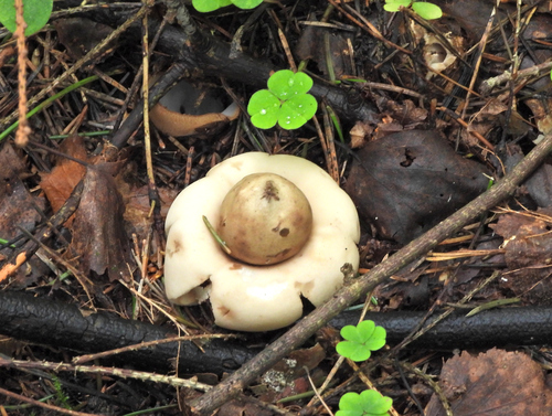

Research-grade observations from iNaturalist (within ~15 mi).
Events
Gallery
Sources
- • Wikipedia
- • Wikidata
- • iNaturalist
- • Open-Meteo / sunrise-sunset.org
- • Wikipedia Pageviews API
- • Open Library