Browse / Lithuania / Kaunas / Krakės
Krakės
Kaunastown

Krakės
Total population
841
Demographic figures from Statistics Lithuania. Overview below cites Wikipedia and may reference a different year.
City facts
Facts from Wikidata (CC0).
Overview
Krakės is a small town in Kėdainiai district, central Lithuania. It is located on the Smilgaitis River. In the town, there are the Catholic church of St. Matthew the Evangelist, Mikalojus Katkus gymnasium, library, medicine station, St. Catherine women convent, Krakės Agriculture Cooperative with former culture center, swimming pool and shop. There is the Vytautas Ulevičius museum of wooden sculptures.
Read more on WikipediaHistory & geography
History
The first mention of Krakės is from the 14th century. The Krakės Manor was a property of Samogitian bishops between 1421 and 1842. The first church of Krakės was built in the 15th century. Krakės is mentioned as a town in 1579. A women's monastery of St. Catherine Order was established in Krakės in 1615 and ran till 1945 (the wooden monastery burnt at that time), then reestablished in 1997. A market privilege was granted to Krakės in 1790. During 1863, Krakės was an important centre of the January uprising, on 28 April there was a battle against the Russian imperial army. In 1863 and 1914 Krakės was devastated by fires. The members of the Einsatzgruppen who committed this crime were Germans from Rollkommando Hamann and Lithuanians collaborators. During the Soviet era Krakės was a center of kolkhoz and selsovet. Krakės kolkhoz was one of the leading ones in all Lithuanian SSR.
Excerpted from the corresponding Wikipedia article (CC BY-SA).
Geography
Coordinates & boundaries from the US Census TIGER/Line shapefiles.
Climate
Air quality
Walkability
Amenities nearby
Wildlife & biodiversity
Most-observed species
- Common ChaffinchFringilla coelebs Linnaeus, 1758 · Aves37
- Great TitParus major Linnaeus, 1758 · Aves37
- European StarlingSturnus vulgaris Linnaeus, 1758 · Aves26
- Eurasian BlackbirdTurdus merula Linnaeus, 1758 · Aves25
- Common RavenCorvus corax Linnaeus, 1758 · Aves23
- Common Wood-PigeonColumba palumbus Linnaeus, 1758 · Aves19
- MallardAnas platyrhynchos Linnaeus, 1758 · Aves19
- White StorkCiconia ciconia (Linnaeus, 1758) · Aves18
Citizen-science & research observations from the Global Biodiversity Information Facility (GBIF).
Earthquake history
Events from the USGS Earthquake Catalog (global) (FDSN Event Web Service).
Photos
Sights & places nearby
Notable people from here
Nearby places in Kaunas
- Mantviliškis4.1 mi away · pop. 205
- Ambraziūnai4.5 mi away · pop. 15
- Vainotiškiai4.5 mi away · pop. 909
- Černovka5 mi away
- Deveikiškėliai5.2 mi away · pop. 2
- Ažytėnai5.4 mi away · pop. 239
- Šmotiškiai5.7 mi away · pop. 47
- Šmotiškėliai5.8 mi away
- Degimai6.1 mi away
- Jaunakaimis6.3 mi away
- Ąžuolaičiai6.6 mi away · pop. 137
- Draustiniai6.7 mi away
Geography & sun
Elevation, sunrise/sunset and daylight from Open-Meteo. Solar climatology from NASA POWER.
Nearby airports
Public attention
Pageview totals from the Wikimedia Pageviews API.
Books about this place
Recent natural events nearby
Ground air-quality sensors
Recently spotted species
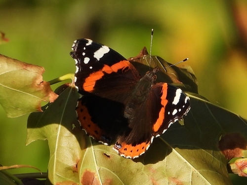
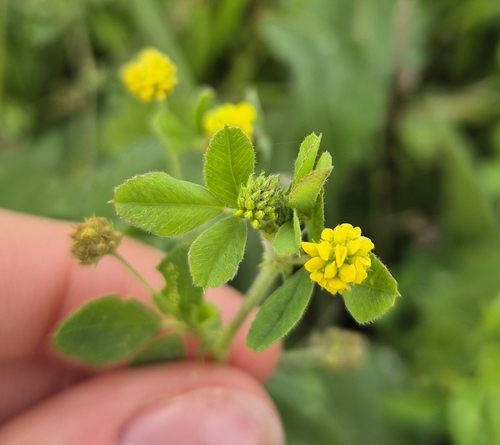
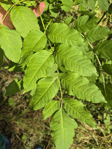
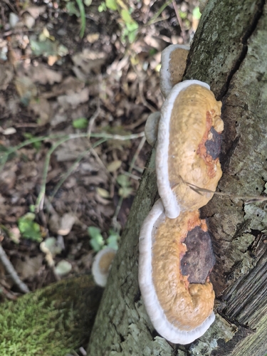
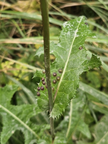
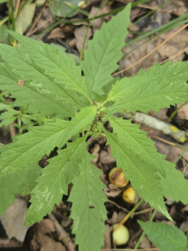
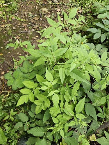
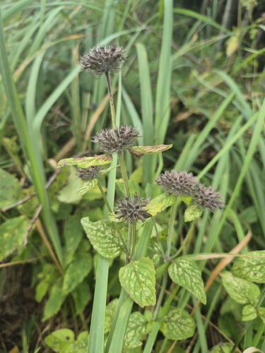
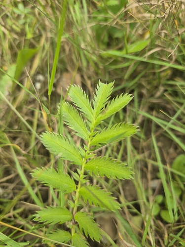
Research-grade observations from iNaturalist (within ~15 mi).
Events
Gallery
Sources
- • Wikipedia
- • Wikidata
- • USGS Earthquake Catalog (global feed)
- • GBIF (Global Biodiversity Information Facility)
- • iNaturalist
- • Open-Meteo / sunrise-sunset.org
- • Wikipedia Pageviews API