Browse / Lithuania / Marijampolė / Liudvinavas
Liudvinavas
Marijampolėtown

Liudvinavas
Total population
966
Demographic figures from Statistics Lithuania. Overview below cites Wikipedia and may reference a different year.
City facts
Facts from Wikidata (CC0).
Overview
Liudvinavas is a small town in Marijampolė municipality, 9 km south of Marijampolė. It is the seat of the Liudvinavas Eldership. There is a church of Saint Louis, built in 1730, a high school, a kindergarten, a library, a cultural centre, a post office (LT-69022), a primary health care clinic and hydroelectric power plant in Liudvinavas. The town is famous for The Feast of St. Louis, which is celebrated annually on the last Sunday of August. In 2019 Liudvinavas was named Lithuania's Little Capital of Culture.
Read more on WikipediaHistory & geography
History
Liudvinavas was first settled in the early 18th century in the Punia Forest. It was originally called Trobos. The Elder of Punia, Liudvikas Pociejus, founded a town on the site of Trobos and gave it its present name. Around 1717, the first church in Liudvinavas was built. On 14 January 1719, the town was granted Magdeburg rights and soon after the Liudvinavas manor was established. In 1776, the town's rights were annulled. On 10 November 1791, the rights of the free town and the coat of arms were granted again by King Stanislaus Augustus, but in the summer of 1792, the change in the political situation led to the abolition of the municipality and the coat of arms. In 1870, once again Liudvinavas has lost its town rights, as part of Tsarist repressions after the January Uprising. A new church was built around 1864, and in 1908 a small library was established. In December 1905, the townspeople of Liudvinavas drove out the Russian authorities of the town. During the World War I, most of the Liudvinavas was destroyed by fire. The description of the town in the early 20th century: The Molotov-Ribbentrop Pact, signed in August 1939, determined that Liudvinavas, as well as the whole of Lithuania, would be ceded to Germany; but soon after the signing of an additional treaties, almost the entire territory of Lithuania was placed under the influence of the USSR, while Liudvinavas (like Kapčiamiestis and Vilkaviškis) remained in Germany's zone, but was later reclaimed by Stalin. September 1941. The town's Jews were murdered. After the World War II, Lithuanian partisans of the Vytautas Brigade of the Tauras District were active in the area. On 27 April 1947, the Chief of Staff V. Vabalas (nickname Kunigaikštis) was killed when the Soviet forces surrounded his bunker near…
Excerpted from the corresponding Wikipedia article (CC BY-SA).
Geography
Coordinates & boundaries from the US Census TIGER/Line shapefiles.
Climate
Air quality
Walkability
Amenities nearby
Wildlife & biodiversity
Most-observed species
- Great TitParus major Linnaeus, 1758 · Aves773
- Eurasian MagpiePica pica (Linnaeus, 1758) · Aves676
- European StarlingSturnus vulgaris Linnaeus, 1758 · Aves671
- Hooded CrowCorvus cornix Linnaeus, 1758 · Aves660
- Eurasian Blue TitCyanistes caeruleus (Linnaeus, 1758) · Aves642
- MallardAnas platyrhynchos Linnaeus, 1758 · Aves607
- Common Wood-PigeonColumba palumbus Linnaeus, 1758 · Aves606
- Common RavenCorvus corax Linnaeus, 1758 · Aves564
Citizen-science & research observations from the Global Biodiversity Information Facility (GBIF).
Earthquake history
Events from the USGS Earthquake Catalog (global) (FDSN Event Web Service).
Photos
Sights & places nearby
Notable people from here


People born within ~10 km, from Wikidata (CC0). Click any name for their Wikipedia article.
Nearby places in Marijampolė
- Zviniškiai1.2 mi away · pop. 9
- Prodobolė1.3 mi away · pop. 61
- Balaikai1.5 mi away · pop. 12
- Netičkampis1.6 mi away · pop. 543
- Tarašiškiai1.7 mi away · pop. 25
- Šimuliai1.8 mi away · pop. 7
- Nartelis1.8 mi away · pop. 61
- Užgiriai1.9 mi away · pop. 192
- Dviratinė2.4 mi away · pop. 2
- Vazniškiai3 mi away · pop. 33
- Armoniškiai3 mi away · pop. 4
- Liepynai3.1 mi away · pop. 230
Geography & sun
Elevation, sunrise/sunset and daylight from Open-Meteo. Solar climatology from NASA POWER.
Nearby airports
Public attention
Pageview totals from the Wikimedia Pageviews API.
Books about this place
Recent natural events nearby
Ground air-quality sensors
Recently spotted species
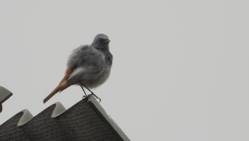
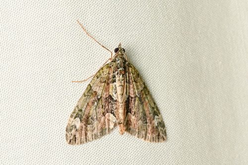
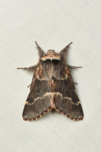
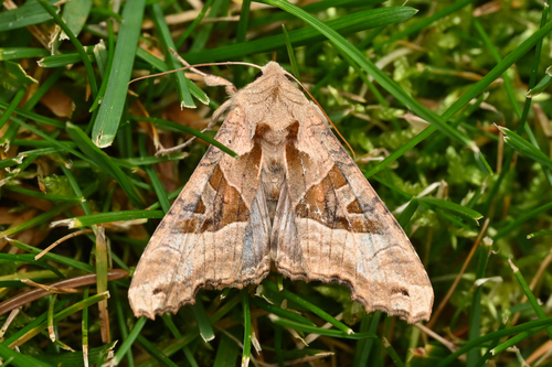
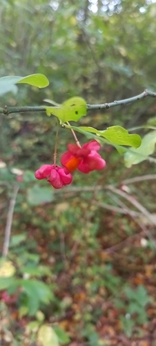
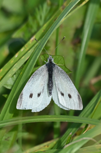
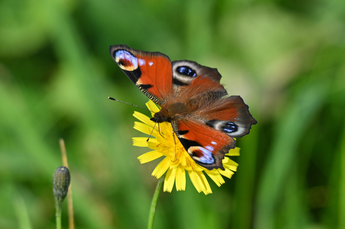
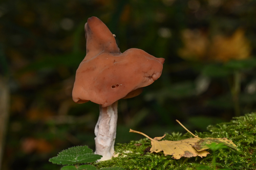
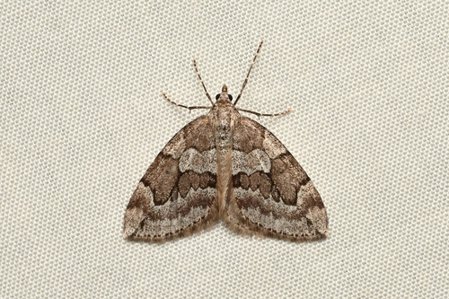
Research-grade observations from iNaturalist (within ~15 mi).
Events
Gallery
Sources
- • Wikipedia
- • Wikidata
- • USGS Earthquake Catalog (global feed)
- • GBIF (Global Biodiversity Information Facility)
- • iNaturalist
- • Open-Meteo / sunrise-sunset.org
- • Wikipedia Pageviews API