Browse / Lithuania / Vilnius / Nemenčinė
Nemenčinė
Vilniustown

Nemenčinė
Total population
5,054
Demographic figures from Statistics Lithuania. Overview below cites Wikipedia and may reference a different year.
City facts
Sister cities
Facts from Wikidata (CC0).
Overview
Nemenčinė is a city in Vilnius district municipality, Lithuania, it is located only about 7 kilometres (4.3 mi) north-east of Vilnius. Close to Nemenčinė forest was planted which forms a sentence Žalgiris 600 visible from the air. Nemenčinė is the only city in Lithuania, where it has a subarctic climate with 1-3 months above 10 °C 50 °F, And January averages lower than 0 °C 32 °F.
Read more on WikipediaHistory & geography
History
Lithuanian wooden castle and the mound stood in Nemenčinė in 10-14th centuries. The settlement started to grow around the castle. In 1387, following the Christianization of Lithuania, Jogaila established the first Christian parish in Nemenčinė and built a church there. In a 1434 document , one of the most influential Lithuanian noble families during the reign of Grand Duke of Lithuania Casimir IV Jagiellon, listed Nemenčinė as his domain. In 1554, Nemenčinė after the Volok Reform got the rights of the town. In 1613, the town was marked on the map of the Grand Duchy of Lithuania – Magni Ducatus Lithuaniae, et Regionum Adiacentium exacta Descriptio printed in Amsterdam and financed by the Lithuanian magnate Mikołaj Krzysztof Radziwiłł the Orphan.Nemenčinė was administratively located in the Wilno Voivodeship of Poland in the interbellum. During World War II, it was occupied by the Soviet Union from 1940, then by Nazi Germany from 1941, and then re-occupied by the Soviet Union in 1944. On 20 September 1941, 403 Jews from the town were massacred in a mass execution. 128 men, 186 women and 99 children were shot by an Einsatzgruppen of local Nazi collaborators. In 1971, a monument was erected on the execution site.
Excerpted from the corresponding Wikipedia article (CC BY-SA).
Geography
Coordinates & boundaries from the US Census TIGER/Line shapefiles.
Climate
Air quality
Walkability
Amenities nearby
Wildlife & biodiversity
Most-observed species
- Great TitParus major Linnaeus, 1758 · Aves2,285
- Hooded CrowCorvus cornix Linnaeus, 1758 · Aves1,707
- Eurasian Blue TitCyanistes caeruleus (Linnaeus, 1758) · Aves1,442
- Great Spotted WoodpeckerDendrocopos major (Linnaeus, 1758) · Aves1,414
- Eurasian BlackbirdTurdus merula Linnaeus, 1758 · Aves1,214
- Common ChaffinchFringilla coelebs Linnaeus, 1758 · Aves1,046
- Rock PigeonColumba livia J.F.Gmelin, 1789 · Aves980
- Common RavenCorvus corax Linnaeus, 1758 · Aves976
Citizen-science & research observations from the Global Biodiversity Information Facility (GBIF).
Earthquake history
Events from the USGS Earthquake Catalog (global) (FDSN Event Web Service).
Photos
Sights & places nearby
Notable people from here


People born within ~10 km, from Wikidata (CC0). Click any name for their Wikipedia article.
Geography & sun
Nearby airports
Public attention
Books about this place
Recent natural events nearby
Ground air-quality sensors
Recently spotted species
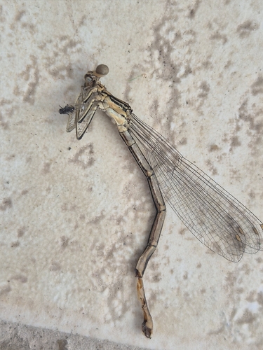
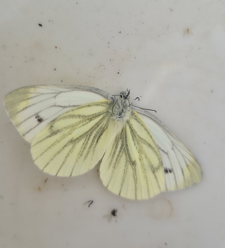
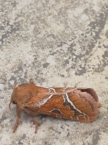
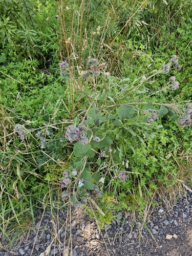
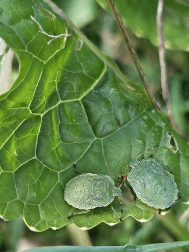
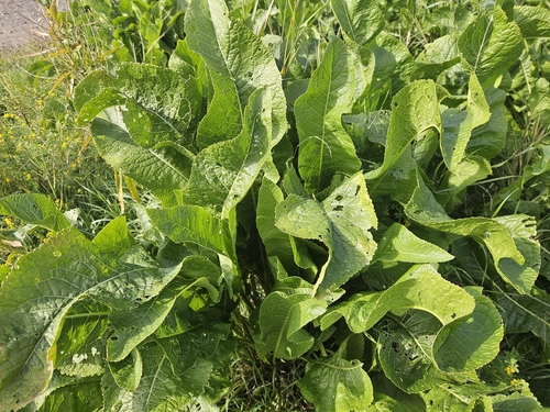
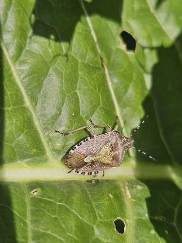
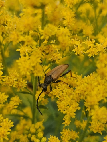
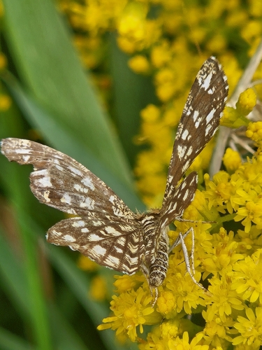
Research-grade observations from iNaturalist (within ~15 mi).
Events
Gallery
Sources
- • Wikipedia
- • Wikidata
- • USGS Earthquake Catalog (global feed)
- • GBIF (Global Biodiversity Information Facility)
- • iNaturalist