Browse / Lithuania / Panevėžys / Nemunėlio Radviliškis
Nemunėlio Radviliškis
Panevėžystown

Nemunėlio Radviliškis
Total population
566
Demographic figures from Statistics Lithuania. Overview below cites Wikipedia and may reference a different year.
City facts
Facts from Wikidata (CC0).
Overview
Nemunėlio Radviliškis is a town in Biržai district municipality, in Panevėžys County, northern Lithuania. According to the 2011 census, the town has a population of 566 people.
Read more on WikipediaHistory & geography
History
Two ancient Roman enamelled bronze brooches were found in the settlement, during archeological excavations. A flat, symmetrical one with an animal head ornament and a similar round one. Nemunėlio Radviliškis was first mentioned in 4 November 1586. It was founded by the Radvila noble family. The Evangelical Reformed Church of was built in 1590, a Catholic chapel in 1719, and the Catholic Church of the Virgin Mary was established in 1782. People of different faiths – Catholics and Lutherans - have been living together here for centuries, just like in the whole Biržai region. In Lithuania, as in all of Catholic Europe, the Lutherans were not very popular. The Vilnius Diocesan Synod of 1744 forbade Lutherans to teach Catholic children, and intermarriage between a Catholic and a Lutheran was considered inappropriate and illegitimate. In 1729, Gruzdas, a priest of the Dominican monastery of Palėvenė, broke into and vandalised the Evangelical Reformed churches in Nemunėlio Radviliškis and Papiliai. During the war with Sweden, the town sheltered a Swedish unit that had been defeated at Biržai Castle. In 1655, the Swedish Field Marshal Levenhaupt moved with part of his army from Kuoknese to Nemunėlio Radviliškis and established a camp there. Colonel Thaler was sent with 7 companies of infantry and 200 horsemen to capture Biržai. The Biržai Castle was captured and Urquard was appointed commandant. Lieutenant Colonel Martynas Šulcas was sent to take Palanga, Šventoji and Piltenė. Later, the Swedish army camp was moved from Nemunėlio Radviliškis to Pasvalys. During the Kościuszko Uprising in 1794, rebels were hiding in the forests of the surrounding area, as the local population was being forcibly taken into their army. In 1804 a Catholic parish school was built. During the…
Excerpted from the corresponding Wikipedia article (CC BY-SA).
Geography
Coordinates & boundaries from the US Census TIGER/Line shapefiles.
Climate
Air quality
Walkability
Amenities nearby
Wildlife & biodiversity
Earthquake history
Events from the USGS Earthquake Catalog (global) (FDSN Event Web Service).
Photos
Sights & places nearby
Notable people from here


People born within ~10 km, from Wikidata (CC0). Click any name for their Wikipedia article.
Geography & sun
Nearby airports
Public attention
Books about this place
Recent natural events nearby
Ground air-quality sensors
Recently spotted species
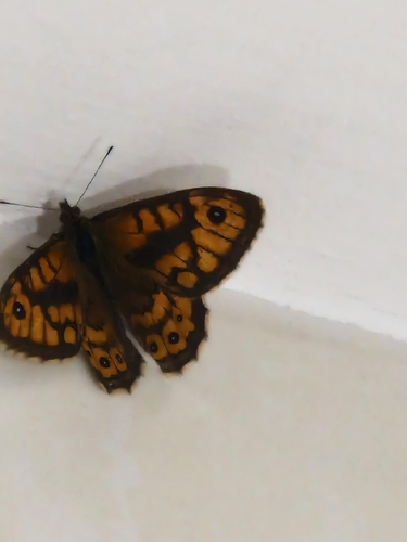
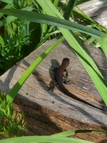
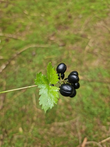
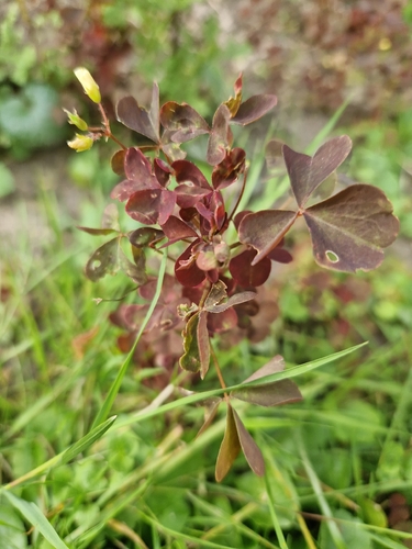
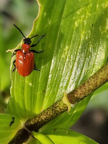
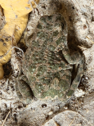
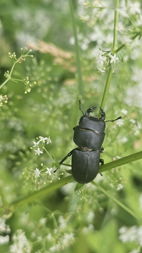
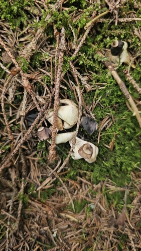
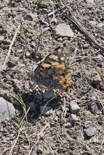
Research-grade observations from iNaturalist (within ~15 mi).
Events
Gallery
Sources
- • Wikipedia
- • Wikidata
- • USGS Earthquake Catalog (global feed)
- • iNaturalist