Browse / Lithuania / Telšiai / Rietavas
Rietavas
Telšiaitown

Rietavas
Total population
3,251
Air quality index
Demographic figures from Statistics Lithuania. Overview below cites Wikipedia and may reference a different year.
City facts
Facts from Wikidata (CC0).
Overview
Rietavas is a town in Lithuania on the Jūra River. According to the 2001 census it had a population of 3,979. It is the capital of Rietavas municipality.
Read more on WikipediaHistory & geography
History
Rietavas was first mentioned in written sources around 1253. During the Middle Ages it belonged to Ceklis land. Rietavas' eldership was mentioned in 1527. Since 1533 Rietavas was known as a town however the town rights were not granted until 1792. In the 14th and 15th centuries Rietavas was one of the most important defence centres in Samogitia and also a crossing of commercial roads. It was located in the Duchy of Samogitia in the Grand Duchy of Lithuania within the Polish–Lithuanian Commonwealth. In the 19th century Rietavas was an important educational centre as between 1812 and 1909 it belonged to Ogiński family, who loved culture and education. In 1835 there was established a hospital and four year later a parish school. In 1859 the school of agriculture was established in Rietavas, which was closed in 1863. Lithuanian was the official language of this school (there were any other such schools where Lithuanian would be an official language at that time). In 1873 current Catholic Church reflecting features of Romanesque Revival architecture was built. Rietavas also became an important centre of progressive technologies of that time. In 1882 the first telephone line in Lithuania was built. It connected Rietavas and Plungė cities. In 1892 started to produce electricity the first power station in Lithuania. On 17 April 1892 in Easter the first street lights were turned on in Rietavas manor, park and church. In 1915 Rietavas was the centre of the county and later on centre of the eldership. During the Inter-war period there were established a public library in 1928, a cinema in 1931. During World War II, the town was under Soviet occupation from 1940, and then under German occupation from 1941 to 1944. The Jewish Community was entirely destroyed by the Nazis and…
Excerpted from the corresponding Wikipedia article (CC BY-SA).
Geography
Coordinates & boundaries from the US Census TIGER/Line shapefiles.
Climate
Air quality
Current readings from Open-Meteo Air Quality API (Copernicus CAMS European reanalysis).
Walkability
Amenities nearby
Wildlife & biodiversity
Most-observed species
- Great TitParus major Linnaeus, 1758 · Aves69
- YellowhammerEmberiza citrinella Linnaeus, 1758 · Aves53
- Eurasian BlackbirdTurdus merula Linnaeus, 1758 · Aves52
- Common Wood-PigeonColumba palumbus Linnaeus, 1758 · Aves52
- Great Spotted WoodpeckerDendrocopos major (Linnaeus, 1758) · Aves50
- White StorkCiconia ciconia (Linnaeus, 1758) · Aves50
- Common RavenCorvus corax Linnaeus, 1758 · Aves49
- Common ChaffinchFringilla coelebs Linnaeus, 1758 · Aves49
Citizen-science & research observations from the Global Biodiversity Information Facility (GBIF).
Earthquake history
Events from the USGS Earthquake Catalog (global) (FDSN Event Web Service).
Photos
Sights & places nearby
Notable people from here
Nearby places in Telšiai
- Maldučiai0.7 mi away · pop. 76
- Sauslaukis1 mi away · pop. 462
- Vatušiai1.1 mi away · pop. 396
- Kalakutiškė1.1 mi away · pop. 67
- Vitkiliai1.2 mi away · pop. 18
- Pelaičiai1.6 mi away · pop. 316
- Kadagynai1.6 mi away · pop. 23
- Jaupėnai1.7 mi away · pop. 76
- Drobstai2 mi away · pop. 70
- Budrikiai2.2 mi away · pop. 163
- Norgalviai2.2 mi away · pop. 8
- Lozoriai2.3 mi away · pop. 25
Geography & sun
Elevation, sunrise/sunset and daylight from Open-Meteo. Solar climatology from NASA POWER.
Nearby airports
Public attention
Pageview totals from the Wikimedia Pageviews API.
Books about this place
Recent natural events nearby
Ground air-quality sensors
Recently spotted species
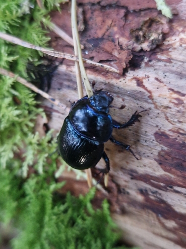
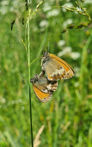
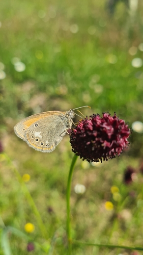
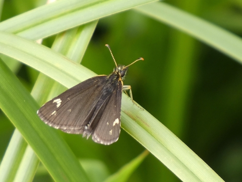
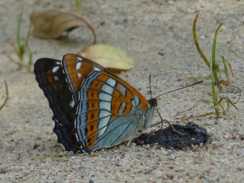
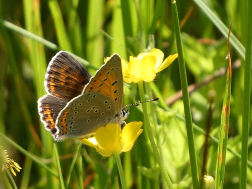
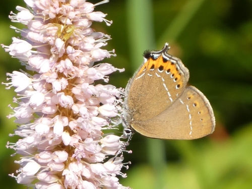
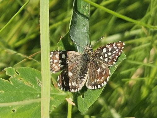
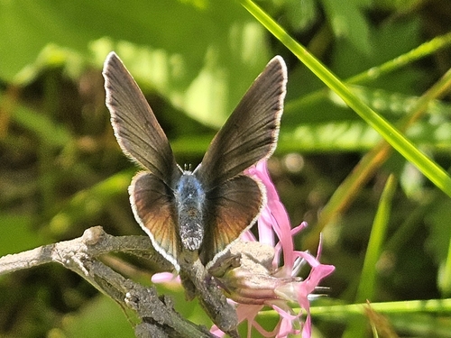
Research-grade observations from iNaturalist (within ~15 mi).
Events
Gallery
Sources
- • Wikipedia
- • Wikidata
- • Open-Meteo Air Quality (CAMS)
- • USGS Earthquake Catalog (global feed)
- • GBIF (Global Biodiversity Information Facility)
- • iNaturalist
- • Open-Elevation
- • Open-Meteo / sunrise-sunset.org
- • Wikipedia Pageviews API