Browse / Lithuania / Šiauliai / Šeduva
Šeduva
Šiauliaitown

Šeduva
Total population
2,895
Demographic figures from Statistics Lithuania. Overview below cites Wikipedia and may reference a different year.
City facts
Facts from Wikidata (CC0).
Overview
Šeduva is a town in the Radviliškis district municipality, Lithuania. It is located 18 km (11 mi) east of Radviliškis.
Read more on WikipediaHistory & geography
History
Šeduva was an agricultural town dealing in cereals, flax and linseed, pigs and geese and horses, at the site of a royal estate and beside a road from Kaunas to Riga. The population from the fifteenth century was Catholic and Jewish. Until then, Lithuania had been the last pagan kingdom in Europe and allowed freedom of worship and toleration of Jews and other religions. The first Catholic shrine of Šeduva, the Church of the Invention of the Holy Cross, was built and the parish founded between 1512 and 1529. The present brick church Cross was built in Šeduva in 1643 with a donation from bishop Jerzy Tyszkiewicz of Vilnius. During the 18th century, the bell tower was added to the structure, with further renovations and extensions in 1905. Baroque and Renaissance architectural styles characterise both the exterior and interior of the church. It has a cruciform plan with an apse, a low sacristy and five altars. During the 15th century, the region was redefined as the Voivodeship of Trakai and Vilnius. Later it became part of the Grand Duchy of Lithuania until the Union of Lublin in 1569 created the Polish-Lithuanian Commonwealth. The Šeduva coat of arms was granted on June 25, 1654, by John II Casimir Vasa, King of Poland and Grand Duke of Lithuania and at the same time, the city was granted burger rights at the request of Marie Louise Gonzaga, Queen and Grand Duchess consort. She descended from the Princes of Gonzaga, from Mantua in Italy. The arms of the family showed a black eagle. The small breastshield shows the French fleur-de-lis, because the Gonzaga family was related to the French Royal family. The eagle was made white in reference to the white eagle of Poland. 1792 Stanislaw II August Poniatowski, the last royal proprietor of Šeduva, concluded an agreement…
Excerpted from the corresponding Wikipedia article (CC BY-SA).
Geography
Coordinates & boundaries from the US Census TIGER/Line shapefiles.
Climate
Air quality
Walkability
Amenities nearby
Wildlife & biodiversity
Earthquake history
Photos
Sights & places nearby
Notable people from here


People born within ~10 km, from Wikidata (CC0). Click any name for their Wikipedia article.
Nearby places in Šiauliai
- Vėriškiai2.8 mi away · pop. 339
- Kurkliai3.3 mi away · pop. 58
- Liaudiškiai5 mi away · pop. 7
- Karčemos6.5 mi away · pop. 365
- Linkaičiai6.9 mi away · pop. 335
- Kalnelio Gražioniai7.5 mi away · pop. 394
- Ilguočiai7.8 mi away · pop. 89
- Kauliniai8.2 mi away · pop. 88
- Palonai8.2 mi away · pop. 345
- Medikoniai8.3 mi away · pop. 199
- Baisogala8.3 mi away · pop. 2,034
- Gražioniai8.4 mi away · pop. 98
Geography & sun
Elevation, sunrise/sunset and daylight from Open-Meteo. Solar climatology from NASA POWER.
Nearby airports
Public attention
Pageview totals from the Wikimedia Pageviews API.
Books about this place
Recent natural events nearby
Ground air-quality sensors
Recently spotted species
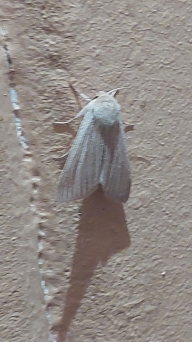
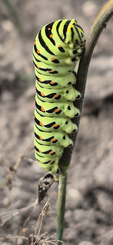
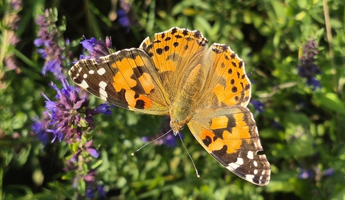
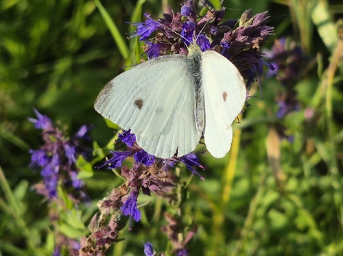
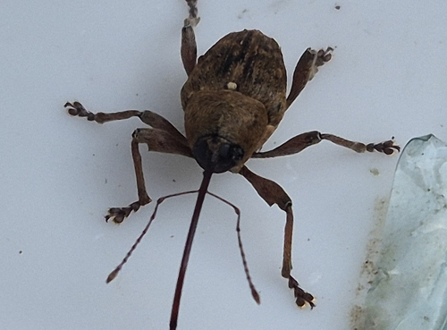
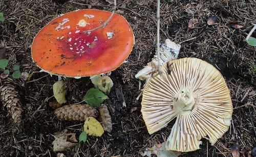
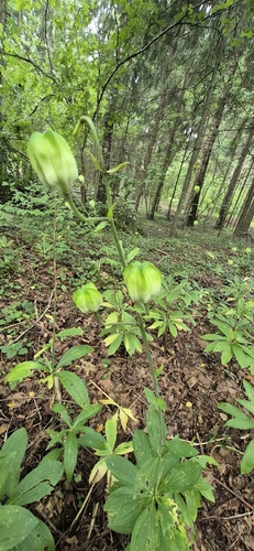
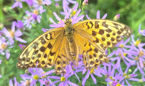
Research-grade observations from iNaturalist (within ~15 mi).
Events
Gallery
Sources
- • Wikipedia
- • Wikidata
- • iNaturalist
- • Open-Meteo / sunrise-sunset.org
- • Wikipedia Pageviews API