Browse / Lithuania / Kaunas / Stakliškės
Stakliškės
Kaunasvillage

Stakliškės
Total population
747
Demographic figures from Statistics Lithuania. Overview below cites Wikipedia and may reference a different year.
City facts
Facts from Wikidata (CC0).
Overview
Stakliškės is a village in Lithuania, located east of Prienai, in Prienai district of Kaunas County on the Prienai-Trakai road. Stakliškės is a center of Stakliškės elderate. The famous type of Lithuanian mead, an alcoholic beverage distilled from grain, honey and water is produced in Stakliškės. According to the 2011 census, the village had 747 residents.
Read more on WikipediaHistory & geography
History
The place has been known since the end of the 14th century (in 1375 it was mentioned in the Teutonic Knights Chronicles as Staghelisken, in 1385 as Stakelisken). Since 1513 it was a town, and in 1586 the first church was built. After reforms of the Great Sejm, on 16 January 1792 the monarch Stanisław August Poniatowski granted the town Magdeburg rights. At the time the city was awarded a coat of arms. Stakliškės (Stoklishok in Yiddish) included a large Jewish population prior to World War II. When Germany occupied Lithuania in June of 1941, a few Jews and others suspected of Soviet sympathies were taken away and shot. The remaining Jews were pressed into work until late August and early September, when Nazis and their Lithuanian collaborators murdered all of them along with well over a thousand Jews from surrounding regions. Only one Jewish girl from Stakliškės, Sarah Epshtein, survived under the protection of a Polish estate owner, a peasant couple, and partisan fighters. The current village coat of arms was granted by presidential decree on 18 December 1997.
Excerpted from the corresponding Wikipedia article (CC BY-SA).
Geography
Coordinates & boundaries from the US Census TIGER/Line shapefiles.
Climate
Air quality
Walkability
Amenities nearby
Wildlife & biodiversity
Most-observed species
- Great TitParus major Linnaeus, 1758 · Aves109
- Common ChaffinchFringilla coelebs Linnaeus, 1758 · Aves97
- Common RavenCorvus corax Linnaeus, 1758 · Aves70
- Great Spotted WoodpeckerDendrocopos major (Linnaeus, 1758) · Aves67
- GoldcrestRegulus regulus (Linnaeus, 1758) · Aves64
- White StorkCiconia ciconia (Linnaeus, 1758) · Aves62
- Common Wood-PigeonColumba palumbus Linnaeus, 1758 · Aves62
- Eurasian Blue TitCyanistes caeruleus (Linnaeus, 1758) · Aves61
Citizen-science & research observations from the Global Biodiversity Information Facility (GBIF).
Earthquake history
Events from the USGS Earthquake Catalog (global) (FDSN Event Web Service).
Photos
Sights & places nearby
Notable people from here
Geography & sun
Elevation, sunrise/sunset and daylight from Open-Meteo. Solar climatology from NASA POWER.
Nearby airports
Public attention
Pageview totals from the Wikimedia Pageviews API.
Books about this place
Recent natural events nearby
Ground air-quality sensors
Recently spotted species
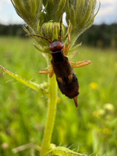
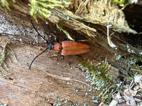
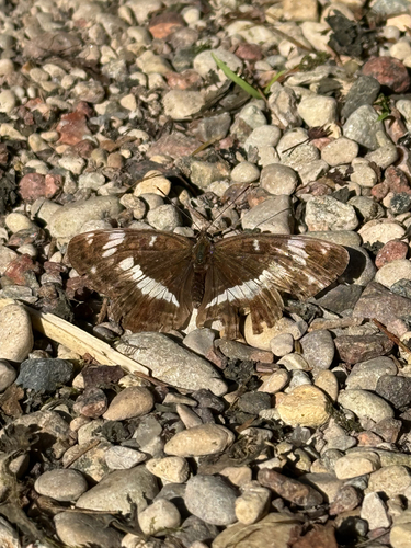
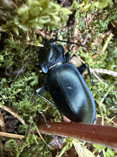
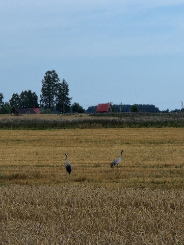
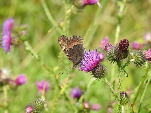
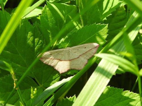
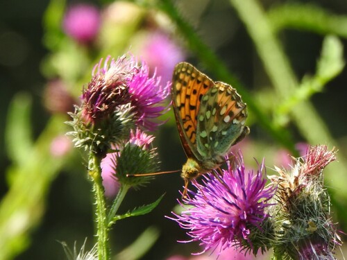
Research-grade observations from iNaturalist (within ~15 mi).
Events
Gallery
Sources
- • Wikipedia
- • Wikidata
- • USGS Earthquake Catalog (global feed)
- • GBIF (Global Biodiversity Information Facility)
- • iNaturalist
- • Open-Meteo / sunrise-sunset.org
- • Wikipedia Pageviews API