Browse / Latvia / Latvia / Jūrmala
Jūrmala
Latviacity

Jūrmala
Total population
52,001
Founded
1785
Air quality index
Demographic figures from Central Statistical Bureau of Latvia. Overview below cites Wikipedia and may reference a different year.
City facts
Sister cities
Facts from Wikidata (CC0).
Overview
Jūrmala is a state city in the Vidzeme region of Latvia, about 25 kilometres west of Riga. Jūrmala is a resort town stretching 32 km and is sandwiched between the Gulf of Riga and the Lielupe River. It has a 33 km stretch of white-sand beach and is the fifth-largest city in Latvia.
Read more on WikipediaHistory & geography
History
The city of Jūrmala actually consists of a string of small resorts. From west to east, these include Ķemeri, Jaunķemeri, Sloka, Kauguri, Vaivari, Asari, Melluži, Pumpuri, Jaundubulti, Dubulti, Majori, Dzintari, Bulduri and Lielupe and others. Jūrmala's reputation as a spa destination began in the late 18th and early 19th centuries. Wealthy landowners began the tradition of relaxing at the seaside, and Russian army officers came here to rest after the Napoleonic Wars, returning later with their families. The peak of the Jūrmala area's development was the opening of the Riga - Tukums railway in 1877 (which still passes through Jūrmala) that gave a great boost to the numbers of visitors, and thus a boost to the development of the town as a resort. Jūrmala also gained a reputation as a health spa. The sea breeze, pine aroma, mineral springs, and sandy beach encouraged many sanatoriums to develop within the city. In Soviet times Jūrmala was popular with the Communist officials because of its beach and sanatoriums - holidays were also given as rewards for top union members. It became one of the most popular holiday destinations in the whole Union. The spas offered facilities from mud baths to riding therapy and hiking in the woods. In summer there are many concerts. Whereas Riga has advanced rapidly to embrace and cater for growing numbers of Western tourists, Jūrmala has lagged behind. Russians are now subject to strict visa requirements and its beaches have yet to attract significant numbers of Europeans, leaving the tourist industry with a hard task on its hands. However, during the past few years, Jūrmala has started to recover. Many Russian celebrities, successful businessmen and others buy houses near the beach, and a variety of festivals and other activities…
Geography
Jūrmala's beach is long, covered with white quartz sand. The shallow coastal waters are suitable and safe for children. The beach is equipped with playgrounds, small benches, football fields and volleyball courts, as well as descents for prams and wheelchairs. In spring and autumn amber pieces can be found on the beach. Each region's beach has its own character. In Majori and Bulduri, where the Blue Flag flies, it is possible to rent water bicycles or relax in the beach cafe. In Dubulti and Dzintari competitions in beach football and volleyball take place, but on Pumpuri beach there is kite surfing and windsurfing. International water sports contests, including rowing, sailing, and waterskiing that take place on the river Lielupe. Jūrmala has an oceanic climate (Köppen Cfb) closely bordering on a humid continental climate (Köppen Dfb), because it is on the coast of the Baltic Sea.
Excerpted from the corresponding Wikipedia article (CC BY-SA).
Geography
Coordinates & boundaries from the US Census TIGER/Line shapefiles.
Climate
10-year averages from ERA5 reanalysis (Open-Meteo).
Air quality
Current readings from Open-Meteo Air Quality API (Copernicus CAMS European reanalysis).
Walkability
Amenities nearby
Wildlife & biodiversity
Most-observed species
- Hooded CrowCorvus cornix Linnaeus, 1758 · Aves1,350
- Herring GullLarus argentatus Pontoppidan, 1763 · Aves984
- MallardAnas platyrhynchos Linnaeus, 1758 · Aves909
- Great TitParus major Linnaeus, 1758 · Aves780
- Black-headed GullChroicocephalus ridibundus (Linnaeus, 1766) · Aves719
- House SparrowPasser domesticus (Linnaeus, 1758) · Aves707
- Rock PigeonColumba livia J.F.Gmelin, 1789 · Aves671
- Eurasian BlackbirdTurdus merula Linnaeus, 1758 · Aves565
Citizen-science & research observations from the Global Biodiversity Information Facility (GBIF).
Earthquake history
Events from the USGS Earthquake Catalog (global) (FDSN Event Web Service).
Photos
Sights & places nearby
Notable people from here


People born within ~10 km, from Wikidata (CC0). Click any name for their Wikipedia article.
Nearby places in Latvia
- Bazargan1528.9 mi away · pop. 9,000
- Qaraziadin1576.1 mi away · pop. 23,763
- Tazeh Shahr1609.7 mi away · pop. 8,629
- Salmas1610.5 mi away · pop. 97,060
- Parsabad1614.8 mi away · pop. 81,782
- Marand1623.9 mi away · pop. 130,000
- Bonab-e-Jadid1627.8 mi away · pop. 4,430
- Sharafkhaneh1631.1 mi away · pop. 4,245
- Khamaneh1634 mi away · pop. 3,056
- Kaleybar1634.3 mi away
- Shabestar1636.9 mi away · pop. 22,181
- Tabriz1659.6 mi away · pop. 1,558,693
Geography & sun
Elevation, sunrise/sunset and daylight from Open-Meteo. Solar climatology from NASA POWER.
Nearby airports
Public attention
Pageview totals from the Wikimedia Pageviews API.
Books about Jūrmala


Search results from Open Library.
Recent natural events nearby
Ground air-quality sensors
Recently spotted species
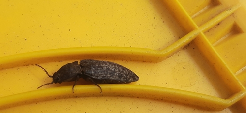
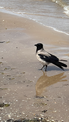
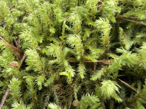
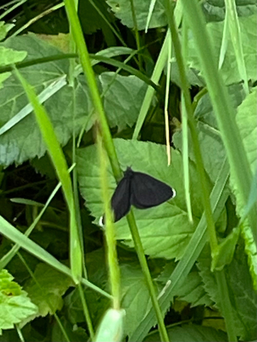
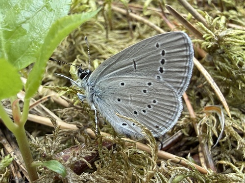
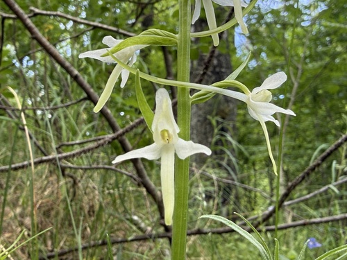
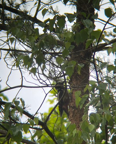
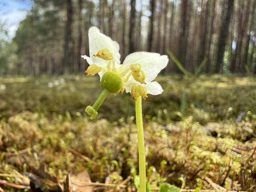
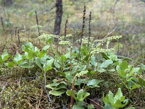
Research-grade observations from iNaturalist (within ~15 mi).
Events
Gallery
Geotagged photos within ~6 miles of Jūrmala, from Wikimedia Commons contributors.
 0 mi
0 mi 0 mi
0 mi 0 mi
0 mi 0 mi
0 mi 0 mi
0 mi 0 mi
0 mi.jpg) 0 mi
0 mi 0 mi
0 mi.jpg) 0 mi
0 mi.jpg) 0 mi
0 mi.jpg) 0 mi
0 mi.jpg) 0.1 mi
0.1 mi 0.1 mi
 0.1 mi
 0.1 mi
.jpg) 0.1 mi
0.1 mi.jpg) 0.1 mi
0.1 mi.jpg) 0.1 mi
0.1 mi.jpg) 0.1 mi
0.1 mi.jpg) 0.1 mi
0.1 mi.jpg) 0.1 mi
0.1 mi.jpg) 0.1 mi
0.1 mi.jpg) 0.1 mi
0.1 mi 0.1 mi
Photos via Wikimedia Commons — see each image page for license & attribution.
Sources
- • Wikipedia
- • Open-Meteo (ERA5 reanalysis)
- • Wikimedia Commons
- • Wikidata
- • Open-Meteo Air Quality (CAMS)
- • USGS Earthquake Catalog (global feed)
- • GBIF (Global Biodiversity Information Facility)
- • iNaturalist
- • Open-Meteo / sunrise-sunset.org
- • Wikipedia Pageviews API
- • Open Library