Browse / Latvia / Latvia / Liepaja
Liepaja
Latviacity

Liepaja
Total population
67,421
Founded
1625
Demographic figures from Central Statistical Bureau of Latvia. Overview below cites Wikipedia and may reference a different year.
City facts
Sister cities
Facts from Wikidata (CC0).
Overview
Liepāja is a state city in western Latvia, located on the Baltic Sea. It is the largest city in the Courland region and the third-largest in the country after Riga and Daugavpils. It is an important ice-free port.
Read more on WikipediaHistory & geography
History
It is said that the original settlement at the location of modern Liepāja was founded by Curonian fishermen from Piemare as Līva, but Henry of Livonia (Henricus de Lettis), in his famous Chronicle, makes no mention of the settlement. The Teutonic Order established a village which they called Libau here in 1263, followed by Mitau two years later. In 1418 the village was sacked and burned by the Lithuanians. During the 15th century, a part of the trade route from Amsterdam to Moscow passed through Līva, where it was known as the "white road to Lyva portus". By 1520 the river Līva had become too shallow for easy navigation, and development of the city declined. In 1560, Gotthard Kettler, first Duke of Courland and Semigallia, loaned all the Grobiņa district, including Libau, to Albert, Duke of Prussia for 50,000 guldens. Only in 1609 after the marriage of Sofie Hohenzollern, Princess of Prussia, to Wilhelm Kettler did the territory return to the Duchy. During the Livonian War, Libau was attacked and burnt by the Swedes. Along with Courland it was under Polish–Lithuanian suzerainty. In 1625, Duke Friedrich Kettler of Courland granted the town city rights, Courland passed to the control of the Russian Empire in 1795 during the Third Partition of Poland and was organized as the Courland Governorate of Russia. Growth during the nineteenth century was rapid. During the Crimean War, when the British Royal Navy was blockading Russian Baltic ports, the busy yet still unfortified port of Libau was briefly captured on 17 May 1854 without a shot being fired, by a landing party of 110 men from HMS Conflict and HMS Amphion. That year the engineer Jan Heidatel developed a project to reconstruct the port. In 1861–1868 the project was realized – including the building of a lighthouse…
Geography
Liepāja is situated on the coast of the Baltic Sea in the south-western part of Latvia. The westernmost geographical point of Latvia is located approximately to the south thus making Liepāja Latvia's furthest west city. The city occupies a 1.5-6.5 km wide coastal dune embankment and a foothill plain in the Bartau Plain of the Seaside Lowland. Liepāja is surrounded by the Dienvidkurzeme Region, and is bordered to the north by Medze Parish, to the east by Grobiņa Parish, and to the south by Nīca Parish, with its western border following the Baltic Sea coast. The Trade Channel () connects the lake to the sea dividing the city into southern and northern parts, which are often referred to as Vecliepāja (Old Town) and Jaunliepāja (New Town) respectively. Along the coast, the city extends northwards until it reaches the Karosta Channel (). North of the Karosta Channel is an area called Karosta which is now fully integrated into Liepāja and is the northernmost district of the city. Liepāja's coastline consists of an unbroken sandy beach and dunes. Natural areas cover about one third of the territory of the city. These areas are mostly located on the outskirts of the city and are not connected to the small green areas in the central part of the city. Liepāja's urban forest covers 1368.9 ha, of which 83% are forest stands, the rest is covered by swamps (4.7%), meadows and sandhills (9.5%), flood plains and infrastructure sites (less than 3% in total). Private landowners own 109.6 ha, while 92% of the forest land area, or 1259.3 ha, belongs to the municipality. The urban forest consists of five separate forest massifs: the largest one is in the northern part of the city – the Karosta Forest. Other forests include Reiņu Forest, the forests near the regional hospital, the…
Excerpted from the corresponding Wikipedia article (CC BY-SA).
Geography
Coordinates & boundaries from the US Census TIGER/Line shapefiles.
Climate
10-year averages from ERA5 reanalysis (Open-Meteo).
Air quality
Walkability
Amenities nearby
Wildlife & biodiversity
Most-observed species
- Hooded CrowCorvus cornix Linnaeus, 1758 · Aves257
- Black-headed GullChroicocephalus ridibundus (Linnaeus, 1766) · Aves202
- Herring GullLarus argentatus Pontoppidan, 1763 · Aves182
- MallardAnas platyrhynchos Linnaeus, 1758 · Aves151
- Great Cormorant/European ShagPhalacrocorax carbo (Linnaeus, 1758) · Aves150
- Mute SwanCygnus olor (J.F.Gmelin, 1789) · Aves138
- European StarlingSturnus vulgaris Linnaeus, 1758 · Aves116
- White WagtailMotacilla alba Linnaeus, 1758 · Aves109
Citizen-science & research observations from the Global Biodiversity Information Facility (GBIF).
Earthquake history
Events from the USGS Earthquake Catalog (global) (FDSN Event Web Service).
Photos
Sights & places nearby
Notable people from here


People born within ~10 km, from Wikidata (CC0). Click any name for their Wikipedia article.
Nearby places in Latvia
- Bazargan1587.3 mi away · pop. 9,000
- Tazeh Shahr1666.3 mi away · pop. 8,629
- Parsabad1682.8 mi away · pop. 81,782
- Bonab-e-Jadid1688.1 mi away · pop. 4,430
- Khamaneh1693.2 mi away · pop. 3,056
- Tabriz1720.2 mi away · pop. 1,558,693
- Bostanabad1749.8 mi away · pop. 16,592
- Bahreman1759.5 mi away · pop. 738
- Sarab1766 mi away · pop. 45,000
- Sareyn1771.1 mi away · pop. 5,459
- Ardabil1772.8 mi away · pop. 482,632
- Nir1775.2 mi away · pop. 4,818
Geography & sun
Elevation, sunrise/sunset and daylight from Open-Meteo. Solar climatology from NASA POWER.
Nearby airports
Public attention
Pageview totals from the Wikimedia Pageviews API.
Books about Liepaja


Search results from Open Library.
Recent natural events nearby
Ground air-quality sensors
Recently spotted species
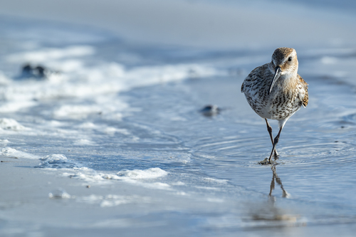
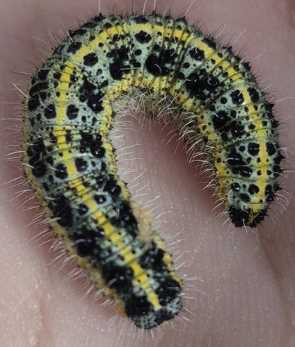
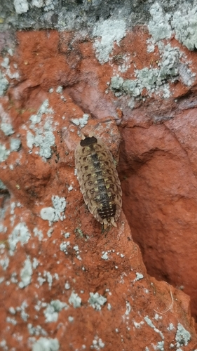
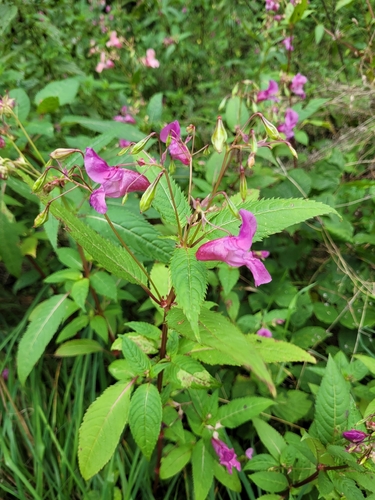
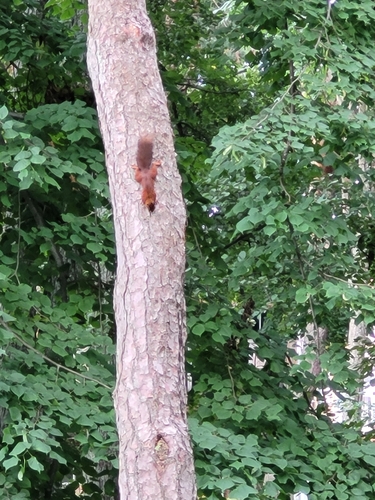
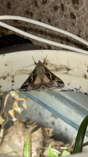
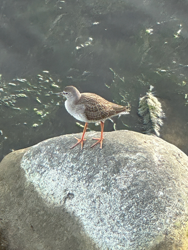
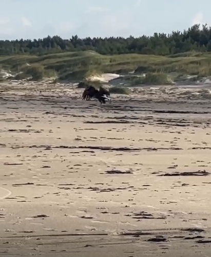
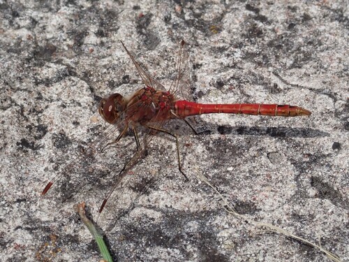
Research-grade observations from iNaturalist (within ~15 mi).
Events
Gallery
Geotagged photos within ~6 miles of Liepaja, from Wikimedia Commons contributors.
_-_Uldis_Osis_-_Panoramio.jpg)

.jpg)

.jpg)
.jpg)
.jpg)
.jpg)
.jpg)
.jpg)
.jpg)
.jpg)
.jpg)
.jpg)
.jpg)


Photos via Wikimedia Commons — see each image page for license & attribution.
Sources
- • Wikipedia
- • Open-Meteo (ERA5 reanalysis)
- • Wikimedia Commons
- • Wikidata
- • USGS Earthquake Catalog (global feed)
- • GBIF (Global Biodiversity Information Facility)
- • iNaturalist
- • Open-Meteo / sunrise-sunset.org
- • Wikipedia Pageviews API
- • Open Library