Browse / Libya / Tripoli / Tripoli
Tripoli
Tripolicity

Tripoli
Total population
2,127,000
Demographic figures from Bureau of Statistics and Census (Libya). Overview below cites Wikipedia and may reference a different year.
City facts
Facts from Wikidata (CC0).
Overview
Tripoli, historically known as Tripoli-of-the-West, is the capital and largest city of Libya, with a population of about 3.246 million people in 2021. It is located in the northwest of Libya on the edge of the desert, on a point of rocky land projecting into the Mediterranean Sea and forming a bay. It includes the port of Tripoli and the country's largest commercial and manufacturing center. It is also the site of the University of Tripoli.
Read more on WikipediaHistory & geography
History
The city was founded in the 7th century BC by the Phoenicians, who gave it the Libyco-Berber name Oyat (Punic: 𐤅𐤉𐤏𐤕, wyʿt), The Phoenicians were probably attracted to the site by its natural harbor, flanked on the western shore by the small, easily defensible peninsula, on which they established their colony. The city then passed into the hands of the Greek rulers of Cyrenaica as Oea (Greek: Ὀία, Oía). Cyrene was a colony on the North African shore, a bit east of Tambroli and halfway to Egypt. The Carthaginians later wrested it again from the Greeks. By the later half of the 2nd century BC, it belonged to the Romans, who included it in their province of Africa, and gave it the name of "Regio Syrtica". Around the beginning of the 3rd century AD, it became known as the Regio Tripolitana, meaning "region of the three cities", namely Oea (i.e., modern Tripoli), Sabratha and Leptis Magna. It was probably raised to the rank of a separate province by Septimius Severus, who was a native of Leptis Magna. In spite of centuries of Roman habitation, the only visible Roman remains, apart from scattered columns and capitals (usually integrated in later buildings), is the Arch of Marcus Aurelius from the 2nd century AD. The fact that Tripoli has been continuously inhabited, unlike e.g., Sabratha and Leptis Magna, has meant that the inhabitants have either quarried material from older buildings (destroying them in the process) or built on top of them, burying them beneath the streets, where they remain largely unexcavated. There is evidence to suggest that the Tripolitania region was in some economic decline during the 5th and 6th centuries, in part due to the political unrest spreading across the Mediterranean world in the wake of the collapse of the Western Roman Empire,…
Geography
Tripoli lies at the western extremity of Libya close to the Tunisian border, on the continent of Africa. Over a thousand kilometers (621 miles) separates Tripoli from Libya's second largest city, Benghazi. Coastal oases alternate with sandy areas and lagoons along the shores of Tripolitania for more than . The city lies about 70 kilometers north from the Nafusa Mountains, the source of seasonal rivers like Wadi Mejenin, which has a dam to collect seasonal water flows. Until 2007, the "Sha'biyah" included the city, its suburbs and their immediate surroundings. In older administrative systems and throughout history, there existed a province ("muhafazah"), state ("wilayah") or city-state with a much larger area (though not constant boundaries), which is sometimes mistakenly referred to as Tripoli but more appropriately should be called Tripolitania. As a District, Tripoli borders the following districts: * Murqub – east * Jabal al Gharbi – south * Jafara – southwest * Zawiya – west Tripoli has a hot semi-arid climate (Köppen: BSh) with some characteristics of a hot-summer Mediterranean climate (Köppen: Csa) with hot and dry, prolonged summers and relatively wet mild winters. Although virtually rainless, summers are hot and muggy with temperatures that often exceed ; average July temperatures are between . In December, temperatures have reached as low as , but the average remains at between . The average annual rainfall is less than . Snowfall has occurred in past years. The Great Manmade River, a network of pipelines that transport water from the desert to the coastal cities, supplies Tripoli with its water. The grand scheme was initiated by Gaddafi in 1982. A 2019 paper published in PLOS One estimated that under Representative Concentration Pathway 4.5, a "moderate"…
Excerpted from the corresponding Wikipedia article (CC BY-SA).
Geography
Coordinates & boundaries from the US Census TIGER/Line shapefiles.
Climate
Air quality
Walkability
Amenities nearby
Wildlife & biodiversity
Earthquake history
Photos
Sights & places nearby
Notable people from here


People born within ~10 km, from Wikidata (CC0). Click any name for their Wikipedia article.
Nearby places in Tripoli
Geography & sun
Elevation, sunrise/sunset and daylight from Open-Meteo. Solar climatology from NASA POWER.
Nearby airports
Public attention
Pageview totals from the Wikimedia Pageviews API.
Books about Tripoli


Search results from Open Library.
Recent natural events nearby
Ground air-quality sensors
Recently spotted species
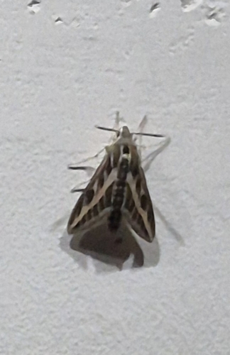
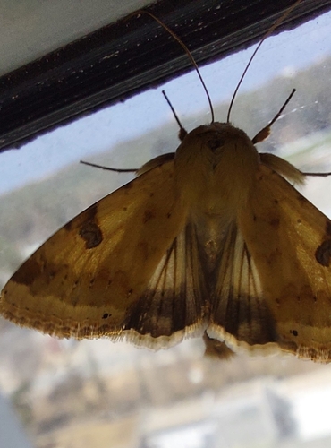
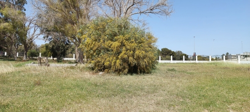
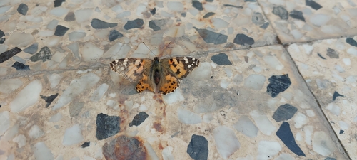
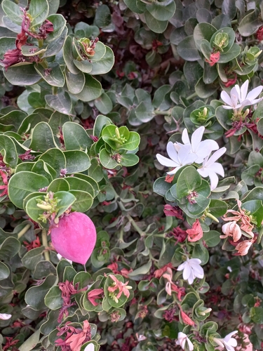
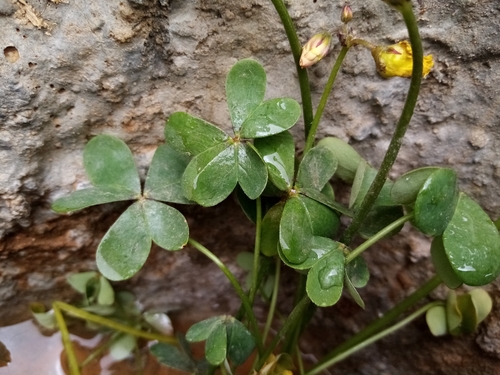
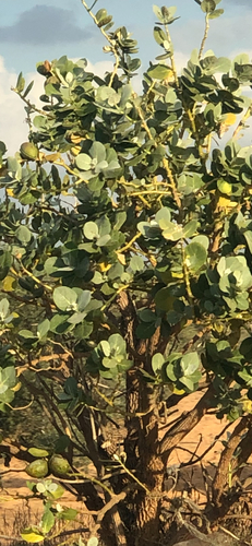
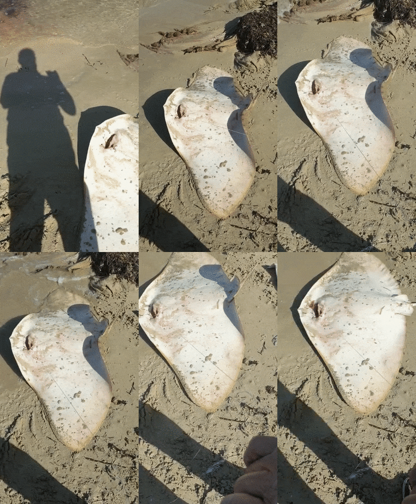
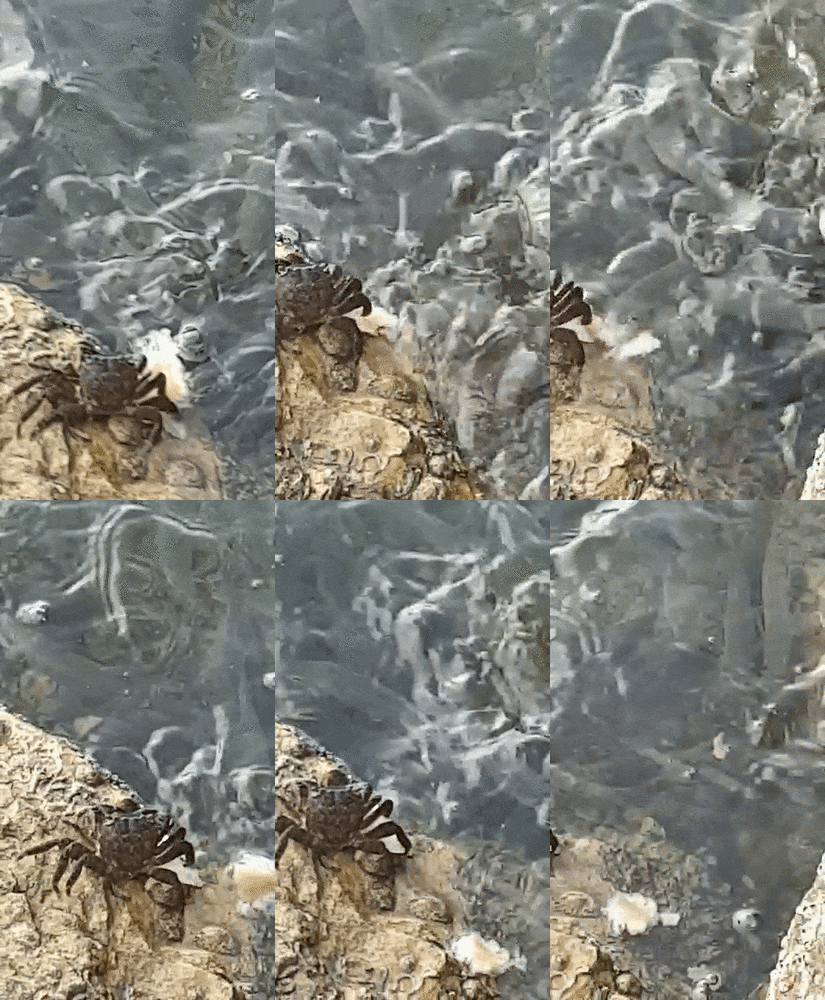
Research-grade observations from iNaturalist (within ~15 mi).
Events
Gallery
Sources
- • Wikipedia
- • Wikidata
- • iNaturalist
- • Open-Meteo / sunrise-sunset.org
- • Wikipedia Pageviews API
- • Open Library