Browse / United States / Massachusetts / Ayer
Ayer
MassachusettsCDP

Ayer
Total population
3,098
Median home value
$444,600
Bachelor's+
Median income
$74,878
Founded
1668
Demographic figures from US Census Bureau · ACS 5-year estimates. Overview below cites Wikipedia and may reference a different year.
City facts
Facts from Wikidata (CC0).
Overview
Ayer is a town in Middlesex County, Massachusetts, United States. Originally part of Groton, it was incorporated February 14, 1871, and became a major commercial railroad junction. The town was home to Camp Stevens, a training camp for Massachusetts volunteers during the American Civil War. Later, Fort Devens was established by the federal government to train New England soldiers for World War I. Fort Devens is a major influence on the area, although it is considerably smaller than when it was first closed in the mid-1990s. The town's population was 8,479 at the 2020 census. It contains the census-designated places of Ayer and Devens.
Read more on WikipediaHistory & geography
History
Ayer was originally inhabited by the Nashaway, a Nipmuc people that inhabited the lands along the Nashua River and its tributaries. A small settlement was located along the banks of the Nonacoicus Brook, located in the western part of the town. The name of the Nashaway village, its people and the brook, pronounced by locals as , was also recorded in early English sources as 'Nonajcoyjicus,' 'Nonocoyecos,' 'Nonacoiacus' and 'Nonaicoics.' According to the personal manuscripts of Justice Samuel Sewall, best known for his controversial role in the Salem witch trials, he was told sometime in 1698 by Hanah, wife of Sachem Ahaton of the Ponkapoag Massachusett tribe, that the name was actually Nunnacoquis (modern Wôpanâak Massachusett dialect Nunahkuqees ) and signified 'an Indian earthen pot' although literally refers to a 'small dry earthen pot.' The name was likely a reference to a series of small mounds along the banks of the Nonacoicus Brook. In addition, portions of Main Street and Sandy Pond Road are believed to follow the vast network of trails used by Native peoples for trade, travel and communication. The Nashaway likely cultivated corn, beans and squash, but depended on foraging for fruits, nuts, tubers and seeds to supplement their diets. Seasonally, camps were set up in hunting areas, but the most important gatherings were likely the annual spawning migrations of Atlantic salmon, alewife, American shad, blueback herring and sea lamprey that once swam up the Nashua River from the sea via the Merrimack River. The town of Groton, which originally included Ayer as well as several other towns in the region, was settled by English colonists as early as 1655. The first settlement in the portion of Groton that would become Ayer was in 1667, when a mill was constructed…
Geography
According to the United States Census Bureau, the town has a total area of 9.6 square miles (24.8 km2), of which 9.0 square miles (23.4 km2) is land and 0.6 square mile (1.4 km2) (5.75%) is water. Ayer borders the towns of Shirley, Groton, Littleton, and Harvard.
Excerpted from the corresponding Wikipedia article (CC BY-SA).
Demographics & economy
Race & ethnicity
Source: US Census Bureau — American Community Survey, 5-year estimates.
Geography
Coordinates & boundaries from the US Census TIGER/Line shapefiles.
Climate
Current forecast
Forecast for Ayer, MA from NOAA NWS API.
Air quality
Industrial & pollution facilities
Natural hazard risk
Health (adults)
Age-adjusted prevalence estimates from CDC PLACES (latest release).
Walkability
Amenities nearby
Wildlife & biodiversity
Most-observed species
- Black-capped ChickadeePoecile atricapillus (Linnaeus, 1766) · Aves33,600
- Blue JayCyanocitta cristata (Linnaeus, 1758) · Aves32,543
- Northern CardinalCardinalis cardinalis (Linnaeus, 1758) · Aves29,727
- Tufted TitmouseBaeolophus bicolor (Linnaeus, 1766) · Aves29,564
- American RobinTurdus migratorius Linnaeus, 1766 · Aves28,146
- American GoldfinchSpinus tristis (Linnaeus, 1758) · Aves26,767
- Downy WoodpeckerDryobates pubescens (Linnaeus, 1766) · Aves24,827
- White-breasted NuthatchSitta carolinensis Latham, 1790 · Aves23,607
Citizen-science & research observations from the Global Biodiversity Information Facility (GBIF).
Schools
Largest nearby schools
- Acton-Boxborough Regional HighHigh · Acton · 1,683 students · 13.7:1 ratio
- Westford AcademyHigh · Westford · 1,525 students · 13.5:1 ratio
- Raymond J Grey Junior HighMiddle · Acton · 825 students · 11.5:1 ratio
- North Middlesex RegionalHigh · Townsend · 779 students · 13.7:1 ratio
- Tyngsborough ElementaryElementary · Tyngsborough · 752 students · 12.7:1 ratio
- Nashoba Valley Technical High SchoolHigh · Westford · 750 students · 11.7:1 ratio
- Groton Dunstable Regional MiddleMiddle · Groton · 723 students · 12.1:1 ratio
- Groton Dunstable RegionalHigh · Groton · 680 students · 12.8:1 ratio
Public K–12 schools within ~10 mi from Urban Institute Education Data Portal (NCES Common Core of Data, 2022).
Earthquake history
Most recent
- M 3.8 — 2025-01-279 km SE of York Harbor, Maine
- M 2.7 — 2023-12-235 km SW of Chichester, New Hampshire
- M 2.7 — 2018-02-150 km SE of East Kingston, New Hampshire
- M 2.8 — 2016-03-214 km ESE of Warner, New Hampshire
- M 2.6 — 2015-01-132 km E of Wauregan, Connecticut
- M 3.3 — 2015-01-120 km NE of Wauregan, Connecticut
Events from the USGS Earthquake Catalog (global) (FDSN Event Web Service).
Photos
Sights & places nearby
Notable people from here


People born within ~10 km, from Wikidata (CC0). Click any name for their Wikipedia article.
Nearby places in Massachusetts
- Cochituate20.1 mi away
- Boxford31.3 mi away · pop. 2,284
- Peabody31.4 mi away · pop. 54,695
- Amesbury Town37.7 mi away
- Deerfield51.8 mi away · pop. 458
- Chicopee56.9 mi away · pop. 55,295
- Duxbury58.5 mi away · pop. 1,994
- Ocean Grove60.7 mi away · pop. 3,453
- Bourne75.9 mi away · pop. 1,806
- Cheshire80.3 mi away · pop. 674
- Pittsfield85.7 mi away · pop. 43,457
- Yarmouth Port91.5 mi away · pop. 5,961
Geography & sun
Elevation, sunrise/sunset and daylight from Open-Meteo. Solar climatology from NASA POWER.
Nearby airports
Public attention
Pageview totals from the Wikimedia Pageviews API.
Books about Ayer

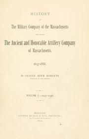
Search results from Open Library.
Recent natural events nearby
Ground air-quality sensors
Recently spotted species
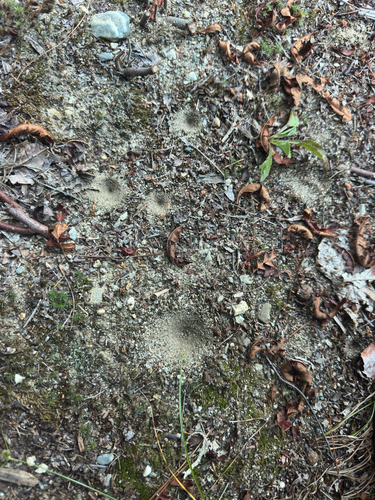
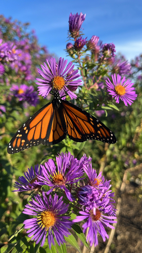
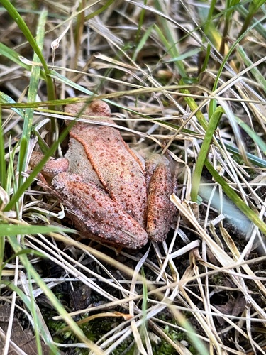
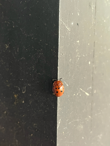
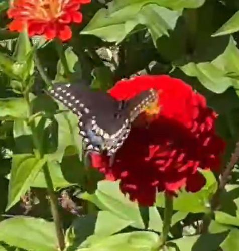
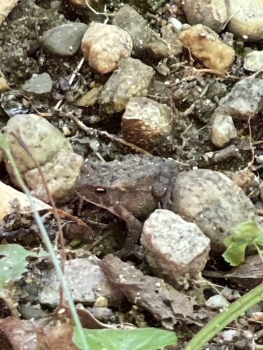
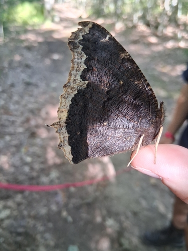
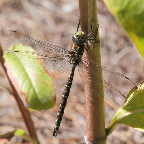
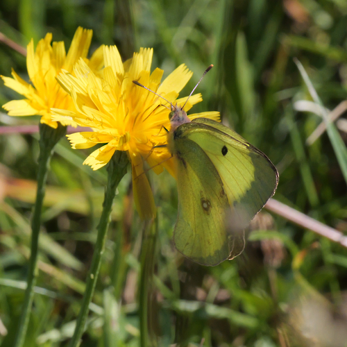
Research-grade observations from iNaturalist (within ~15 mi).
Nearest stream gauge
Live readings from USGS NWIS · measured 2026-10-16 13:00 UTC.
Events
Gallery
Geotagged photos within ~6 miles of Ayer, from Wikimedia Commons contributors.
 0.2 mi
 0.2 mi
 0.2 mi
 0.2 mi
 0.2 mi
 0.2 mi
 0.2 mi
 0.2 mi
 0.3 mi
 0.3 mi
 0.3 mi
 0.3 mi
 0.3 mi
 0.3 mi
 0.3 mi
 0.3 mi
 0.3 mi
 0.3 mi
 0.3 mi
 0.3 mi
 0.3 mi
 0.3 mi
 0.3 mi
 0.3 mi
Photos via Wikimedia Commons — see each image page for license & attribution.
Sources
- • Wikipedia
- • US Census Bureau (ACS 5-year estimates)
- • NOAA National Weather Service
- • Wikimedia Commons
- • Wikidata
- • USGS Earthquake Catalog (global feed)
- • USGS NWIS (water data)
- • NCES via Urban Institute Education Data Portal
- • GBIF (Global Biodiversity Information Facility)
- • iNaturalist
- • CDC PLACES
- • Open-Meteo / sunrise-sunset.org
- • Wikipedia Pageviews API
- • Open Library
- • Wikidata SPARQL (CC0) — population, area, elevation, inception, head of government, Commons image