Browse / Morocco / Tanger-Tetouan-Al Hoceima / Bab Berred
Bab Berred
Tanger-Tetouan-Al Hoceimatown

Featured view
Bab Berred
Total population
5,043
Coordinates35.00°, -4.89°
Demographic figures from HCP Morocco. Overview below cites Wikipedia and may reference a different year.
Loading additional data from public sources…0 / 11
CensusWikipediaWeatherPlacesPeopleEnvironmentHealth & SchoolsRelatedGeography & CultureLive MonitoringEvents & Gallery
0% completeCity facts
Overview
Bab Berred is a town in Chefchaouen Province, Tanger-Tetouan-Al Hoceima, Morocco. According to the 2004 census it has a population of 5,043.
Read more on WikipediaHistory & geography
Geography
Latitude
34.9989
Longitude
-4.8903
Water area
—
Coordinates & boundaries from the US Census TIGER/Line shapefiles.
Climate
Air quality
Walkability
Amenities nearby
Wildlife & biodiversity
Earthquake history
Photos
Sights & places nearby
Notable people from here
Nearby places in Tanger-Tetouan-Al Hoceima
- Tizi Tchen24.1 mi away · pop. 9,357
- Chefchaouen24.4 mi away · pop. 35,709
- Rouadi رواضي43.8 mi away · pop. 8,092
- Tangier74 mi away · pop. 947,952
- Lamas do Vouga435.6 mi away · pop. 729
- Paraíso454.6 mi away · pop. 924
- Brinkane531.5 mi away
- Laayad533.5 mi away
- Kabertene533.7 mi away
- Sebaa544.5 mi away
- El Mansour552.7 mi away
- Melouka560.4 mi away
Geography & sun
Avg solar (kWh/m²/day)
5.17
Annual solar (kWh/m²)
1,888
Elevation, sunrise/sunset and daylight from Open-Meteo. Solar climatology from NASA POWER.
Nearby airports
Public attention
Wikipedia views (last 30 days)
124
Avg daily Wikipedia views
4
Attention level
Obscure
Pageview totals from the Wikimedia Pageviews API.
Books about this place
Recent natural events nearby
Ground air-quality sensors
Recently spotted species
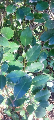
European holly
Ilex aquifolium
Seen 2024-12-29
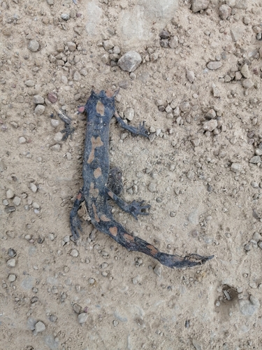
North African Fire Salamander
Salamandra algira
Seen 2024-11-12
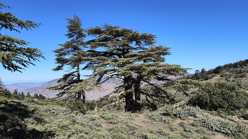
Atlas cedar
Cedrus atlantica
Seen 2024-10-26
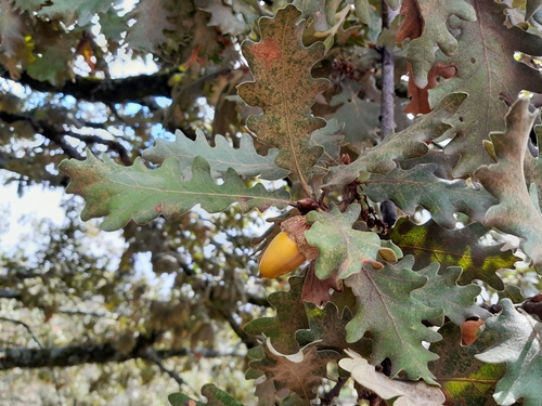
Pyrenean Oak
Quercus pyrenaica
Seen 2024-10-10
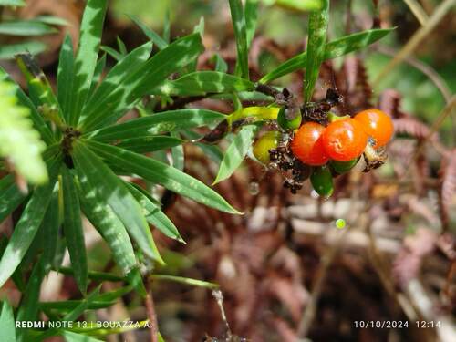
Flax-leaved Daphne
Daphne gnidium
Seen 2024-10-10
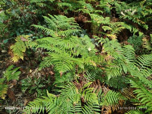
Pteridium aquilinum aquilinum
Pteridium aquilinum aquilinum
Seen 2024-10-10
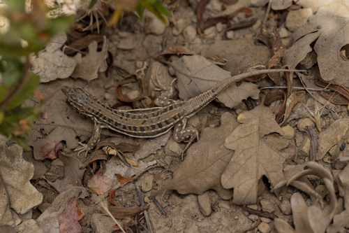
Spiny-footed Lizard
Acanthodactylus erythrurus
Seen 2024-07-11
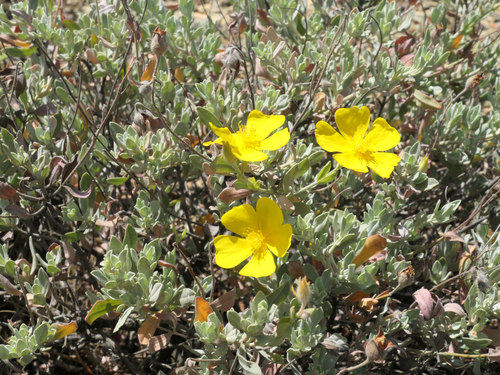
Spotted yellow sun rose
Cistus halimifolius
Seen 2023-07-07
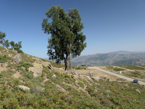
cork oak
Quercus suber
Seen 2023-07-06
Research-grade observations from iNaturalist (within ~15 mi).
Events
Gallery
Sources
- • Wikipedia
- • iNaturalist
- • Open-Meteo / sunrise-sunset.org
- • Wikipedia Pageviews API