Browse / Morocco / Drâa-Tafilalet / Boumalne Dadès
Boumalne Dadès
Drâa-Tafilalettown

Boumalne Dadès
Demographic figures from HCP Morocco. Overview below cites Wikipedia and may reference a different year.
City facts
Facts from Wikidata (CC0).
Overview
Boumalne Dades is a city in Tinghir Province, Drâa-Tafilalet, Morocco. According to the 2014 census, it had a population of 12,328.
Read more on WikipediaHistory & geography
Geography
Coordinates & boundaries from the US Census TIGER/Line shapefiles.
Climate
Air quality
Walkability
Amenities nearby
Wildlife & biodiversity
Most-observed species
- Temminck's LarkEremophila bilopha (Temminck, 1823) · Aves1,921
- Desert WheatearOenanthe deserti (Temminck, 1825) · Aves1,867
- Red-rumped WheatearOenanthe moesta (Lichtenstein, 1823) · Aves1,380
- Trumpeter FinchBucanetes githagineus (M.H.K.Lichtenstein, 1823) · Aves1,231
- Thekla's LarkGalerida theklae A.E.Brehm, 1857 · Aves1,071
- Long-legged BuzzardButeo rufinus (Cretzschmar, 1829) · Aves1,058
- House SparrowPasser domesticus (Linnaeus, 1758) · Aves957
- Thick-billed LarkRamphocoris clotbey (Bonaparte, 1850) · Aves936
Citizen-science & research observations from the Global Biodiversity Information Facility (GBIF).
Earthquake history
Most recent
- M 4.3 — 2024-01-0226 km N of Ifrane, Morocco
- M 4.5 — 2011-02-1453 km NE of Ifrane, Morocco
- M 4.5 — 2009-07-0641 km NE of Ifrane, Morocco
- M 4.1 — 2007-12-1816 km SE of Beni Mellal, Morocco
- M 2.8 — 2007-10-0940 km NW of Ifrane, Morocco
- M 4 — 2007-08-2655 km SSE of Zawyat ech Cheïkh, Morocco
Events from the USGS Earthquake Catalog (global) (FDSN Event Web Service).
Photos
Sights & places nearby
Notable people from here
Nearby places in Drâa-Tafilalet
- Ait Sedrate Sahl Charkia10.6 mi away
- Douar Warchdiq12.3 mi away
- Kalaat M'Gouna12.6 mi away
- Ait Khalifa14.3 mi away
- Ait Hamouchane17.2 mi away
- Ait Waddar17.8 mi away
- Ait Sedrate Sahl El Gharbia18 mi away
- Boumardoul N'imazighn18.3 mi away
- Ait Issi18.3 mi away
- Aït Moussa ou Daoud18.7 mi away
- Timichcha18.8 mi away
- Ait Gmat18.8 mi away
Geography & sun
Elevation, sunrise/sunset and daylight from Open-Meteo. Solar climatology from NASA POWER.
Nearby airports
Public attention
Pageview totals from the Wikimedia Pageviews API.
Books about this place
Recent natural events nearby
Ground air-quality sensors
Recently spotted species
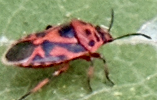
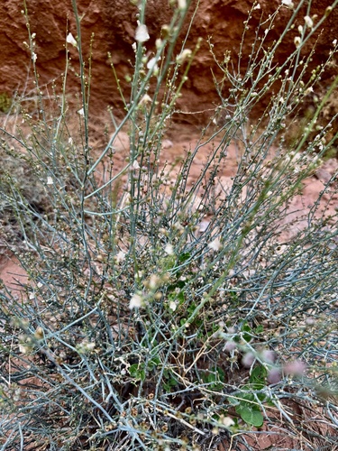
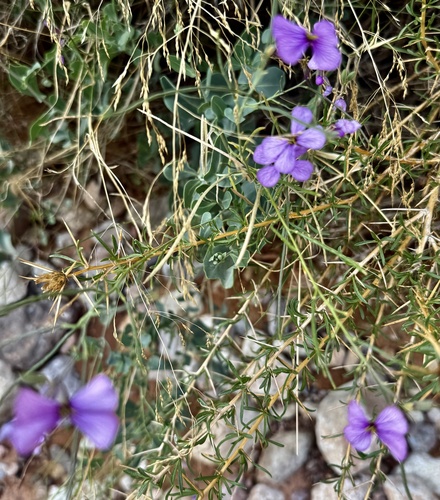
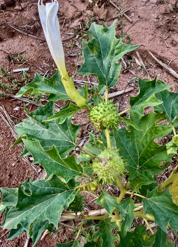
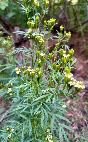
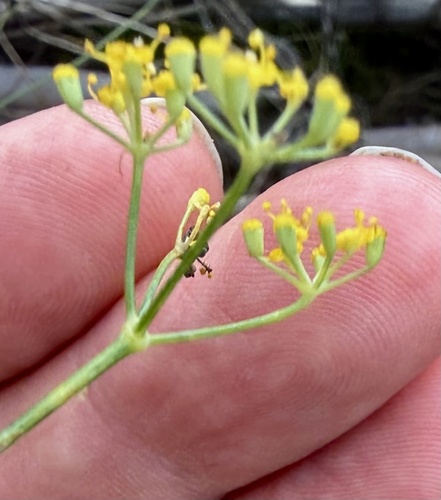
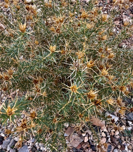
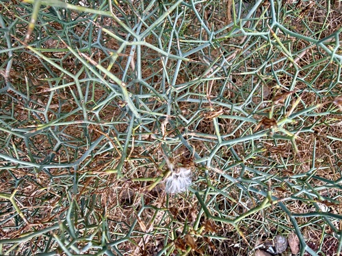
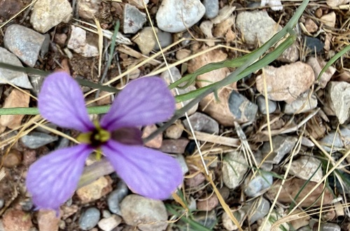
Research-grade observations from iNaturalist (within ~15 mi).
Events
Gallery
Sources
- • Wikipedia
- • Wikidata
- • USGS Earthquake Catalog (global feed)
- • GBIF (Global Biodiversity Information Facility)
- • iNaturalist
- • Open-Meteo / sunrise-sunset.org
- • Wikipedia Pageviews API