Browse / United States / Massachusetts / Chatham
Chatham
MassachusettsCDP

Chatham
Total population
1,600
Median home value
$1,866,800
Bachelor's+
Median income
$83,750
Founded
1665
Demographic figures from US Census Bureau · ACS 5-year estimates. Overview below cites Wikipedia and may reference a different year.
City facts
Facts from Wikidata (CC0).
Overview
Chatham is a town on Cape Cod in Massachusetts. Chatham is located at the southeastern tip of Cape Cod and has historically been a fishing community. First settled by the English in 1664, the township was originally called Monomoit based on the indigenous population's term for the region. Chatham was incorporated as a town on June 11, 1712, and has become a summer resort area. The population was 6,594 at the 2020 census and can swell to 25,000 during the summer months. There are four villages that comprise the town, those being Chatham (CDP), South Chatham, North Chatham, and West Chatham. Chatham is home to the Monomoy National Wildlife Refuge and the decommissioned Monomoy Point Light, both located on Monomoy Island. A popular attraction is the Chatham Light, which is an operational lighthouse that is operated by the United States Coast Guard.
Read more on WikipediaHistory & geography
History
Native American tribes who lived in the area before European colonization included the Nauset, specifically the Manomoy or Monomoy people. The expansive lands over which they roamed were known to them as Manamoyik or Monomoit. Explorer Samuel de Champlain landed there in October 1606 at a place he christened "Port Fortuné", where conflict arose with the Nauset. Twelve years later, another group of Europeans gave it the name "Sutcliffe's Inlets". Although urban sprawl has invaded the Cape, the town of Chatham still boasts a quaint and walkable Main Street, home to numerous family-owned and -operated shops, restaurants, and businesses. During the summer, concerts are held in a gazebo in Late Gould Park on Main Street. The town also hosts the Chatham Anglers baseball team as part of the Cape Cod Baseball League on the peninsula. The League is for collegiate-age players. Chatham, like much of Cape Cod, suffers from an exodus of young people and young families due to high housing prices and a lack of social and professional opportunities. The majority of homes in Chatham sit empty in the winter months until the summer when second-home owners come to use their summer/vacation homes. Some are used as weekly rentals for tourists. As of June 1, 2023, the average listing price for a home in Chatham was over $1.1 million US dollars. In summer, Chatham grows to a population of an estimated 30,000, making facilities overcrowded, and there is limited parking in the Main Street Business District. Parking for the beaches is also limited, and the town's most popular beach, Lighthouse Beach, has only off-street parking. * Atwood House (1752) * Caleb Nickerson House (1772) * Chatham Railroad Museum (1887) * Josiah Mayo House () chathamconservationfoundation.org * Chatham Marconi…
Geography
The town occupies the southeast corner (the "elbow") of Cape Cod. The town's villages include Chatham proper, Chatham Port, North Chatham, West Chatham, and South Chatham (west of West Chatham). Chatham is bordered by Harwich to the west, Pleasant Bay and Orleans to the north, the Atlantic Ocean to the east, and Nantucket Sound to the south. The town is south of Provincetown and east of the Sagamore Bridge, east of Barnstable, and southeast of Boston. According to the United States Census Bureau, the town has a total area of , of which is land and , or 33.88%, is water. The mainland portion of the town is typical of Cape Cod, with several ponds, brooks, rivers, harbors, and inlets around the town. The town includes two narrow strips of land that serve as a barrier between the Atlantic and the mainland; the northern of these is the southern part of the Cape Cod National Seashore. There are several islands, including Strong Island, Tern Island (which is a sanctuary), Morris Island, Stage Island, and Monomoy Island, a island south of the corner of the town which is home to the Monomoy National Wildlife Refuge. Erosion has changed the region over the years—for example, an island named Slut's Bush once existed until it vanished underwater by the mid-19th century.
Excerpted from the corresponding Wikipedia article (CC BY-SA).
Demographics & economy
Race & ethnicity
Source: US Census Bureau — American Community Survey, 5-year estimates.
Geography
Coordinates & boundaries from the US Census TIGER/Line shapefiles.
Climate
Current forecast
Forecast for Chatham, MA from NOAA NWS API.
Air quality
Industrial & pollution facilities
Natural hazard risk
Health (adults)
Age-adjusted prevalence estimates from CDC PLACES (latest release).
Walkability
Amenities nearby
Wildlife & biodiversity
Most-observed species
- Song SparrowMelospiza melodia (A.Wilson, 1810) · Aves26,617
- American herring gull, Smithsonian GullLarus smithsonianus Coues, 1862 · Aves24,777
- American CrowCorvus brachyrhynchos C.L.Brehm, 1822 · Aves24,341
- Black-capped ChickadeePoecile atricapillus (Linnaeus, 1766) · Aves22,146
- Blue JayCyanocitta cristata (Linnaeus, 1758) · Aves21,405
- Northern CardinalCardinalis cardinalis (Linnaeus, 1758) · Aves19,959
- American GoldfinchSpinus tristis (Linnaeus, 1758) · Aves18,716
- Great Black-backed GullLarus marinus Linnaeus, 1758 · Aves18,023
Citizen-science & research observations from the Global Biodiversity Information Facility (GBIF).
Schools
Largest nearby schools
- Monomoy Regional High SchoolHigh · Harwich · 702 students · 11.7:1 ratio
- Cape Cod Region Vocational TechnicalHigh · Harwich · 666 students · 10.6:1 ratio
- Nauset Regional MiddleMiddle · Orleans · 528 students · 9.8:1 ratio
- Harwich Elementary SchoolElementary · Harwich · 477 students · 10.8:1 ratio
- Monomoy Regional Middle SchoolMiddle · Chatham · 439 students · 10.5:1 ratio
- Ezra H Baker Innovation SchoolElementary · West Dennis · 340 students · 8.9:1 ratio
- Cape Cod Lighthouse Charter SchoolMiddle · East Harwich · 250 students · 11.9:1 ratio
- Stony Brook ElementaryElementary · Brewster · 230 students · 9.2:1 ratio
Public K–12 schools within ~10 mi from Urban Institute Education Data Portal (NCES Common Core of Data, 2022).
Earthquake history
Most recent
- M 3.6 — 2020-11-0810 km S of Bliss Corner, Massachusetts
- M 2.5 — 2005-11-174 km S of Plymouth, Massachusetts
- M 3 — 2002-03-1252 km E of Chatham, Massachusetts
Events from the USGS Earthquake Catalog (global) (FDSN Event Web Service).
Photos
Sights & places nearby
Notable people from here


People born within ~10 km, from Wikidata (CC0). Click any name for their Wikipedia article.
Geography & sun
Elevation, sunrise/sunset and daylight from Open-Meteo. Solar climatology from NASA POWER.
Nearby airports
Public attention
Pageview totals from the Wikimedia Pageviews API.
Books about Chatham

Search results from Open Library.
Recent natural events nearby
Ground air-quality sensors
Recently spotted species
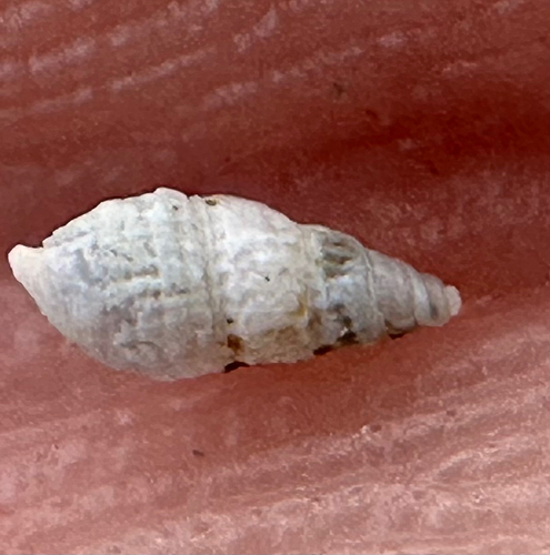
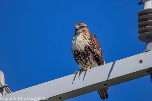
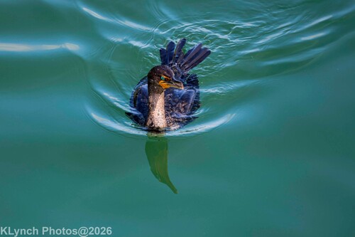
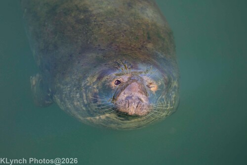
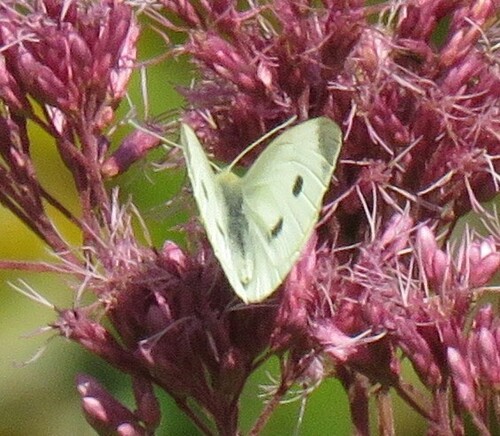
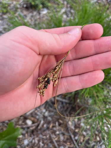
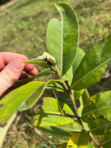
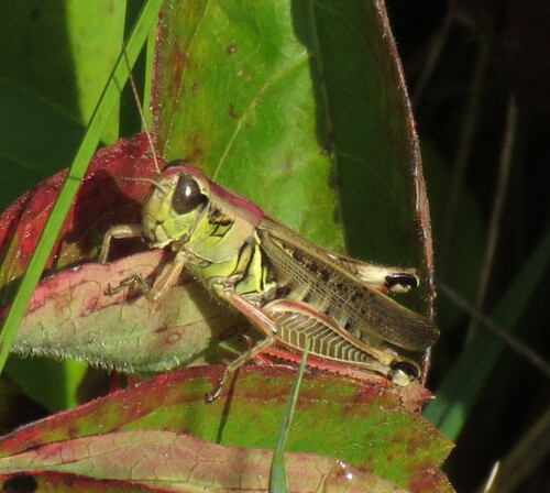
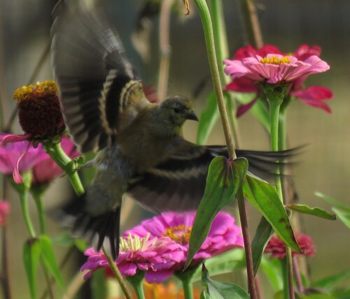
Research-grade observations from iNaturalist (within ~15 mi).
Nearest stream gauge
Live readings from USGS NWIS · measured 2026-09-18 07:45 UTC.
Events
Gallery
Sources
- • Wikipedia
- • US Census Bureau (ACS 5-year estimates)
- • NOAA National Weather Service
- • Wikidata
- • USGS Earthquake Catalog (global feed)
- • USGS NWIS (water data)
- • NCES via Urban Institute Education Data Portal
- • GBIF (Global Biodiversity Information Facility)
- • iNaturalist
- • CDC PLACES
- • Open-Meteo / sunrise-sunset.org
- • Wikipedia Pageviews API
- • Open Library