Browse / Morocco / Béni Mellal-Khénifra / Khenifra
Khenifra
Béni Mellal-Khénifracity

Khenifra
Total population
117,510
Demographic figures from HCP Morocco. Overview below cites Wikipedia and may reference a different year.
City facts
Overview
Khenifra is a city in northern central Morocco, surrounded by the Atlas Mountains and located on the Oum Er-Rbia River. National Highway 8 also goes through the town. The population, as of the 2024 census, was at 123,738.
Read more on WikipediaHistory & geography
Geography
Coordinates & boundaries from the US Census TIGER/Line shapefiles.
Climate
Air quality
Walkability
Amenities nearby
Wildlife & biodiversity
Most-observed species
- Yellow-veined SkimmerOrthetrum nitidinerve (Selys, 1841) · Insecta44
- Atlas GoldenringCordulegaster princeps Morton, 1916 · Insecta42
- Southern DamselflyCoenagrion mercuriale (Charpentier, 1840) · Insecta31
- Copper DemoiselleCalopteryx haemorrhoidalis (Vander Linden, 1825) · Insecta24
- Orange-winged dropwing, Scarlet rock glider, Kirby's dropwingTrithemis kirbyi Selys, 1891 · Insecta21
- Bibron's AgamaAgama impalearis Boettger, 1874 · Squamata18
- common tortoiseTestudo graeca Linnaeus, 1758 · Testudines13
- Mediterranean BluetCoenagrion caerulescens (Fonscolombe, 1838) · Insecta10
Citizen-science & research observations from the Global Biodiversity Information Facility (GBIF).
Earthquake history
Most recent
- M 4.7 — 2026-08-0361 km SW of Midelt, Morocco
- M 3.8 — 2025-05-2326 km W of Oulmes, Morocco
- M 4.5 — 2024-10-1522 km SE of Aïn Leuh, Morocco
- M 4 — 2014-05-1210 km ESE of Beni Mellal, Morocco
- M 4.2 — 2014-04-1517 km N of Ifrane, Morocco
- M 4.5 — 2013-05-3156 km ESE of Zawyat ech Cheïkh, Morocco
Events from the USGS Earthquake Catalog (global) (FDSN Event Web Service).
Photos
Sights & places nearby
Notable people from here


People born within ~10 km, from Wikidata (CC0). Click any name for their Wikipedia article.
Nearby places in Béni Mellal-Khénifra
- Malpica do Tejo476 mi away
- Vila Velha de Ródão477.4 mi away
- Cegonhas477.6 mi away
- Vilas Ruivas477.8 mi away
- Monforte da Beira478.8 mi away
- Gavião do Ródão478.9 mi away
- Lentiscais480.2 mi away
- Murteirinha481.3 mi away
- Cebolais de Cima482.4 mi away
- Vale Clérigo483.3 mi away
- Zebreira483.7 mi away
- Amarelos483.8 mi away
Geography & sun
Elevation, sunrise/sunset and daylight from Open-Meteo. Solar climatology from NASA POWER.
Nearby airports
Public attention
Pageview totals from the Wikimedia Pageviews API.
Books about Khenifra
Search results from Open Library.
Recent natural events nearby
Ground air-quality sensors
Recently spotted species
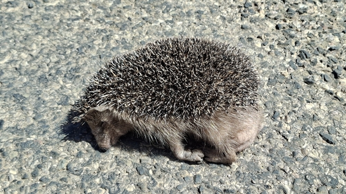
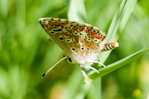
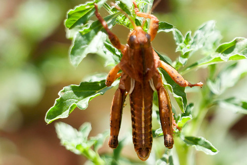
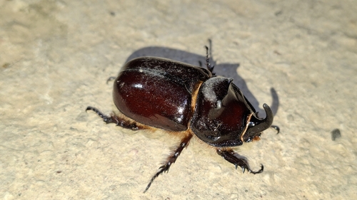
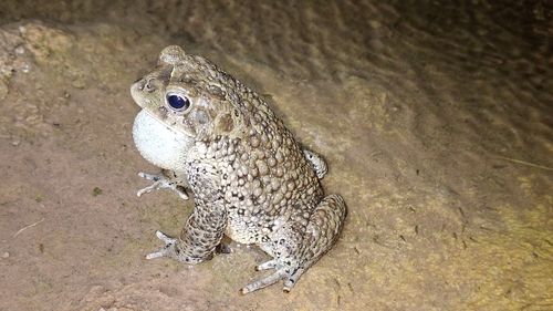
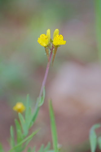
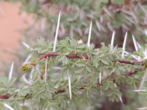
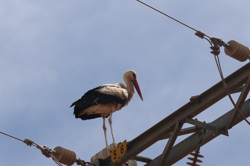
Research-grade observations from iNaturalist (within ~15 mi).
Events
Gallery
Sources
- • Wikipedia
- • Wikidata
- • USGS Earthquake Catalog (global feed)
- • GBIF (Global Biodiversity Information Facility)
- • iNaturalist
- • Open-Meteo / sunrise-sunset.org
- • Wikipedia Pageviews API
- • Open Library