Browse / Morocco / Drâa-Tafilalet / Ksar Ammar
Ksar Ammar
Drâa-Tafilaletvillage
Demographic figures from HCP Morocco. Overview below cites Wikipedia and may reference a different year.
City facts
Overview
Ksar Ammar, a village in Drâa-Tafilalet, Morocco, forms part of the country's settled landscape. Detailed population figures are not currently catalogued in the open data sources we track. Geographically it lies in the northern hemisphere at a warm temperate latitude (31.236°, -4.231°). Its latitude implies a climate characterised by warm summers and cool winters. Open solar datasets indicate about 2,144 kWh/m² of solar irradiance per year, combined with sunshine for roughly 84% of daylight hours. Read on for charts and tables covering demographics, climate, hazards, schools, wildlife and other open-data indicators for Ksar Ammar.
Summary composed automatically from structured open data on this page. See our Terms for details.
History & geography
Geography
Coordinates & boundaries from the US Census TIGER/Line shapefiles.
Climate
Air quality
Walkability
Amenities nearby
Wildlife & biodiversity
Most-observed species
- White-crowned WheatearOenanthe leucopyga (C.L.Brehm, 1855) · Aves1,419
- Brown-necked RavenCorvus ruficollis Lesson, 1831 · Aves1,294
- House SparrowPasser domesticus (Linnaeus, 1758) · Aves1,093
- Eurasian Collared-DoveStreptopelia decaocto (Frivaldszky, 1838) · Aves790
- Greater Hoopoe-LarkAlaemon alaudipes (Desfontaines, 1789) · Aves738
- Barn SwallowHirundo rustica Linnaeus, 1758 · Aves583
- Desert WheatearOenanthe deserti (Temminck, 1825) · Aves573
- Rock PigeonColumba livia J.F.Gmelin, 1789 · Aves470
Citizen-science & research observations from the Global Biodiversity Information Facility (GBIF).
Earthquake history
Events from the USGS Earthquake Catalog (global) (FDSN Event Web Service).
Photos
Sights & places nearby
Notable people from here


People born within ~10 km, from Wikidata (CC0). Click any name for their Wikipedia article.
Nearby places in Drâa-Tafilalet
- Oulad Abderrahmane0.5 mi away
- Ksar Jdid El Ghorfa1.3 mi away
- Asserghine1.6 mi away
- Sijilmasa1.9 mi away
- Ksar Manouga2.9 mi away
- Haroun5.8 mi away
- Aarab Sebbah Gheris13.7 mi away
- Hassilabied13.9 mi away
- Arab Sebbah Ziz15.7 mi away
- Ksar Tanamouste17.2 mi away
- Zaouida Jdida26.3 mi away
- Zaouida Lakdima26.3 mi away
Geography & sun
Elevation, sunrise/sunset and daylight from Open-Meteo. Solar climatology from NASA POWER.
Nearby airports
Public attention
Books about this place
Recent natural events nearby
Ground air-quality sensors
Recently spotted species
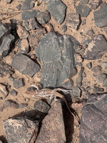
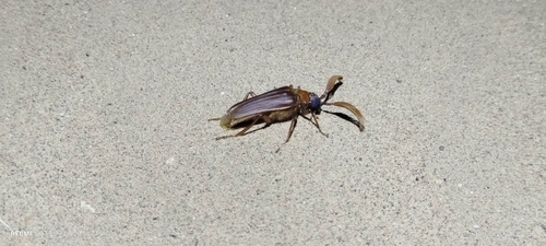
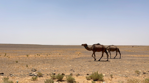
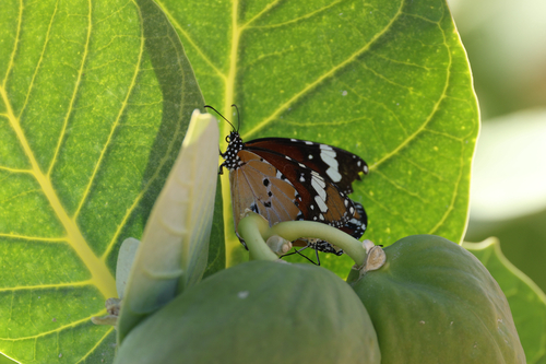
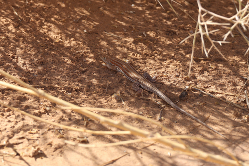
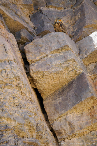
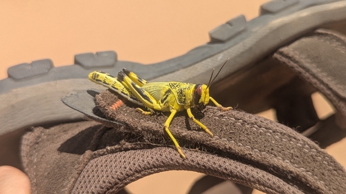
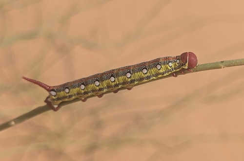
Research-grade observations from iNaturalist (within ~15 mi).
Events
Gallery
Sources
- • Wikidata
- • USGS Earthquake Catalog (global feed)
- • GBIF (Global Biodiversity Information Facility)
- • iNaturalist
- • Open-Meteo / sunrise-sunset.org