Browse / United States / Massachusetts / Melrose
Melrose
Massachusettscity

Melrose
Total population
29,650
Median home value
$822,900
Bachelor's+
Median income
$133,953
Founded
1629
Demographic figures from US Census Bureau · ACS 5-year estimates. Overview below cites Wikipedia and may reference a different year.
- Wind Advisory · ModerateWind Advisory issued September 25 at 12:30PM EDT until September 27 at 8:00AM EDT by NWS Boston/Norton MA
Source: NOAA National Weather Service.
City facts
Facts from Wikidata (CC0).
Overview
Melrose is a city located in the Greater Boston metropolitan area in Middlesex County, Massachusetts, United States. Its population as of the 2020 census was 29,817. It is a suburb located approximately seven miles north of Boston. It is situated in the center of the triangle created by Interstates 93, 95 and U.S. Route 1.
Read more on WikipediaHistory & geography
History
Melrose was originally called "Ponde Fielde" for its abundance of ponds and streams or "Mystic Side" because of its location in a valley north of the Mystic River. The area was first explored by Richard and Ralph Sprague in 1628 and became part of Charlestown in 1633 along with a large area of land encompassing most of the surrounding communities. In 1649, the neighborhood of Charlestown known as Malden was incorporated as a separate town; the new town of Malden included most of present-day Melrose (then called North Malden) within its borders. North Malden largely remained a lightly populated farming community. By 1845, the Boston and Maine Railroad had built three stops (now the commuter rail stations of Wyoming Hill, Melrose/Cedar Park, and Melrose Highlands). Boston workers in search of a country atmosphere moved to the area and began commuting to work. The population of North Malden began growing, and in 1850 North Malden split from Malden proper and was incorporated as the town of Melrose. The town then annexed the highlands from neighboring Stoneham in 1853, creating the city's current borders. The name "Melrose" comes from the burgh of Melrose, Scotland. It was a reference to the Eildon hills of Melrose, Scotland, which the new town resembled. The name was suggested and advocated for by William Bogle, a Scotland native and longtime resident of North Malden. The population of Melrose continued to grow throughout the second half of the nineteenth century. Farmland was increasingly partitioned into smaller parcels for residences and businesses. The fire department and the town's school district were founded, and the town hall was built in 1873. In 1899, the City of Melrose became the 33rd incorporated city in Massachusetts. Levi S. Gould became the city's first…
Geography
Melrose is located at (42.459045, −71.062339). According to the United States Census Bureau, the city has a total area of , of which is land and , or 1.26%, is water. The city's largest body of water is Ell Pond, situated near the center of the city, while other major bodies are Swains Pond and Towners Pond, located on the east side near Mount Hood Golf Club. Melrose is approximately north of Boston, Massachusetts. It borders four cities and towns: Malden, Saugus, Stoneham, and Wakefield. Major geographic features include Ell Pond, Swains Pond, Sewall Woods, Mount Hood, Boston Rock, Pine Banks Park, and the eastern reaches of the Middlesex Fells Reservation. The writer Elizabeth George Speare, who was born in Melrose, wrote of her hometown: "Melrose was an ideal place in which to have grown up, close to fields and woods where we hiked and picnicked, and near to Boston where we frequently had family treats of theaters and concerts." * Cedar Park * Downtown Melrose * East Side * Horace Mann * Melrose Highlands * Mount Hood * Oak Grove/Pine Banks * Wyoming File:The Gazebo at Ell Pond Park.jpg|alt=The Gazebo at Ell Pond Park|The Gazebo at Ell Pond Park File:MelroseNeighborhoodMap.jpg|The neighborhoods of Melrose File:Melrose Highlands Congregational Church 09 12 2026.jpg|Melrose Highlands Congregational Church, a church in Melrose Highlands, 2026
Excerpted from the corresponding Wikipedia article (CC BY-SA).
Demographics & economy
Race & ethnicity
Source: US Census Bureau — American Community Survey, 5-year estimates.
Geography
Coordinates & boundaries from the US Census TIGER/Line shapefiles.
Climate
Current forecast
Forecast for Melrose, MA from NOAA NWS API.
Air quality
Industrial & pollution facilities
Natural hazard risk
Health (adults)
Walkability
Amenities nearby
Wildlife & biodiversity
Schools
Earthquake history
Photos
Sights & places nearby
Notable people from here


People born within ~10 km, from Wikidata (CC0). Click any name for their Wikipedia article.
Geography & sun
Elevation, sunrise/sunset and daylight from Open-Meteo. Solar climatology from NASA POWER.
Nearby airports
Public attention
Pageview totals from the Wikimedia Pageviews API.
Books about Melrose


Search results from Open Library.
Recent natural events nearby
Ground air-quality sensors
Recently spotted species
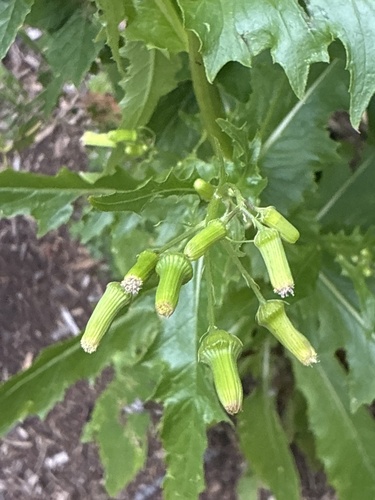
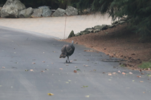
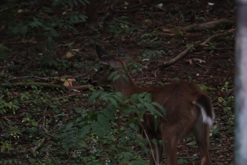
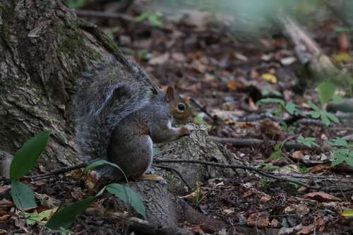
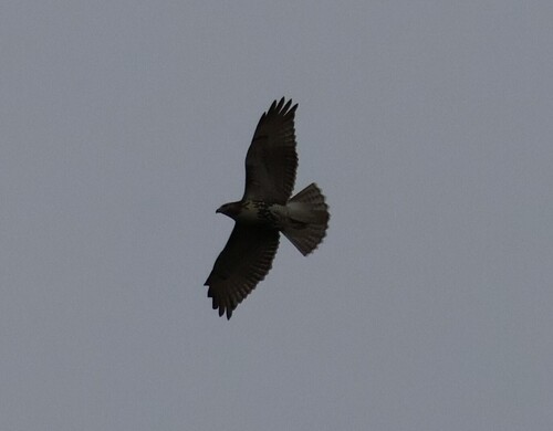
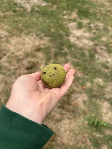
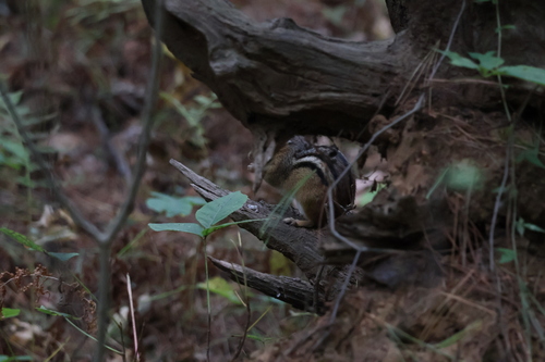
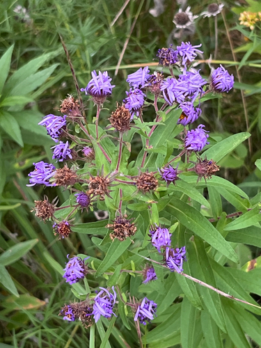
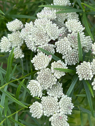
Research-grade observations from iNaturalist (within ~15 mi).
Nearest stream gauge
Events
Gallery
Sources
- • Wikipedia
- • US Census Bureau (ACS 5-year estimates)
- • NOAA National Weather Service
- • Wikidata
- • iNaturalist
- • Open-Meteo / sunrise-sunset.org
- • Wikipedia Pageviews API
- • Open Library
- • Wikidata SPARQL (CC0) — population, area, elevation, inception, head of government, Commons image