Browse / Morocco / Drâa-Tafilalet / Mibladen
Mibladen
Drâa-Tafilaletvillage
Demographic figures from HCP Morocco. Overview below cites Wikipedia and may reference a different year.
City facts
Overview
Mibladen, a village in Drâa-Tafilalet, Morocco, forms part of the country's settled landscape. Detailed population figures are not currently catalogued in the open data sources we track. Coordinates of 32.766°, -4.630° situate Mibladen in the warm-temperate zone of the northern hemisphere. Its latitude implies a climate characterised by warm summers and cool winters. Open solar datasets indicate about 2,062 kWh/m² of solar irradiance per year, combined with sunshine for roughly 81% of daylight hours. Continue scrolling for population, climate, environmental and points-of-interest data drawn from public sources.
Summary composed automatically from structured open data on this page. See our Terms for details.
History & geography
Geography
Coordinates & boundaries from the US Census TIGER/Line shapefiles.
Climate
Air quality
Walkability
Amenities nearby
Wildlife & biodiversity
Most-observed species
- Barn SwallowHirundo rustica Linnaeus, 1758 · Aves28
- Tristram's WarblerSylvia deserticola Tristram, 1859 · Aves27
- Moussier's RedstartPhoenicurus moussieri (Olphe-Galliard, 1852) · Aves26
- House SparrowPasser domesticus (Linnaeus, 1758) · Aves21
- Common House-MartinDelichon urbicum (Linnaeus, 1758) · Aves20
- Eurasian BlackbirdTurdus merula Linnaeus, 1758 · Aves19
- Eurasian Collared-DoveStreptopelia decaocto (Frivaldszky, 1838) · Aves19
- Rock PigeonColumba livia J.F.Gmelin, 1789 · Aves18
Citizen-science & research observations from the Global Biodiversity Information Facility (GBIF).
Earthquake history
Most recent
- M 4.7 — 2026-08-0361 km SW of Midelt, Morocco
- M 4.5 — 2024-10-1522 km SE of Aïn Leuh, Morocco
- M 4.2 — 2022-01-24Fes-Boulemane, Morocco
- M 4.3 — 2020-02-1647 km E of Midelt, Morocco
- M 4.2 — 2019-11-1746 km ESE of Midelt, Morocco
- M 5 — 2019-11-1746 km E of Midelt, Morocco
Events from the USGS Earthquake Catalog (global) (FDSN Event Web Service).
Photos
Sights & places nearby
Notable people from here
Nearby places in Drâa-Tafilalet
- Ksar Taddamoute9.7 mi away
- Ait Ouloussane19.5 mi away
- Aït Sidi Amar20.5 mi away
- Zaouia Sidi Bou Moussa26.9 mi away
- Sidi Aayad32.3 mi away
- Ait Yaqoub34.1 mi away
- Boutkhoubay(Tizi N'Ghachou)34.4 mi away
- Aghbalou N'Cerdane39.2 mi away
- Ait AAttou39.3 mi away
- Guers Tiallaline39.4 mi away
- Anfergal40.8 mi away
- Agoudim41.5 mi away
Geography & sun
Elevation, sunrise/sunset and daylight from Open-Meteo. Solar climatology from NASA POWER.
Nearby airports
Public attention
Pageview totals from the Wikimedia Pageviews API.
Books about this place
Recent natural events nearby
Ground air-quality sensors
Recently spotted species
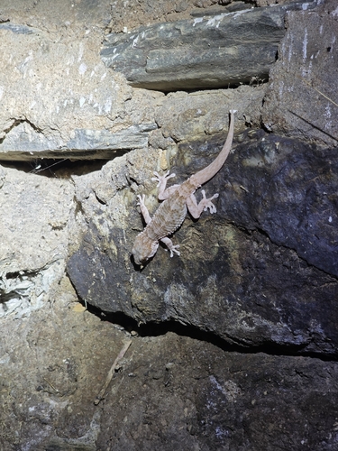
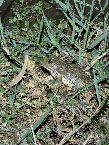
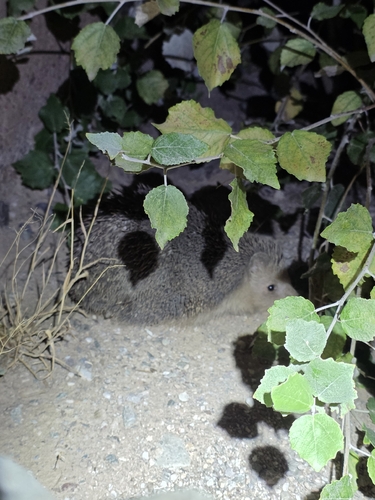
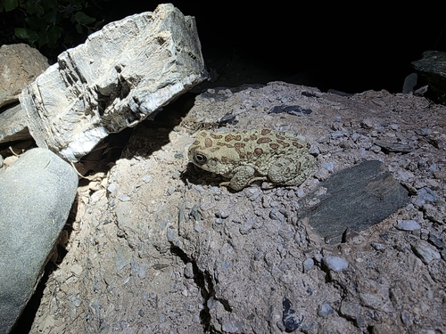
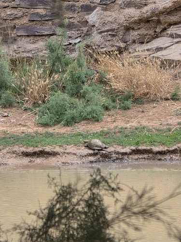
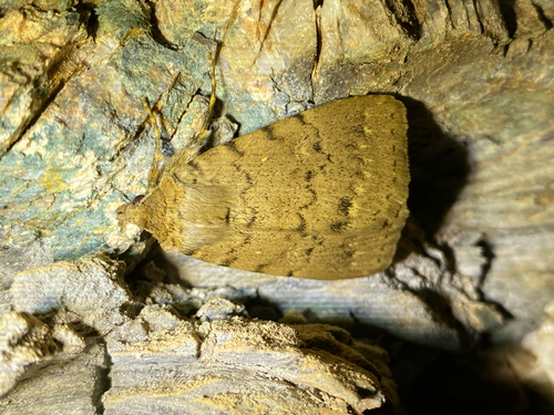
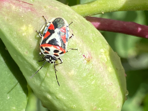
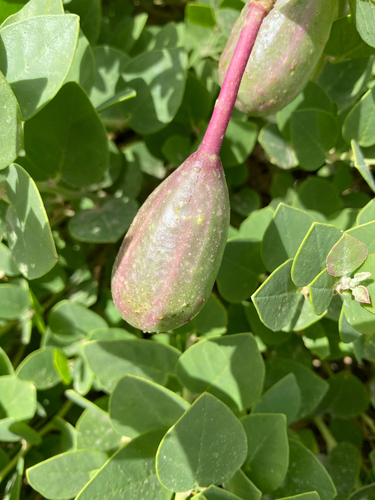
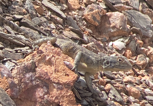
Research-grade observations from iNaturalist (within ~15 mi).
Events
Gallery
Sources
- • Wikidata
- • USGS Earthquake Catalog (global feed)
- • GBIF (Global Biodiversity Information Facility)
- • iNaturalist
- • Open-Meteo / sunrise-sunset.org
- • Wikipedia Pageviews API