Browse / Morocco / Casablanca-Settat / Mohammedia
Mohammedia
Casablanca-Settatcity

Mohammedia
Total population
322,286
Demographic figures from HCP Morocco. Overview below cites Wikipedia and may reference a different year.
City facts
Sister cities
Facts from Wikidata (CC0).
Overview
Mohammedia, known until 1960 as Fedala, is a major port city on the west coast of Morocco between Casablanca and Rabat in the region of Casablanca-Settat.
Read more on WikipediaHistory & geography
History
The harbor, which is now Mohammedia, was originally named Fedala (). The name comes from the Arabic words Fadl Allah () which means "favor of God". According to Graberg de Hemsö, it comes from Fayḍ Allāh, meaning "bounty of God". Traces still exist of its business role under the Almoravid dynasty. It was frequented in the 14th and 15th centuries by merchant ships from Europe seeking cereals and dried fruits. In 1773, the Sultan Sidi Mohammed ben Abdallah made of Fédala a grains warehouse of Tamasna province and built the Kasbah to protect the shops for traders. He built the white mosque Al Atik as well. During the precolonial period, competition between the Western powers to ensure the economical exploitation of Africa was behind the merger of Europeans interests in the ports of Morocco. In the region of Fédala, the German family Mannesmann acquired a large area of land. The Treaty of November 4, 1911 between France and Germany on the partition of Africa forced the Mannesmann family to abandon the lands they held for Georges and Jacques Hersent, two French industrialists, who noticed the existence of a natural bay, valuable for the creation of a large port at low cost. The group Hersent created the Franco-Moroccan company in 1912 and founded the port company in 1914 that took a leading part in the development of Fédala. The rapid growth of the city started around the port, which allowed the development of various industries such as canning fishery products, agro-industry plants, tannery, textile, etc.. The seaside town took shape in 1925 and the Esplanade was built in 1938. The construction of the sea line in 1951 made of Fédala the first and most modern oil port in North Africa. The church of Saint James (Saint Jacques), which overlooks the main square, was…
Geography
Mohammedia lies along the Atlantic Ocean Northeast of Casablanca. It is located between the outlets of the Rivers Oued El-Maleh and Oued Nfifikh and is bordered by the Atlantic Ocean to the North, Ben Slimane Province to the East and South, and the prefecture of Sidi Bernoussi-Zenata to the West. Mohammedia has a hot-summer Mediterranean climate (Köppen climate classification Csa). The moderating effect of the Atlantic Ocean influences strongly on the city climate and makes its winter soft and warm, and its summer hot and cool. Mohammedia enjoys plenty of sunshine throughout the year with measurable precipitation annually. The period of November through April is mild and rainy with average high temperatures of and lows of , however temperatures can occasionally drop to around in the morning, or be as high as for a few days during winter. The period of May through October is warm to hot and dry with average high temperatures of and lows of , but temperatures can exceed and occasionally reach . Most rainfall occurs from November to April, and the average annual precipitation is around 432 mm. Precipitation is most commonly in the form of light rain showers, but sometimes there is heavy rainfall and thunderstorms.
Excerpted from the corresponding Wikipedia article (CC BY-SA).
Geography
Coordinates & boundaries from the US Census TIGER/Line shapefiles.
Climate
Air quality
Walkability
Amenities nearby
Wildlife & biodiversity
Earthquake history
Photos
Sights & places nearby
Notable people from here


People born within ~10 km, from Wikidata (CC0). Click any name for their Wikipedia article.
Nearby places in Casablanca-Settat
- Lamharza Essahel47 mi away
- Douar Niyam47.7 mi away · pop. 288
- Mzoura مزورة65.8 mi away
- Douar Chbanate ⴷⵓⴰⵔ ⵛⴱⴰⵏⴰⵟ دوار الشبانات72.7 mi away
- Sidi Bennour93.8 mi away · pop. 39,593
- Portela do Fojo436 mi away
- Machio437.8 mi away
- Alvares438.6 mi away
- Santa Eufémia440.2 mi away
- Degracias440.6 mi away
- Rabaçal441.7 mi away
- Vila Nova442.4 mi away
Geography & sun
Elevation, sunrise/sunset and daylight from Open-Meteo. Solar climatology from NASA POWER.
Nearby airports
Public attention
Pageview totals from the Wikimedia Pageviews API.
Books about this place
Recent natural events nearby
Ground air-quality sensors
Recently spotted species
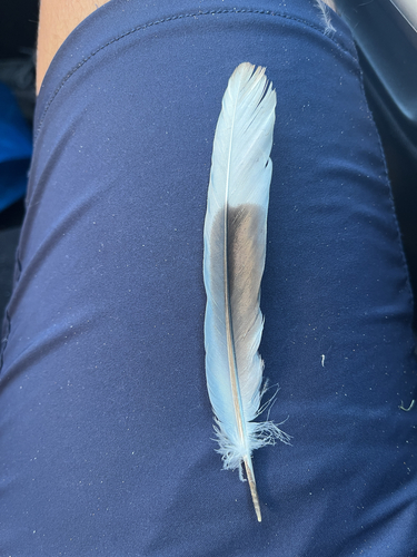
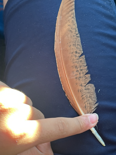
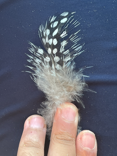
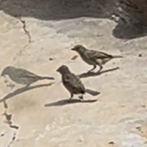
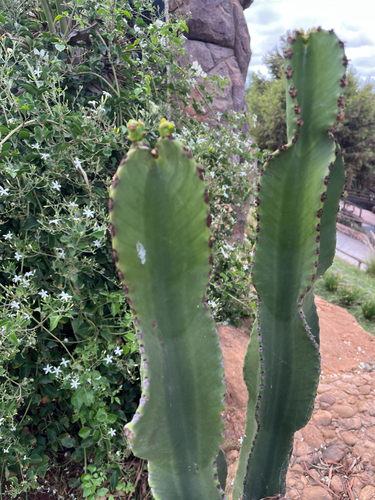
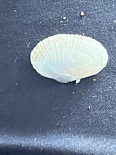
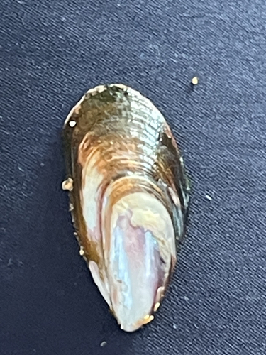
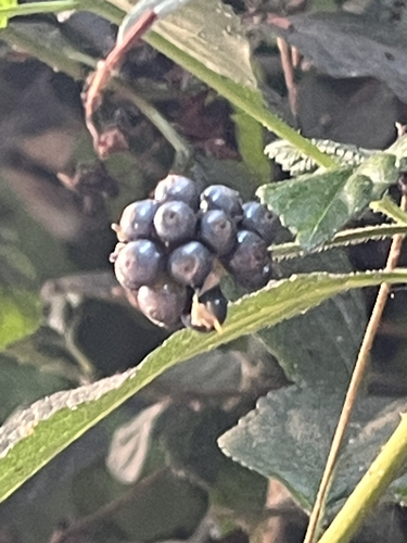
Research-grade observations from iNaturalist (within ~15 mi).
Events
Gallery
Sources
- • Wikipedia
- • Wikidata
- • iNaturalist
- • Open-Meteo / sunrise-sunset.org
- • Wikipedia Pageviews API