Browse / United States / Massachusetts / New Bedford
New Bedford
Massachusettscity

New Bedford
Total population
101,313
Median home value
$395,400
Bachelor's+
Median income
$57,240
Founded
1640
Air quality index
Demographic figures from US Census Bureau · ACS 5-year estimates. Overview below cites Wikipedia and may reference a different year.
- Rip Current Statement · ModerateRip Current Statement issued September 22 at 1:58AM EDT until September 22 at 8:00PM EDT by NWS Boston/Norton MA
Source: NOAA National Weather Service.
City facts
Sister cities
Facts from Wikidata (CC0).
Overview
New Bedford is a city in Bristol County, Massachusetts, United States. It is located on the Acushnet River in what is known as the South Coast region, abutting Buzzards Bay. At the 2020 census, New Bedford had a population of 101,079, making it the state's ninth-largest city and the largest of the South Coast region. It is the second-largest city in the Providence metropolitan area and included in the greater Boston combined statistical area.
Read more on WikipediaHistory & geography
History
Before the 17th century, the lands along the Acushnet River were inhabited by the Wampanoag Native Americans, who had settlements throughout southeastern Massachusetts and Rhode Island, including Martha's Vineyard and Nantucket. Their population is believed to have been about 12,000. On May 15, 1602, English explorer Bartholomew Gosnold in the ship Concord landed on Cuttyhunk Isla In 1652, English colonists purchased Old Dartmouth—a region of that is now Dartmouth, Acushnet, New Bedford, Fairhaven, and Westport—in a treaty between the Wampanoag, represented by Chief Ousamequin (Massasoit) and his son Wamsutta, and John Winslow, William Bradford, Myles Standish, Thomas Southworth, and John Cooke. They had faced persecution in the Puritan communities of Plymouth Colony and Massachusetts Bay Colony; the latter banned the Quakers in 1656–1657. When the Massachusetts Bay Colony annexed the Plymouth Colony in 1691, Quakers already represented a majority of the population of Old Dartmouth. One reason for this is that the inhabitants enjoyed their independence from the Plymouth Colony and they did not want the Plymouth court to appoint them a minister. In this conflict, Wampanoag tribesmen, allied with the Narragansett and the Nipmuc, raided Old Dartmouth and other European settlements in the area. A section of Old Dartmouth near the west bank of the Acushnet River, originally called Bedford Village, was officially incorporated as the town of New Bedford on February 23, 1787, after the American Revolutionary War. The name was suggested by the Russell family, who were prominent citizens of the community. The Dukes of Bedford, a leading English aristocratic house, also bore the surname Russell. (Bedford, Massachusetts, had been incorporated in 1729; hence "New" Bedford.) The…
Geography
New Bedford is located at (41.651803, −70.933705). According to the United States Census Bureau, the city has a total area of . Of the total area, is land, and , or 17.13%, is water. New Bedford is a coastal city, a seaport, bordered on the west by Dartmouth, on the north by Freetown, on the east by Acushnet and Fairhaven, and on the south by Buzzards Bay. From New Bedford's northern border with Freetown to the Buzzards Bay coast at Clark's Point the distance is approximately . Across New Bedford east to west is a distance of about . The highest point in the city is an unnamed hill crossed by Interstate 195 and Hathaway Road west of downtown, with an elevation greater than above sea level. The Port of New Bedford, also known as New Bedford Harbor, a body of water shared with the town of Fairhaven is the estuary of the Acushnet River where it empties into Buzzards Bay. The river empties into the bay beyond Clark's Point, the southernmost point of the city. To the west of Clark's Point is Clark's Cove, which extends landward approximately one and one-half miles from the bay. Just south of Palmer's Island, beginning near Fort Phoenix in Fairhaven, lies a two-mile-long hurricane barrier, constructed in the 1960s to protect the inner harbor where the fishing fleet anchors. Along with Palmer's Island, the city also lays claim to Fish Island and Pope's Island. Between these two islands lies one of the three sections, the central section, of the Roland J. Herbert Bridge (colloquially known as the New Bedford-Fairhaven Bridge). The central span, a swing bridge, connects the two islands as well as allowing boats and ships passage to the upper harbor. Two conventional bridges connect each of the islands to the nearest mainland, Fish Island to New Bedford and Pope's Island to…
Excerpted from the corresponding Wikipedia article (CC BY-SA).
Demographics & economy
Race & ethnicity
Source: US Census Bureau — American Community Survey, 5-year estimates.
Geography
Coordinates & boundaries from the US Census TIGER/Line shapefiles.
Climate
Current forecast
Forecast for New Bedford, MA from NOAA NWS API.
Air quality
Current readings from Open-Meteo Air Quality API (Copernicus CAMS European reanalysis).
Industrial & pollution facilities
Natural hazard risk
Health (adults)
Age-adjusted prevalence estimates from CDC PLACES (latest release).
Walkability
Amenities nearby
Wildlife & biodiversity
Most-observed species
- Song SparrowMelospiza melodia (A.Wilson, 1810) · Aves20,115
- American RobinTurdus migratorius Linnaeus, 1766 · Aves18,464
- Northern CardinalCardinalis cardinalis (Linnaeus, 1758) · Aves18,110
- Blue JayCyanocitta cristata (Linnaeus, 1758) · Aves17,457
- Carolina WrenThryothorus ludovicianus (Latham, 1790) · Aves16,067
- American CrowCorvus brachyrhynchos C.L.Brehm, 1822 · Aves15,780
- Black-capped ChickadeePoecile atricapillus (Linnaeus, 1766) · Aves15,483
- Mourning DoveZenaida macroura (Linnaeus, 1758) · Aves14,983
Citizen-science & research observations from the Global Biodiversity Information Facility (GBIF).
Schools
Largest nearby schools
- New Bedford HighHigh · New Bedford · 2,898 students · 14.3:1 ratio
- Gr New Bedford Vocational TechnicalHigh · New Bedford · 2,095 students · 10.9:1 ratio
- Normandin Middle SchoolMiddle · New Bedford · 1,051 students · 12.7:1 ratio
- Alma del Mar Charter SchoolElementary · New Bedford · 1,038 students · 13.1:1 ratio
- Dartmouth HighHigh · Dartmouth · 979 students · 13.2:1 ratio
- Keith Middle SchoolMiddle · New Bedford · 870 students · 9.6:1 ratio
- Westport Middle-High SchoolHigh · Westport · 832 students · 11.9:1 ratio
- Dartmouth MiddleMiddle · North Dartmouth · 804 students · 10.6:1 ratio
Public K–12 schools within ~10 mi from Urban Institute Education Data Portal (NCES Common Core of Data, 2022).
Earthquake history
Most recent
- M 3.6 — 2020-11-0810 km S of Bliss Corner, Massachusetts
- M 2.6 — 2015-01-132 km E of Wauregan, Connecticut
- M 3.3 — 2015-01-120 km NE of Wauregan, Connecticut
- M 2.5 — 2005-11-174 km S of Plymouth, Massachusetts
- M 2.5 — 2002-06-073 km NNW of Hopedale, Massachusetts
Events from the USGS Earthquake Catalog (global) (FDSN Event Web Service).
Photos
Sights & places nearby
Notable people from here


People born within ~10 km, from Wikidata (CC0). Click any name for their Wikipedia article.
Nearby places in Massachusetts
- Ocean Grove14.8 mi away · pop. 3,453
- Bourne17.3 mi away · pop. 1,806
- Duxbury29.6 mi away · pop. 1,994
- Yarmouth Port37.1 mi away · pop. 5,961
- Harwich Center45 mi away · pop. 1,774
- Cochituate50.7 mi away
- Peabody60.3 mi away · pop. 54,695
- Boxford69.3 mi away · pop. 2,284
- Amesbury Town82.2 mi away
- Chicopee91.2 mi away · pop. 55,295
- Deerfield105 mi away · pop. 458
- Cheshire129.9 mi away · pop. 674
Geography & sun
Elevation, sunrise/sunset and daylight from Open-Meteo. Solar climatology from NASA POWER.
Nearby airports
Public attention
Pageview totals from the Wikimedia Pageviews API.
Books about New Bedford
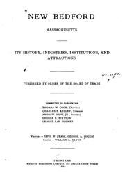

Search results from Open Library.
Recent natural events nearby
Ground air-quality sensors
Recently spotted species
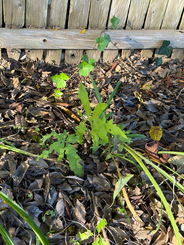
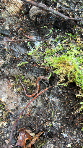
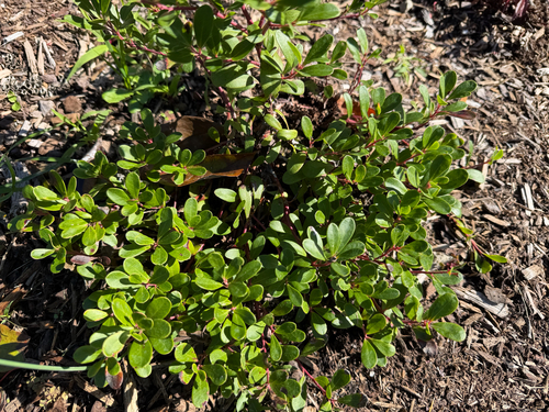
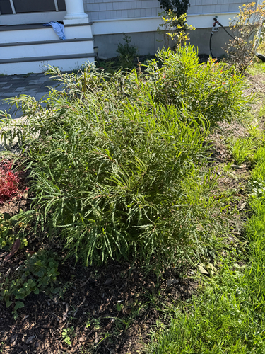
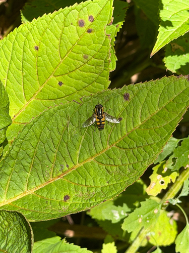
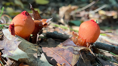
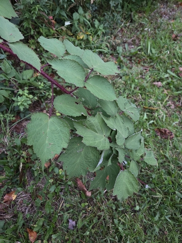
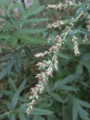
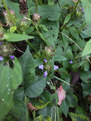
Research-grade observations from iNaturalist (within ~15 mi).
Nearest stream gauge
Live readings from USGS NWIS · measured 2026-10-06 23:00 UTC.
Events
Gallery
Sources
- • Wikipedia
- • US Census Bureau (ACS 5-year estimates)
- • NOAA National Weather Service
- • Wikidata
- • Open-Meteo Air Quality (CAMS)
- • USGS Earthquake Catalog (global feed)
- • USGS NWIS (water data)
- • NCES via Urban Institute Education Data Portal
- • GBIF (Global Biodiversity Information Facility)
- • iNaturalist
- • CDC PLACES
- • Open-Meteo / sunrise-sunset.org
- • Wikipedia Pageviews API
- • Open Library
- • Wikidata SPARQL (CC0) — population, area, elevation, inception, head of government, Commons image