Browse / Morocco / Rabat-Salé-Kénitra / Oued El Makhazine
Oued El Makhazine
Rabat-Salé-Kénitravillage
Air quality index
Demographic figures from HCP Morocco. Overview below cites Wikipedia and may reference a different year.
City facts
Overview
Oued El Makhazine is a small town and rural commune in Kénitra Province of the Rabat-Salé-Kénitra region of Morocco. At the time of the 2004 census, the commune had a total population of 8384 people living in 1704 households.
Read more on WikipediaHistory & geography
Geography
Coordinates & boundaries from the US Census TIGER/Line shapefiles.
Climate
Air quality
Current readings from Open-Meteo Air Quality API (Copernicus CAMS European reanalysis).
Walkability
Amenities nearby
Wildlife & biodiversity
Most-observed species
- White StorkCiconia ciconia (Linnaeus, 1758) · Aves8
- Cattle EgretBubulcus ibis (Linnaeus, 1758) · Aves5
- Eurasian BlackbirdTurdus merula Linnaeus, 1758 · Aves5
- Glossy IbisPlegadis falcinellus (Linnaeus, 1766) · Aves4
- Black-winged StiltHimantopus himantopus (Linnaeus, 1758) · Aves4
- Eurasian KestrelFalco tinnunculus Linnaeus, 1758 · Aves4
- Long-legged BuzzardButeo rufinus (Cretzschmar, 1829) · Aves3
- Common BulbulPycnonotus barbatus (Desfontaines, 1789) · Aves3
Citizen-science & research observations from the Global Biodiversity Information Facility (GBIF).
Earthquake history
Most recent
- M 4 — 2026-03-065 km ESE of Ouezzane, Morocco
- M 4.1 — 2025-12-2419 km N of Meknès, Morocco
- M 5.1 — 2025-02-1025 km N of Ouezzane, Morocco
- M 4.2 — 2024-02-0429 km SSE of Ouezzane, Morocco
- M 4.3 — 2020-09-063 km SE of Tétouan, Morocco
- M 4.5 — 2020-07-0134 km WSW of Taounate, Morocco
Events from the USGS Earthquake Catalog (global) (FDSN Event Web Service).
Photos
Sights & places nearby
Notable people from here
Nearby places in Rabat-Salé-Kénitra
- Moulay Bousselham26.2 mi away · pop. 26,608
- Tiflet73.6 mi away · pop. 69,604
- Skhirat98.6 mi away · pop. 43,025
- Assares451.3 mi away · pop. 141
- Vale de Telhas471.5 mi away · pop. 289
- São Pedro de Sarracenos478.2 mi away · pop. 366
- Sobreiro de Baixo484.9 mi away · pop. 307
- Guesba Ben Guelouh707 mi away
- Sidi R'ghiss726 mi away
- Ferme - farhat hmida737.5 mi away · pop. 520
- Fkirina742 mi away
- Ain Ferhat751.7 mi away
Geography & sun
Elevation, sunrise/sunset and daylight from Open-Meteo. Solar climatology from NASA POWER.
Nearby airports
Public attention
Pageview totals from the Wikimedia Pageviews API.
Books about this place
Recent natural events nearby
Ground air-quality sensors
Recently spotted species
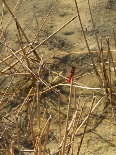
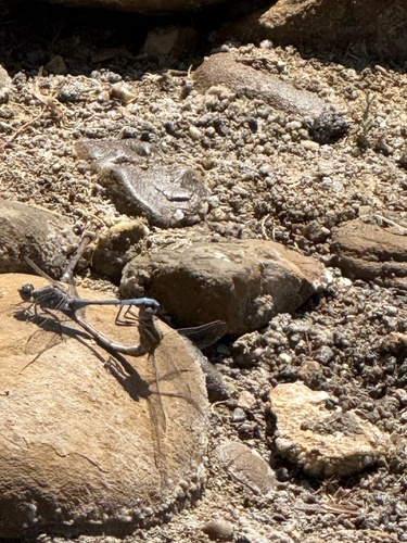
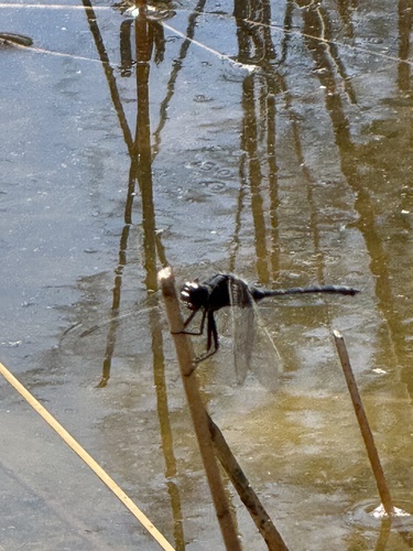
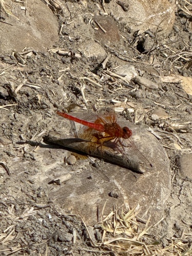
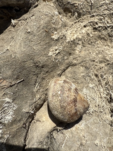
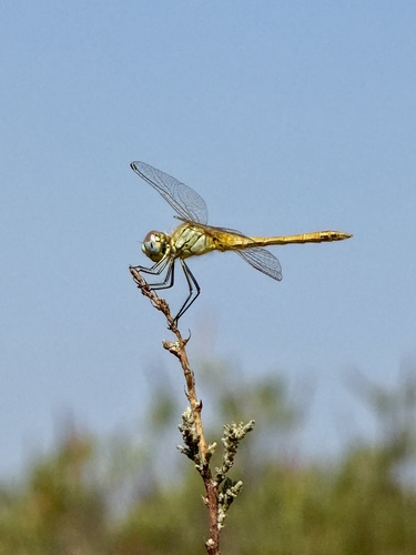
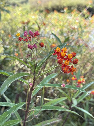
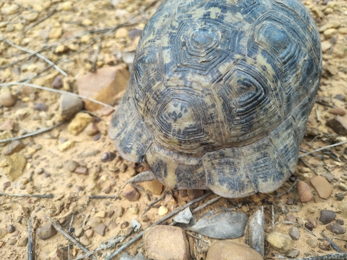
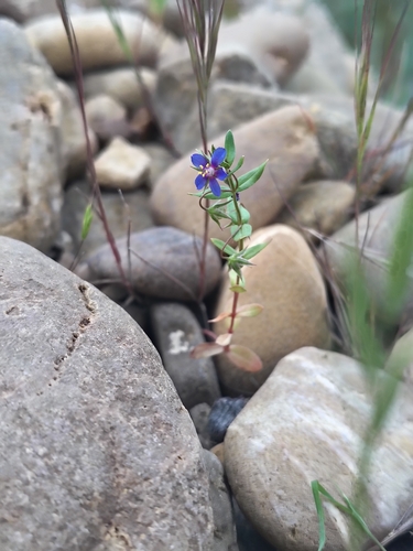
Research-grade observations from iNaturalist (within ~15 mi).
Events
Gallery
Sources
- • Wikipedia
- • Open-Meteo Air Quality (CAMS)
- • USGS Earthquake Catalog (global feed)
- • GBIF (Global Biodiversity Information Facility)
- • iNaturalist
- • Open-Meteo / sunrise-sunset.org
- • Wikipedia Pageviews API