Browse / Morocco / Rabat-Salé-Kénitra / Sidi Allal El Bahraoui
Sidi Allal El Bahraoui
Rabat-Salé-Kénitratown
Air quality index
Demographic figures from HCP Morocco. Overview below cites Wikipedia and may reference a different year.
City facts
Overview
Found in Rabat-Salé-Kénitra, Morocco, Sidi Allal El Bahraoui is classified as a town in public datasets. Up-to-date population figures for this locality are not available in the open datasets we monitor. Located at 34.011°, -6.532°, Sidi Allal El Bahraoui occupies a warm-temperate portion of the northern hemisphere. Local weather statistics describe average highs near 77.6°F and lows near 55.8°F, alongside about 20.1 in of annual precipitation (a relatively dry total). Solar-resource estimates put the area at about 1,880 kWh/m² of solar irradiance per year with sunshine for roughly 74% of daylight hours. The latitude suggests warm summers and cool winters. Detailed open-data panels follow, covering demographics, climate, geography, wildlife and nearby settlements.
Summary composed automatically from structured open data on this page. See our Terms for details.
History & geography
Geography
Coordinates & boundaries from the US Census TIGER/Line shapefiles.
Climate
10-year averages from ERA5 reanalysis (Open-Meteo).
Air quality
Current readings from Open-Meteo Air Quality API (Copernicus CAMS European reanalysis).
Walkability
Amenities nearby
Wildlife & biodiversity
Most-observed species
- Cattle EgretBubulcus ibis (Linnaeus, 1758) · Aves68
- White StorkCiconia ciconia (Linnaeus, 1758) · Aves53
- Glossy IbisPlegadis falcinellus (Linnaeus, 1766) · Aves42
- common tortoiseTestudo graeca Linnaeus, 1758 · Testudines32
- Maghreb MagpiePica mauritanica Malherbe, 1845 · Aves27
- Spotless StarlingSturnus unicolor Temminck, 1820 · Aves25
- Rock PigeonColumba livia J.F.Gmelin, 1789 · Aves22
- Eurasian KestrelFalco tinnunculus Linnaeus, 1758 · Aves20
Citizen-science & research observations from the Global Biodiversity Information Facility (GBIF).
Earthquake history
Most recent
- M 4.1 — 2025-12-2419 km N of Meknès, Morocco
- M 3.8 — 2025-05-2326 km W of Oulmes, Morocco
- M 3.4 — 2008-09-2823 km SE of Khemisset, Morocco
- M 3.5 — 2008-06-238 km NE of Khemisset, Morocco
- M 3 — 2007-08-1711 km SW of Meknès, Morocco
- M 4.4 — 2007-06-234 km NNE of Sidi Qacem, Morocco
Events from the USGS Earthquake Catalog (global) (FDSN Event Web Service).
Photos
Sights & places nearby
Notable people from here
Nearby places in Rabat-Salé-Kénitra
- Tiflet14.8 mi away · pop. 69,604
- Skhirat30.5 mi away · pop. 43,025
- Moulay Bousselham61.4 mi away · pop. 26,608
- Assares507.2 mi away · pop. 141
- Vale de Telhas526.9 mi away · pop. 289
- São Pedro de Sarracenos535.9 mi away · pop. 366
- Sobreiro de Baixo541.3 mi away · pop. 307
- Guesba Ben Guelouh757.8 mi away
- Sidi R'ghiss777.1 mi away
- Ferme - farhat hmida788.7 mi away · pop. 520
- Fkirina791.9 mi away
- Ain Ferhat802.1 mi away
Geography & sun
Elevation, sunrise/sunset and daylight from Open-Meteo. Solar climatology from NASA POWER.
Nearby airports
Public attention
Pageview totals from the Wikimedia Pageviews API.
Books about this place
Recent natural events nearby
Ground air-quality sensors
Recently spotted species
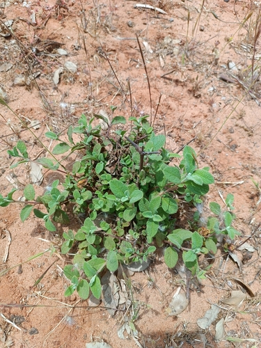
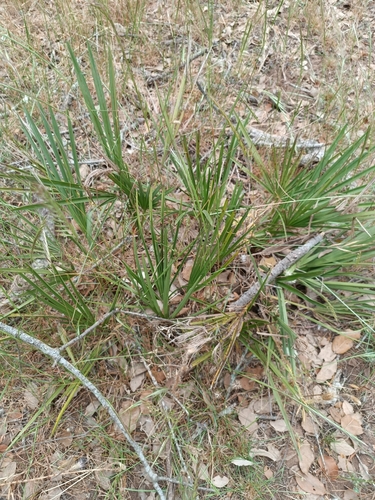
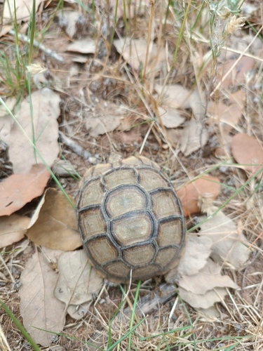
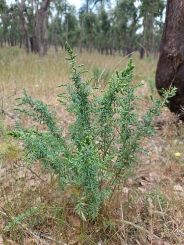
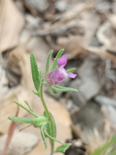
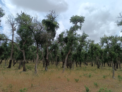
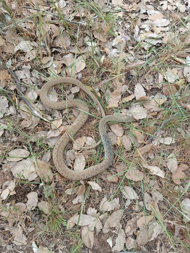
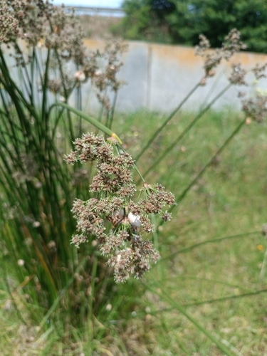
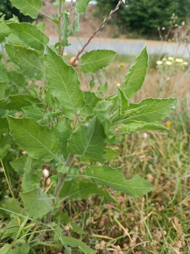
Research-grade observations from iNaturalist (within ~15 mi).
Events
Gallery
Sources
- • Open-Meteo (ERA5 reanalysis)
- • Open-Meteo Air Quality (CAMS)
- • USGS Earthquake Catalog (global feed)
- • GBIF (Global Biodiversity Information Facility)
- • iNaturalist
- • Open-Elevation
- • Open-Meteo / sunrise-sunset.org
- • Wikipedia Pageviews API