Browse / United States / Maryland / Aberdeen
Aberdeen
Marylandcity

Aberdeen
Total population
17,298
Median home value
$261,400
Bachelor's+
Median income
$74,826
Founded
1892
Demographic figures from US Census Bureau · ACS 5-year estimates. Overview below cites Wikipedia and may reference a different year.
City facts
Facts from Wikidata (CC0).
Overview
Aberdeen is a city in Harford County, Maryland, United States, 26 miles (42 km) northeast of Baltimore. The population was 16,254 at the 2020 United States census. Aberdeen is the largest municipality in Harford County.
Read more on WikipediaHistory & geography
History
Aberdeen was named after Aberdeen, Scotland, by immigrating Scots. The James B. Baker House, Chestnut Ridge, Griffith House, Poplar Hill, Sophia's Dairy, and Swansbury are listed on the National Register of Historic Places. Aberdeen began as a farming community in 1720, when Charles Calvert, the fifth Lord Baltimore, granted 1,140 acres of fertile land to Edward Hall. Located on the western edge of the Chesapeake on the main road between Alexandria and Philadelphia called the Old Post Road, the village at Halls Cross Road remained small until the Philadelphia, Wilmington and Baltimore Railroad scouted the area for a watering station in 1835. One of the railroad companies engineers was Edmund Law Rogers who saw the great potential in the place for development. The Village of Aberdeen was a development by Edmund Law Rogers around 1800. The area now known as Aberdeen is a cluster of three communities * Hall's Cross Roads, located at the intersection of Old Philadelphia Road (MD-7, in some places known as Old Post Road, then known as Philadelphia Post Road) and Bush River Neck Road (then the main road from Swan Creek ) * Mechanicsville, located at *The Village of Aberdeen Upon incorporation as a town, the Aberdeen government was led by a board of commissioners. * From 1892 to 1905, a board president was elected annually by the commissioners. * From 1906 to 1954, this election was changed to be biennial. * From 1955 to 1992, the election of a board president was changed back to be annual. In 1992, the Town of Aberdeen revised its charter and became the City of Aberdeen with an elected mayor. The first mayor of the City of Aberdeen was Ruth Elliot. The second mayor was Doug Wilson, and Fred Simmons was elected mayor in 2005. Michael Bennett served as mayor from 2007…
Geography
According to the United States Census Bureau, the city has a total area of , of which, is land and is water. The city of Aberdeen is located at the north end of Upper Chesapeake Bay.
Excerpted from the corresponding Wikipedia article (CC BY-SA).
Demographics & economy
Race & ethnicity
Source: US Census Bureau — American Community Survey, 5-year estimates.
Geography
Coordinates & boundaries from the US Census TIGER/Line shapefiles.
Climate
Current forecast
Forecast for Aberdeen, MD from NOAA NWS API.
Air quality
Industrial & pollution facilities
Natural hazard risk
Health (adults)
Age-adjusted prevalence estimates from CDC PLACES (latest release).
Walkability
Amenities nearby
Wildlife & biodiversity
Schools
Largest nearby schools
- Aberdeen HighHigh · Aberdeen · 1,495 students · 14.8:1 ratio
- Bel Air HighHigh · Bel Air · 1,489 students · 16.4:1 ratio
- Edgewood HighHigh · Edgewood · 1,415 students · 15.4:1 ratio
- C. Milton Wright HighHigh · Bel Air · 1,266 students · 15.1:1 ratio
- Southampton MiddleMiddle · Bel Air · 1,175 students · 15.5:1 ratio
- Bel Air MiddleMiddle · Bel Air · 1,138 students · 14.4:1 ratio
- Aberdeen MiddleMiddle · Aberdeen · 1,082 students · 12.3:1 ratio
- Homestead/Wakefield ElementaryElementary · Bel Air · 1,057 students · 17.6:1 ratio
Public K–12 schools within ~10 mi from Urban Institute Education Data Portal (NCES Common Core of Data, 2022).
Earthquake history
Photos
Sights & places nearby
Notable people from here


People born within ~10 km, from Wikidata (CC0). Click any name for their Wikipedia article.
Geography & sun
Nearby airports
Public attention
Books about this place
Recent natural events nearby
Ground air-quality sensors
Recently spotted species
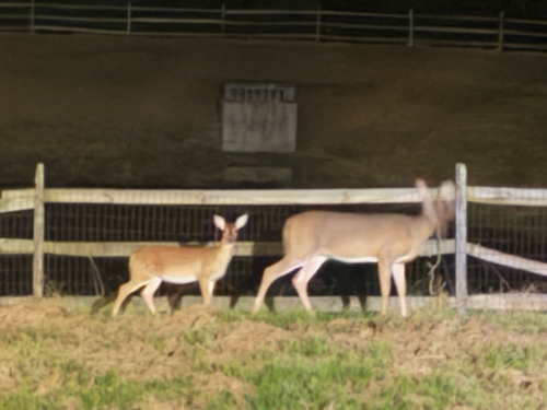
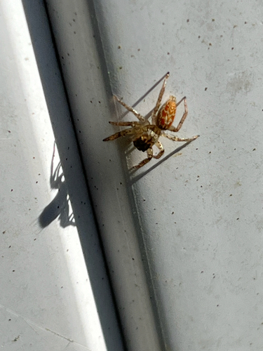
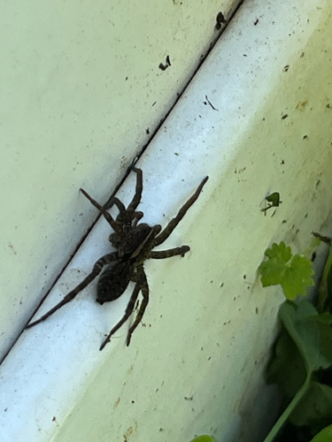
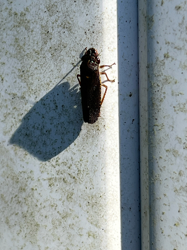

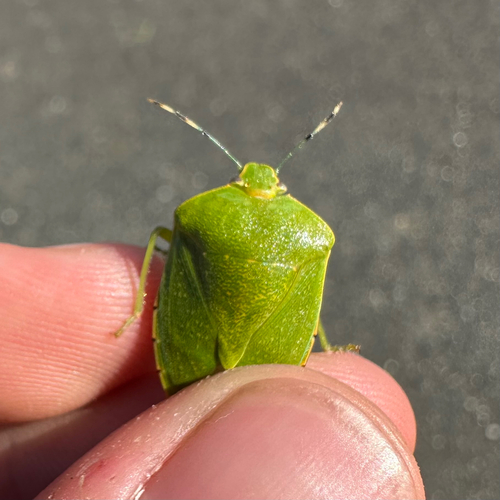

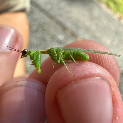
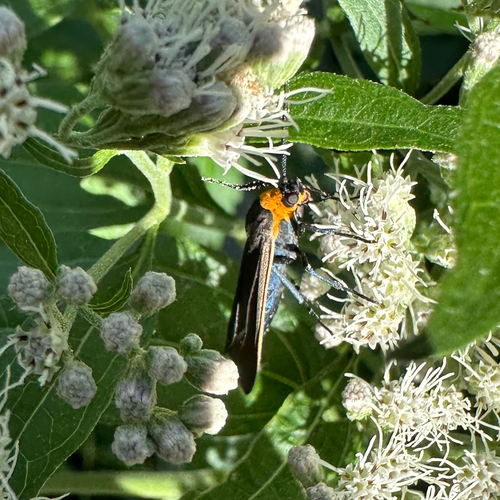
Research-grade observations from iNaturalist (within ~15 mi).
Nearest stream gauge
Events
Gallery
Sources
- • Wikipedia
- • US Census Bureau (ACS 5-year estimates)
- • NOAA National Weather Service
- • Wikidata
- • NCES via Urban Institute Education Data Portal
- • iNaturalist
- • CDC PLACES