Browse / United States / Maryland / Accident
Accident
Marylandtown

Accident
Total population
351
Median home value
$220,300
Bachelor's+
Median income
$58,929
Founded
1786
Demographic figures from US Census Bureau · ACS 5-year estimates. Overview below cites Wikipedia and may reference a different year.
City facts
Facts from Wikidata (CC0).
Overview
Accident is a town in Garrett County, Maryland, United States. The population was 338 at the 2020 United States census. Accident has been noted for its unusual name. A resident of Accident is called an "Accidental".
Read more on WikipediaHistory & geography
History
Accident was one of the early settlements in the far west of Maryland. The name originates about the time of the 1786 land survey. Though the origin or meaning of the name is obscure, one popular story says that Brooke Beall and William Deakins, Jr., friends from Prince George's County, were conducting separate surveys in the area at the time and "by accident" Deakins claimed land already surveyed by Beall. When Lord Baltimore opened up the area, which he called Monocacy Manor, for settlement, in the early 1770s, Brooke Beall secured permission to survey . It will never be known for certain how Beall came to choose this particular spot, but the surveyor was given clear instructions where to start. He was to begin "in the center between two bounded white oak trees, standing on the North Side of the South fork of Bear Creek in or near a glade about one Hundred yards from said Run, about one or two Miles above a Lick known by the name of the "Cole Mine Lick", about above the mouth of Broad Creek and about East of a Ridge of the Negro Mountain." John Hanson, Jr., later a delegate to the Continental Congress, and President of the United States in Congress Assembled, on April 14, 1774, surveyed the land, finding that it only contained . For the next twelve years, nothing was done with the survey. The American Revolutionary War intervened, and it was not until February 15, 1786, that the land was granted by means of a patent to William Deakins. The following year the surrounding countryside was surveyed into military lots by Francis Deakins, lots that were meant as compensation for the soldiers who served from Maryland during the Revolution. Each soldier who served for two years received one lot of , officers received four lots of each. Kaese Mill was listed on the…
Geography
According to the United States Census Bureau, the town has a total area of , all land. Accident is located in the plateau region of the Appalachian Mountains.
Excerpted from the corresponding Wikipedia article (CC BY-SA).
Demographics & economy
Race & ethnicity
Source: US Census Bureau — American Community Survey, 5-year estimates.
Geography
Coordinates & boundaries from the US Census TIGER/Line shapefiles.
Climate
Current forecast
Forecast for Accident, MD from NOAA NWS API.
Air quality
Industrial & pollution facilities
Natural hazard risk
Health (adults)
Age-adjusted prevalence estimates from CDC PLACES (latest release).
Walkability
Amenities nearby
Wildlife & biodiversity
Most-observed species
- American CrowCorvus brachyrhynchos C.L.Brehm, 1822 · Aves8,876
- American RobinTurdus migratorius Linnaeus, 1766 · Aves7,688
- Black-capped ChickadeePoecile atricapillus (Linnaeus, 1766) · Aves7,520
- Song SparrowMelospiza melodia (A.Wilson, 1810) · Aves6,694
- Blue JayCyanocitta cristata (Linnaeus, 1758) · Aves6,442
- American GoldfinchSpinus tristis (Linnaeus, 1758) · Aves6,178
- Northern CardinalCardinalis cardinalis (Linnaeus, 1758) · Aves6,005
- Tufted TitmouseBaeolophus bicolor (Linnaeus, 1766) · Aves5,394
Citizen-science & research observations from the Global Biodiversity Information Facility (GBIF).
Schools
Largest nearby schools
- Northern Garrett High SchoolHigh · Accident · 439 students · 12.2:1 ratio
- Northern Middle SchoolMiddle · Accident · 320 students · 13.9:1 ratio
- Accident ElementaryElementary · Accident · 235 students · 13.1:1 ratio
- Friendsville ElementaryElementary · Friendsville · 138 students · 12.5:1 ratio
Public K–12 schools within ~10 mi from Urban Institute Education Data Portal (NCES Common Core of Data, 2022).
Earthquake history
Most recent
- M 2.9 — 2020-10-065 km WSW of Bolivar, Pennsylvania
Events from the USGS Earthquake Catalog (global) (FDSN Event Web Service).
Photos
Sights & places nearby
Notable people from here

People born within ~10 km, from Wikidata (CC0). Click any name for their Wikipedia article.
Nearby places in Maryland
Geography & sun
Elevation, sunrise/sunset and daylight from Open-Meteo. Solar climatology from NASA POWER.
Nearby airports
Public attention
Pageview totals from the Wikimedia Pageviews API.
Books about Accident

Search results from Open Library.
Recent natural events nearby
Ground air-quality sensors
Recently spotted species
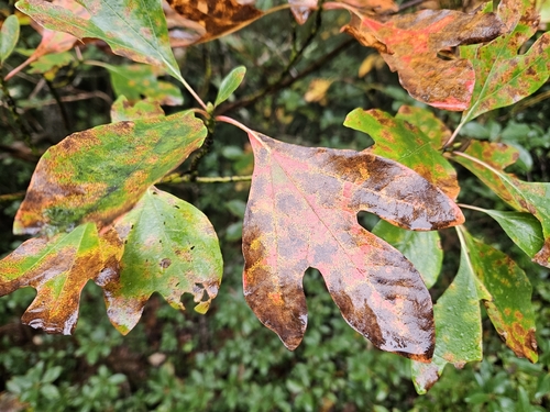
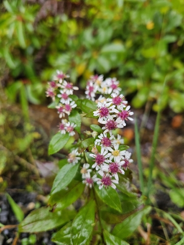
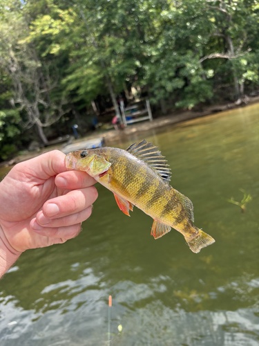
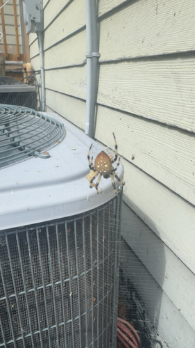
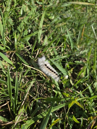
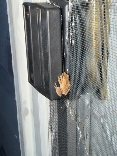
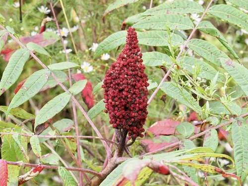

Research-grade observations from iNaturalist (within ~15 mi).
Nearest stream gauge
Live readings from USGS NWIS · measured 2026-09-23 11:30 UTC.
Events
Gallery
Sources
- • Wikipedia
- • US Census Bureau (ACS 5-year estimates)
- • NOAA National Weather Service
- • Wikidata
- • USGS Earthquake Catalog (global feed)
- • USGS NWIS (water data)
- • NCES via Urban Institute Education Data Portal
- • GBIF (Global Biodiversity Information Facility)
- • iNaturalist
- • CDC PLACES
- • Open-Meteo / sunrise-sunset.org
- • Wikipedia Pageviews API
- • Open Library