Browse / United States / Maryland / Arnold
Arnold
MarylandCDP

Arnold
Total population
24,303
Median home value
$564,200
Bachelor's+
Median income
$141,639
Demographic figures from US Census Bureau · ACS 5-year estimates. Overview below cites Wikipedia and may reference a different year.
- Coastal Flood Warning · SevereCoastal Flood Warning issued September 24 at 10:47AM EDT until September 25 at 11:00AM EDT by NWS Baltimore MD/Washington DC
Source: NOAA National Weather Service.
City facts
Facts from Wikidata (CC0).
Overview
Arnold, a census-designated place (CDP) in Anne Arundel County, Maryland, United States, located just outside of the state's capital, Annapolis. It is located 18.78 miles south of Baltimore, and 29.97 miles east of Washington, D.C. The population was 24,064 as of the 2020 census. Neighborhoods straddle College Parkway and Maryland Route 2. Arnold is located on the scenic Broadneck Peninsula. The ZIP code is 21012. It is bordered by Severna Park to the northwest, Cape Saint Claire to the southeast, Annapolis to the southwest, and Lake Shore to the northeast.
Read more on WikipediaHistory & geography
History
Native Americans are known to have resided in the region in pre-Columbian times based on artifacts found in the Ulmstead Point area dating back to the Archaic period (5000–1500 BC). Later tribes that have been in the area include the Algonquin tribes, among others. Arrowheads and other artifacts have been found in the Briarcliff area. However, when Captain John Smith arrived in the area in 1608, he reported no Natives. Following the establishment of Anne Arundell County (now Anne Arundel County) in 1650, much of the land that later became Arnold lay within a large proprietary land grant known as Swan Neck, which encompassed substantial portions of the Broadneck Peninsula. Governor William Stone granted Swan Neck to Edward Lloyd I, Commander of Anne Arundell County, and over time portions of the grant were subdivided and transferred. By the early nineteenth century, one such subdivision had become known as Rayland, an agricultural estate containing all of the frontage of what is now Arnold's along the Severn River, from the modern communities of Rugby Hall at the north to Pines-on-the-Severn at the south. The early settlement of Arnold, an area between the Magothy and Severn rivers, began with the farm of John Arnold. He was a veteran of the War of 1812, who acquired on the north side of the Severn River. One of his sons, Thomas Arnold, inherited the land, later working as the local station master for the Baltimore and Annapolis Short Line Railroad. Residents know the area to have been home to a racetrack in the present-day Revell-Downs planned community and even a rollercoaster and boardwalk in Mago Vista Beach.
Geography
Arnold is located at (39.047263, −76.496552). It is north of Annapolis, the state capital, and south of downtown Baltimore. According to the United States Census Bureau, the CDP has a total area of , of which is land and , or 20.18%, is water, consisting of the tidal Severn (to the southwest) and Magothy (to the northeast) rivers.
Excerpted from the corresponding Wikipedia article (CC BY-SA).
Demographics & economy
Race & ethnicity
Source: US Census Bureau — American Community Survey, 5-year estimates.
Geography
Coordinates & boundaries from the US Census TIGER/Line shapefiles.
Climate
Current forecast
Forecast for Arnold, MD from NOAA NWS API.
Air quality
Industrial & pollution facilities
Natural hazard risk
Health (adults)
Age-adjusted prevalence estimates from CDC PLACES (latest release).
Walkability
Amenities nearby
Wildlife & biodiversity
Schools
Largest nearby schools
- Old Mill HighHigh · Millersville · 2,445 students · 17:1 ratio
- Broadneck HighHigh · Annapolis · 2,174 students · 17.8:1 ratio
- Annapolis HighHigh · Annapolis · 2,127 students · 14.4:1 ratio
- Severna Park HighHigh · Severna Park · 1,873 students · 19.3:1 ratio
- Crofton High SchoolHigh · Gambrills · 1,805 students · 18.8:1 ratio
- South River HighHigh · Edgewater · 1,649 students · 16.5:1 ratio
- Arundel HighHigh · Gambrills · 1,617 students · 17.4:1 ratio
- Chesapeake HighHigh · Pasadena · 1,419 students · 17.3:1 ratio
Public K–12 schools within ~10 mi from Urban Institute Education Data Portal (NCES Common Core of Data, 2022).
Earthquake history
Photos
Sights & places nearby
Notable people from here


People born within ~10 km, from Wikidata (CC0). Click any name for their Wikipedia article.
Nearby places in Maryland
- Cape St. Claire3.2 mi away
- Herald Harbor3.8 mi away · pop. 2,430
- Severna Park4.4 mi away · pop. 40,228
- Arden on the Severn5.2 mi away
- Riva8.2 mi away
- Pasadena8.3 mi away
- Gambrills8.5 mi away
- Riviera Beach8.5 mi away
- Glen Burnie9.5 mi away
- Stevensville11.1 mi away · pop. 8,802
- Ferndale12.1 mi away
- Romancoke13 mi away · pop. 2,064
Geography & sun
Elevation, sunrise/sunset and daylight from Open-Meteo. Solar climatology from NASA POWER.
Nearby airports
Public attention
Pageview totals from the Wikimedia Pageviews API.
Books about Arnold

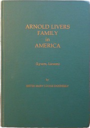

Search results from Open Library.
Recent natural events nearby
Ground air-quality sensors
Recently spotted species

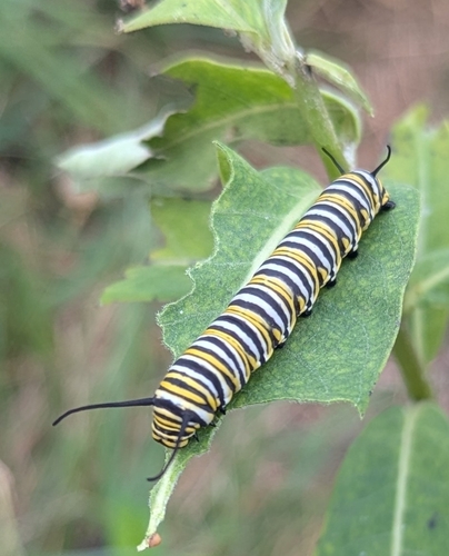

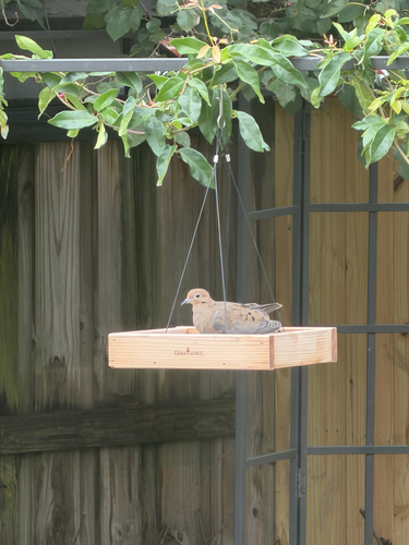
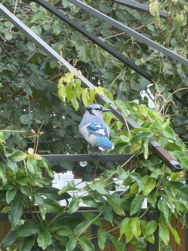

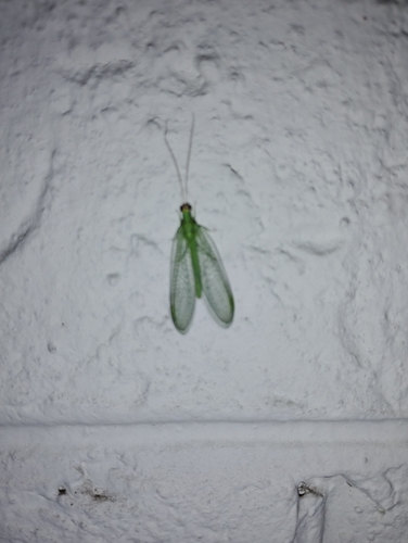
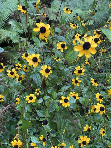
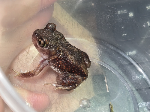
Research-grade observations from iNaturalist (within ~15 mi).
Nearest stream gauge
Events
Gallery
Sources
- • Wikipedia
- • US Census Bureau (ACS 5-year estimates)
- • NOAA National Weather Service
- • Wikidata
- • NCES via Urban Institute Education Data Portal
- • iNaturalist
- • CDC PLACES
- • Open-Meteo / sunrise-sunset.org
- • Wikipedia Pageviews API
- • Open Library