Browse / Moldova / Moldova / Bălți
Bălți
Moldovacity

Bălți
Total population
144,800
Demographic figures from National Bureau of Statistics (Moldova). Overview below cites Wikipedia and may reference a different year.
City facts
Sister cities
Facts from Wikidata (CC0).
Overview
Bălți is a city in Moldova. It is the third-largest city in terms of population, area and economic importance, after Chișinău and Tiraspol. The city holds the status of Municipality. It is a major industrial, cultural and commercial centre and transportation hub in the north of the country. It is situated 127 kilometres (79 mi) north of the capital Chișinău, and is located on the river Răut, a tributary of the Dniester, on a hilly landscape in the Bălți steppe. As of the 2024 Moldovan census, the Municipality had a population of 94,546 - while the city of Bălți proper had a population of 90,954.
Read more on WikipediaHistory & geography
Geography
Bălți is situated on the tops and slopes of three hills and in two small valleys. The land in the north of Moldova is very fertile, mostly consisting of black earth or chernozem. Several extraction sites for raw materials used in the construction industry are also found in the vicinity of Bălți. The creeks Răuțel, Copăceanca, and Flămândă cross the territory of the municipality, and flow into the river Răut. Also, several lakes are situated in Bălți: City Lake, Komsolskoe Lake, Hunters and Fishermen Lake, Strâmba Lake. The municipality covers an area of , of which the city proper , the village Elizaveta (an eastern suburb) , and the village Sadovoe (a north-western suburb) . Of these, an important portion () is agriculturally cultivated. The city itself is located on portions of three hills. The river Răut separates one of the hills to the north-east, the slopes of this hill are occupied by the neighbourhood Slobozia. Răut's affluent Răuțel separates another hill in the south, the slopes of which are the Podul Chișinăului. The largest of the three hills dominates the valleys of the creek and river, and contains the city centre and the old town, and the neighbourhoods Pământeni, Dacia, 6th district, 8th district, the city's main industrial area, and Molodova neighborhood. The top of this hill is occupied by the medical facilities district. Bălții Noi neighborhood is situated in the valley of the Răuțel creek. A Soroca neighborhood, 10th district, 9th district, the area of the former Bălți concentration camp, and the Bălți City Airport are situated in the valley of the Răut river. The names of city neighborhoods reflect different historic influences, such as names of 19th century suburbs that are nowadays within city limits: Pământeni, Slobozia, Molodova, Podul…
Excerpted from the corresponding Wikipedia article (CC BY-SA).
Geography
Coordinates & boundaries from the US Census TIGER/Line shapefiles.
Climate
Air quality
Walkability
Amenities nearby
Wildlife & biodiversity
Earthquake history
Photos
Sights & places nearby
Notable people from here


People born within ~10 km, from Wikidata (CC0). Click any name for their Wikipedia article.
Geography & sun
Elevation, sunrise/sunset and daylight from Open-Meteo. Solar climatology from NASA POWER.
Nearby airports
Public attention
Pageview totals from the Wikimedia Pageviews API.
Books about Bălți
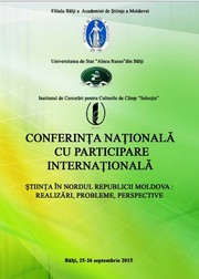


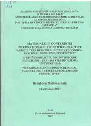
Search results from Open Library.
Recent natural events nearby
Ground air-quality sensors
Recently spotted species
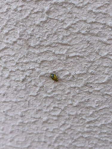
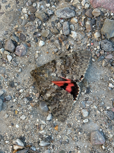
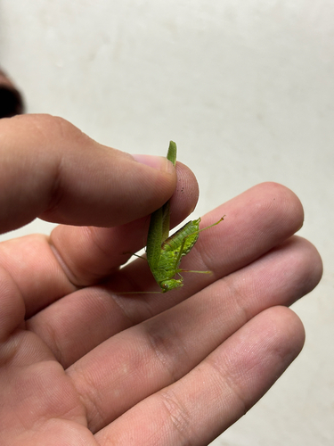
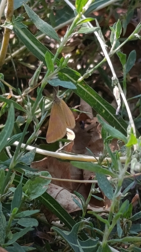
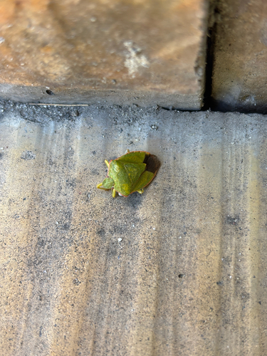
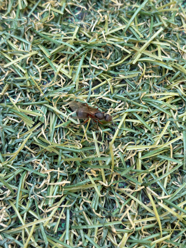
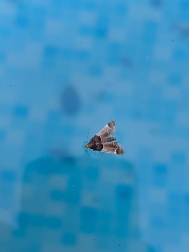
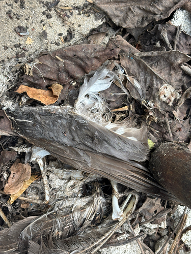
Research-grade observations from iNaturalist (within ~15 mi).
Events
Gallery
Sources
- • Wikipedia
- • Wikidata
- • iNaturalist
- • Open-Meteo / sunrise-sunset.org
- • Wikipedia Pageviews API
- • Open Library