Browse / United States / Maryland / Bethesda
Bethesda
MarylandCDP

Bethesda
Total population
69,397
Median home value
$1,169,900
Bachelor's+
Median income
$192,237
Air quality index
Demographic figures from US Census Bureau · ACS 5-year estimates. Overview below cites Wikipedia and may reference a different year.
- Test Message · Unknown
Source: NOAA National Weather Service.
City facts
Facts from Wikidata (CC0).
Overview
Bethesda is an unincorporated, census-designated place in southern Montgomery County, Maryland, United States. Located just northwest of Washington, D.C., it is a major business and government center of the Washington metropolitan region and a national center for medical research. According to the 2020 census, the community had a population of 68,056.
Read more on WikipediaHistory & geography
History
Bethesda is located in the traditional territory of the indigenous Native Piscataway and Nacotchtank at the time of European colonization. Fur trader Henry Fleet became the first European to visit the area, reaching it by sailing up the Potomac River. He stayed with the Piscataway tribe from 1623 to 1627, either as a guest or prisoner (historical accounts differ). Fleet eventually secured funding for another expedition to the region and was later granted proprietary rights to 2,000 acres of land in the nascent colony and became a member of Maryland's colonial legislature. Raids from the Senecas and Susquehannock resulted in the creation of the Maryland division of Rangers in 1694 to patrol the frontier. By 1862, a small settlement had grown around a store and tollhouse along the turnpike known as "Darcy's Store" for the store's owner, William E. Darcy. It consisted of a blacksmith shop, a church and school, and a few houses and stores. In 1871, postmaster Robert Franck renamed the settlement for the church. A streetcar line was established in 1890 and suburbanization increased in the early 1900s, and Bethesda grew in population. Communities near railroad lines had grown the fastest during the 19th century. Subdivisions began to appear on old farmland in the late 19th century, becoming the neighborhoods of Drummond, Woodmont, Edgemoor, and Battery Park. Farther north, several wealthy men made Rockville Pike famous for its mansions. These included Brainard W. Parker ("Cedarcroft", 1892), James Oyster ("Strathmore", 1899), George E. Hamilton ("Hamilton House", 1904; now the Stone Ridge School), Luke I. Wilson ("Tree Tops", 1926), Gilbert Hovey Grosvenor ("Wild Acres", 1928–29), and George Freeland Peter ("Stone House", 1930). In 1930, Armistead Peter's pioneering manor…
Geography
According to the U.S. Census Bureau, the CDP has a total area of , of which is land and (0.38%) is water. The main commercial corridor that passes through Bethesda is Maryland Route 355 (known as Wisconsin Avenue in Bethesda and as Rockville Pike and Hungerford Drive in more northern communities), which, to the north, connects Bethesda with the communities of North Bethesda and Rockville, ending, after several name changes, in Frederick. Toward the South, Rockville Pike becomes Wisconsin Avenue near the NIH Campus and continues beyond Bethesda through Chevy Chase, Friendship Heights and into Washington, D.C., ending in Georgetown. The area commonly known as Downtown Bethesda is centered at the intersection of Wisconsin Avenue, Old Georgetown Road and East-West Highway. This intersection is about two and one-half miles from Washington, D.C.'s western boundary, making Bethesda a close-in suburb of the nation's capital. Other focal points of downtown Bethesda include the Woodmont Triangle, bordered by Old Georgetown Road (Maryland Route 187), Woodmont and Rugby Avenues, and the Bethesda Row, centered at the intersection of Woodmont Avenue and Bethesda Avenue. Much of the dense construction in that area followed the opening of the Bethesda station on the Red Line of the Washington Metro rapid transit system, also located at this intersection and the centerpiece of the Bethesda Metro Center development. The Medical Center Metro stop lies about 0.7 miles north of the Bethesda stop, Medical Center, which serves the NIH Campus, the Walter Reed National Military Medical Center, and the Uniformed Services University of the Health Sciences.
Excerpted from the corresponding Wikipedia article (CC BY-SA).
Demographics & economy
Race & ethnicity
Source: US Census Bureau — American Community Survey, 5-year estimates.
Geography
Coordinates & boundaries from the US Census TIGER/Line shapefiles.
Climate
Current forecast
Forecast for Bethesda, MD from NOAA NWS API.
Air quality
Current readings from Open-Meteo Air Quality API (Copernicus CAMS European reanalysis).
Industrial & pollution facilities
Natural hazard risk
Health (adults)
Age-adjusted prevalence estimates from CDC PLACES (latest release).
Walkability
Amenities nearby
Wildlife & biodiversity
Most-observed species
- Northern CardinalCardinalis cardinalis (Linnaeus, 1758) · Aves198,419
- American RobinTurdus migratorius Linnaeus, 1766 · Aves164,308
- Carolina WrenThryothorus ludovicianus (Latham, 1790) · Aves155,928
- Blue JayCyanocitta cristata (Linnaeus, 1758) · Aves148,282
- Mourning DoveZenaida macroura (Linnaeus, 1758) · Aves133,865
- American CrowCorvus brachyrhynchos C.L.Brehm, 1822 · Aves133,192
- Red-bellied WoodpeckerMelanerpes carolinus (Linnaeus, 1758) · Aves125,292
- House SparrowPasser domesticus (Linnaeus, 1758) · Aves120,586
Citizen-science & research observations from the Global Biodiversity Information Facility (GBIF).
Schools
Largest nearby schools
- Montgomery Blair HighHigh · Silver Spring · 3,204 students · 16.7:1 ratio
- Walter Johnson HighHigh · Bethesda · 2,942 students · 18.6:1 ratio
- Wheaton HighHigh · Silver Spring · 2,599 students · 16.6:1 ratio
- Richard Montgomery HighHigh · Rockville · 2,390 students · 17.8:1 ratio
- Bethesda-Chevy Chase HighHigh · Bethesda · 2,335 students · 18:1 ratio
- Winston Churchill HighHigh · Potomac · 2,234 students · 18.6:1 ratio
- Walt Whitman HighHigh · Bethesda · 2,018 students · 17.4:1 ratio
- Albert Einstein HighHigh · Kensington · 2,012 students · 15.4:1 ratio
Public K–12 schools within ~10 mi from Urban Institute Education Data Portal (NCES Common Core of Data, 2022).
Earthquake history
Most recent
- M 2.5 — 2025-10-274 km E of Riverside, Maryland
- M 2.6 — 2021-06-252 km SE of Woodlawn, Maryland
- M 3.03 — 2016-01-173 km NE of Ranson, West Virginia
- M 3.6 — 2010-07-165 km NNW of Barnesville, Maryland
Events from the USGS Earthquake Catalog (global) (FDSN Event Web Service).
Photos
Sights & places nearby
Notable people from here
Nearby places in Maryland
- Glen Echo1.8 mi away
- Chevy Chase1.9 mi away · pop. 2,906
- Friendship Heights Village2.3 mi away
- Chevy Chase Section Five2.4 mi away
- Chevy Chase Section Three2.4 mi away
- Chevy Chase Village2.4 mi away
- Chevy Chase2.4 mi away
- Cabin John2.6 mi away
- North Chevy Chase2.6 mi away · pop. 746
- Chevy Chase View3 mi away
- South Kensington3.4 mi away
- North Bethesda3.4 mi away · pop. 49,677
Geography & sun
Elevation, sunrise/sunset and daylight from Open-Meteo. Solar climatology from NASA POWER.
Nearby airports
Public attention
Pageview totals from the Wikimedia Pageviews API.
Books about Bethesda
Search results from Open Library.
Recent natural events nearby
Ground air-quality sensors
Recently spotted species
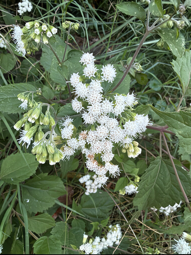
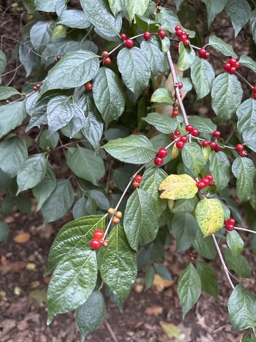

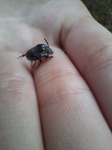
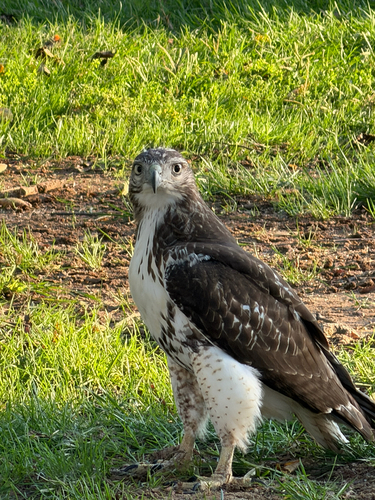
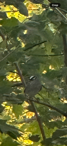


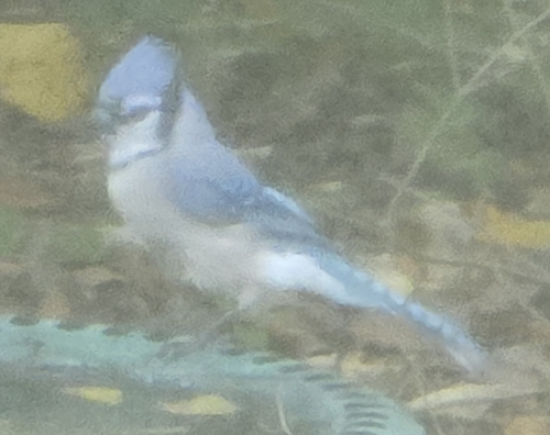
Research-grade observations from iNaturalist (within ~15 mi).
Nearest stream gauge
Live readings from USGS NWIS · measured 2026-10-16 21:50 UTC.
Events
Gallery
Sources
- • Wikipedia
- • US Census Bureau (ACS 5-year estimates)
- • NOAA National Weather Service
- • Wikidata
- • Open-Meteo Air Quality (CAMS)
- • USGS Earthquake Catalog (global feed)
- • USGS NWIS (water data)
- • NCES via Urban Institute Education Data Portal
- • GBIF (Global Biodiversity Information Facility)
- • iNaturalist
- • CDC PLACES
- • Open-Meteo / sunrise-sunset.org
- • Wikipedia Pageviews API
- • Open Library