Browse / United States / Maryland / Burtonsville
Burtonsville
MarylandCDP

Burtonsville
Total population
10,203
Median home value
$488,800
Bachelor's+
Median income
$134,276
Demographic figures from US Census Bureau · ACS 5-year estimates. Overview below cites Wikipedia and may reference a different year.
- Test Message · Unknown
Source: NOAA National Weather Service.
City facts
Facts from Wikidata (CC0).
Overview
Burtonsville is a census-designated place and an unincorporated area in Montgomery County, Maryland, United States. It is situated in the northeast corner of Montgomery County, right on the border of both Howard and Prince George's counties. It is considered a suburban town in the Washington metropolitan area.
Read more on WikipediaHistory & geography
History
In colonial times, the area was referred to as the Patuxent Hundred and later the Eastern Branch Hundred, a community comprising approximately 100 inhabitants. Prince George's County Court recorded that on September 27, 1699, Thomas Wells and Thomas Pindell were appointed to be the overseers of Patuxant Hundred. Among some of the earliest land grants are Maiden's Fancy, a tract surveyed for Neal Clark in 1700, and Bear Bacon nearby, a tract of land surveyed in 1703 for a Mark Richardson. Another prominent land holder was Richard Snowden, an iron master, who held various land patents in the area, including Snowdens Manor (surveyed 1715) consisting of an impressive and Snowdens Mill (surveyed 1723) occupying an additional . From these larger tracts, among others, were carved smaller tracts of land which were either rented or sold off to planters and the like. The community of Burtonsville, originally called Burton's, takes its name from Isaac Burton, who in 1825 bought out his siblings' shares of his father's land and became the major landowner in the area. He and his wife Keturah had 17 children, many of whom stayed in the area as adults. The community itself grew around the intersection of Old Columbia Pike and the road to Sandy Spring. In the 1850s Isaac Burton became the first postmaster of the newly established post office in the vicinity, which operated out of his store at the intersection. Burtonsville's core area today continues to center around the intersection of Maryland Route 198 and U.S. Route 29.
Geography
As an unincorporated area, Burtonsville's boundaries are not officially defined. Burtonsville is, however, recognized by the United States Census Bureau and by the United States Geological Survey as a census-designated place. According to the United States Census Bureau, the place has a total area of , of which is land and 0.2 square mile (0.4 km, or 1.88%) is water.
Excerpted from the corresponding Wikipedia article (CC BY-SA).
Demographics & economy
Race & ethnicity
Source: US Census Bureau — American Community Survey, 5-year estimates.
Geography
Coordinates & boundaries from the US Census TIGER/Line shapefiles.
Climate
Current forecast
Forecast for Burtonsville, MD from NOAA NWS API.
Air quality
Industrial & pollution facilities
Natural hazard risk
Health (adults)
Age-adjusted prevalence estimates from CDC PLACES (latest release).
Walkability
Amenities nearby
Wildlife & biodiversity
Most-observed species
- Northern CardinalCardinalis cardinalis (Linnaeus, 1758) · Aves132,437
- Carolina WrenThryothorus ludovicianus (Latham, 1790) · Aves107,698
- Blue JayCyanocitta cristata (Linnaeus, 1758) · Aves99,737
- American RobinTurdus migratorius Linnaeus, 1766 · Aves99,620
- Mourning DoveZenaida macroura (Linnaeus, 1758) · Aves91,562
- American CrowCorvus brachyrhynchos C.L.Brehm, 1822 · Aves86,479
- Red-bellied WoodpeckerMelanerpes carolinus (Linnaeus, 1758) · Aves85,427
- Tufted TitmouseBaeolophus bicolor (Linnaeus, 1766) · Aves84,794
Citizen-science & research observations from the Global Biodiversity Information Facility (GBIF).
Schools
Largest nearby schools
- Montgomery Blair HighHigh · Silver Spring · 3,204 students · 16.7:1 ratio
- Wheaton HighHigh · Silver Spring · 2,599 students · 16.6:1 ratio
- Paint Branch HighHigh · Burtonsville · 2,135 students · 16.4:1 ratio
- Albert Einstein HighHigh · Kensington · 2,012 students · 15.4:1 ratio
- Springbrook HighHigh · Silver Spring · 1,838 students · 16.3:1 ratio
- John F. Kennedy HighHigh · Silver Spring · 1,827 students · 15:1 ratio
- Northwood HighHigh · Silver Spring · 1,795 students · 14.2:1 ratio
- James Hubert Blake HighHigh · Silver Spring · 1,784 students · 17.5:1 ratio
Public K–12 schools within ~10 mi from Urban Institute Education Data Portal (NCES Common Core of Data, 2022).
Earthquake history
Most recent
- M 2.5 — 2025-10-274 km E of Riverside, Maryland
- M 2.6 — 2021-06-252 km SE of Woodlawn, Maryland
- M 2.81 — 2019-09-155 km ESE of East Berlin, Pennsylvania
- M 3.03 — 2016-01-173 km NE of Ranson, West Virginia
- M 3.6 — 2010-07-165 km NNW of Barnesville, Maryland
Events from the USGS Earthquake Catalog (global) (FDSN Event Web Service).
Photos
Sights & places nearby
Notable people from here


People born within ~10 km, from Wikidata (CC0). Click any name for their Wikipedia article.
Nearby places in Maryland
Geography & sun
Elevation, sunrise/sunset and daylight from Open-Meteo. Solar climatology from NASA POWER.
Nearby airports
Public attention
Pageview totals from the Wikimedia Pageviews API.
Books about Burtonsville
Search results from Open Library.
Recent natural events nearby
Ground air-quality sensors
Recently spotted species
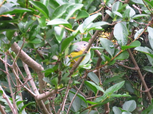
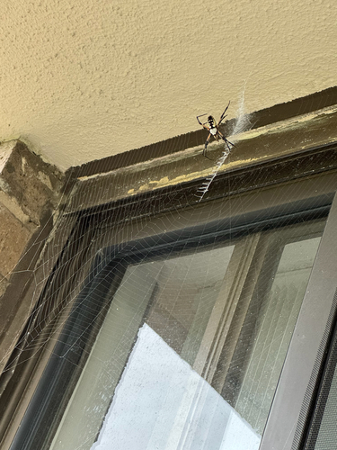
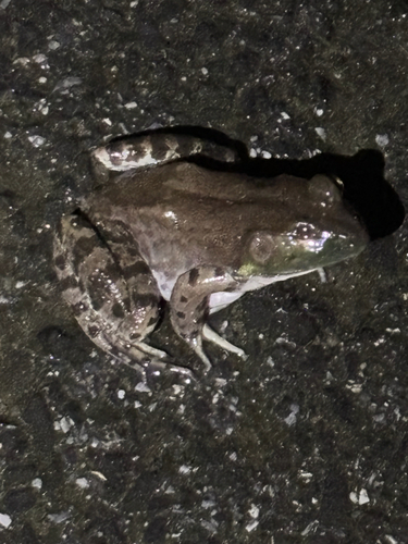
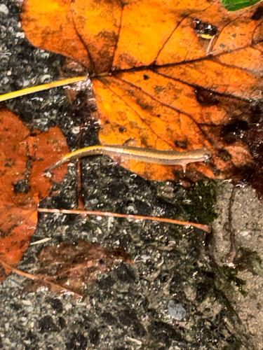
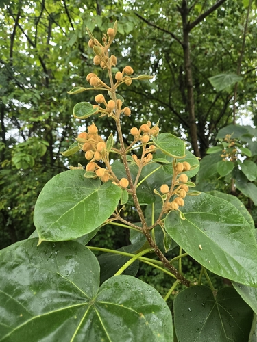
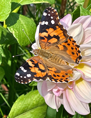
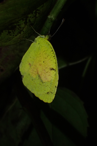
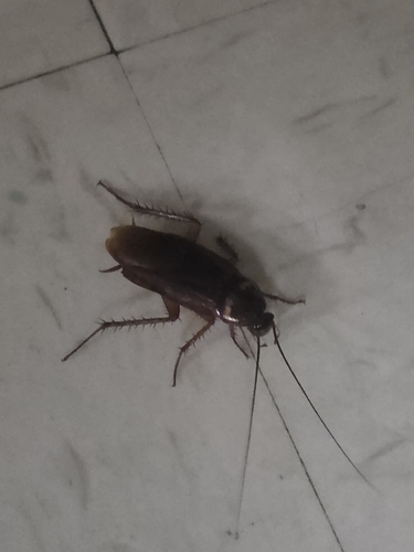
Research-grade observations from iNaturalist (within ~15 mi).
Nearest stream gauge
Events
Gallery
Sources
- • Wikipedia
- • US Census Bureau (ACS 5-year estimates)
- • NOAA National Weather Service
- • Wikidata
- • USGS Earthquake Catalog (global feed)
- • NCES via Urban Institute Education Data Portal
- • GBIF (Global Biodiversity Information Facility)
- • iNaturalist
- • CDC PLACES
- • Open-Meteo / sunrise-sunset.org
- • Wikipedia Pageviews API
- • Open Library