Browse / United States / Maryland / Camp Springs
Camp Springs
MarylandCDP

Camp Springs
Total population
22,544
Median home value
$415,000
Bachelor's+
Median income
$120,456
Demographic figures from US Census Bureau · ACS 5-year estimates. Overview below cites Wikipedia and may reference a different year.
City facts
Facts from Wikidata (CC0).
Overview
Camp Springs is an unincorporated area and census-designated place (CDP) in Prince George's County, Maryland, United States. The population was 22,734 at the 2020 census. Camp Springs is not an official post office designation; the area is divided among the surrounding mailing addresses of Temple Hills, Fort Washington, Clinton, and Suitland.
Read more on WikipediaHistory & geography
History
The community of Camp Springs was settled in the mid-19th century at the crossroads of present-day Branch Avenue and Allentown Road. By 1860, the settlement contained several stores, a blacksmith shop, a school, Methodist church, and several residences. Early maps record the name of this settlement as Allentown, after the Allen family. The Allens were large landholders in the area, and the town, adjacent road, and Allenwood Elementary School were named in recognition of them. The town's popular name, and subsequently the name of its post office, was Camp Springs. According to local history, the community was called Camp Springs since soldiers en route to Fort Meade from the District of Columbia found the area to be a comfortable place to camp due to the abundant springs. Throughout the late- 19th and early 20th centuries, the Camp Springs area did not experience significant growth. However, the opening of Andrews AFB on an adjacent tract of land, the proximity of the area to the District of Columbia, and a housing shortage after World War II made the Camp Springs area an ideal location for residential development. Most of the development in the Camp Springs area occurred north of the Camp Springs crossroads in the 1940s and 1950s. The lack of water and sewer lines in most locations until the late 1950s and early 1960s kept the pace of development slow. The largest development in the 1940s was the subdivision of the Middleton farm north of Camp Springs. This farm was platted into Glenn Hills, Middleton Farm, and Middleton Valley. Guy Trueman built one of his many subdivisions in the mid-1940s by platting Trueman Heights on over in the northwest quadrant of the Camp Springs crossroads. Modest single-family houses were constructed along a fragmented grid of streets.…
Geography
Camp Springs is located at . According to the United States Census Bureau, the CDP has a total area of , of which , or 0.19%, is water. Joint Base Andrews, home base of the Air Force Systems Command and the official presidential airplane Air Force One, is adjacent to Camp Springs, and the base in particular, along with federal jobs in Washington, D.C., were major reasons for the community's original development. The Capital Beltway passes through the area, and the Washington Metro Branch Avenue station, southern terminus of the Green Line, is located nearby. The Maryland-National Capital Park and Planning Commission operates a year-round indoor and outdoor public swimming pool on Allentown Road. The Camp Springs Senior Activity Center is housed in the former Camp Springs Elementary School. From the Heart Church Ministries has an average weekly attendance of 7,000 worshippers. The climate in this area is characterized by hot, humid summers and generally mild to cool winters. According to the Köppen Climate Classification system, Camp Springs has a humid subtropical climate, abbreviated "Cfa" on climate maps.
Excerpted from the corresponding Wikipedia article (CC BY-SA).
Demographics & economy
Race & ethnicity
Source: US Census Bureau — American Community Survey, 5-year estimates.
Geography
Coordinates & boundaries from the US Census TIGER/Line shapefiles.
Climate
Current forecast
Forecast for Camp Springs, MD from NOAA NWS API.
Air quality
Industrial & pollution facilities
Natural hazard risk
Health (adults)
Age-adjusted prevalence estimates from CDC PLACES (latest release).
Walkability
Amenities nearby
Wildlife & biodiversity
Schools
Largest nearby schools
- Charles Herbert Flowers HighHigh · Springdale · 2,569 students · 21.1:1 ratio
- Dr. Henry A. Wise Jr. HighHigh · Upper Marlboro · 2,257 students · 17.2:1 ratio
- Bladensburg HighHigh · Bladensburg · 2,164 students · 16.5:1 ratio
- Suitland HighHigh · Suitland · 1,834 students · 14.4:1 ratio
- Accokeek AcademyElementary · Accokeek · 1,567 students · 16.7:1 ratio
- Oxon Hill HighHigh · Oxon Hill · 1,553 students · 18.5:1 ratio
- Chesapeake Math and IT South Public CharterOther · Upper Marlboro · 1,486 students · 18.1:1 ratio
- Potomac HighHigh · Oxon Hill · 1,253 students · 14.2:1 ratio
Public K–12 schools within ~10 mi from Urban Institute Education Data Portal (NCES Common Core of Data, 2022).
Earthquake history
Photos
Sights & places nearby
Notable people from here


People born within ~10 km, from Wikidata (CC0). Click any name for their Wikipedia article.
Nearby places in Maryland
- Temple Hills1.7 mi away
- Marlow Heights1.8 mi away
- Morningside2.2 mi away
- Suitland3 mi away
- Hillcrest Heights3.5 mi away
- Glassmanor3.6 mi away
- Friendly4 mi away
- Forestville4.1 mi away · pop. 10,495
- Capitol Heights5 mi away · pop. 4,020
- Forest Heights5 mi away
- Rosaryville5.5 mi away
- Maryland Park5.8 mi away · pop. 839
Geography & sun
Nearby airports
Public attention
Books about this place
Recent natural events nearby
Ground air-quality sensors
Recently spotted species
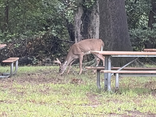

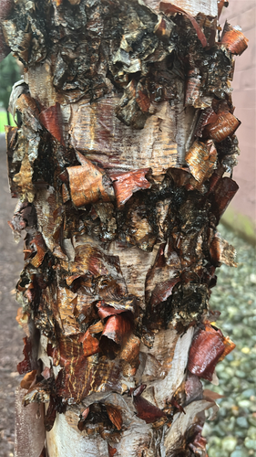


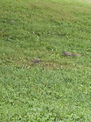
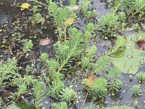

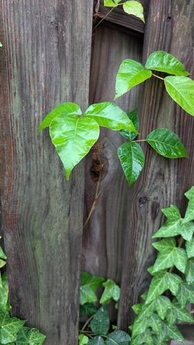
Research-grade observations from iNaturalist (within ~15 mi).
Nearest stream gauge
Live readings from USGS NWIS · measured 2025-12-08 12:05 UTC.
Events
Gallery
Sources
- • Wikipedia
- • US Census Bureau (ACS 5-year estimates)
- • NOAA National Weather Service
- • Wikidata
- • USGS NWIS (water data)
- • NCES via Urban Institute Education Data Portal
- • iNaturalist
- • CDC PLACES